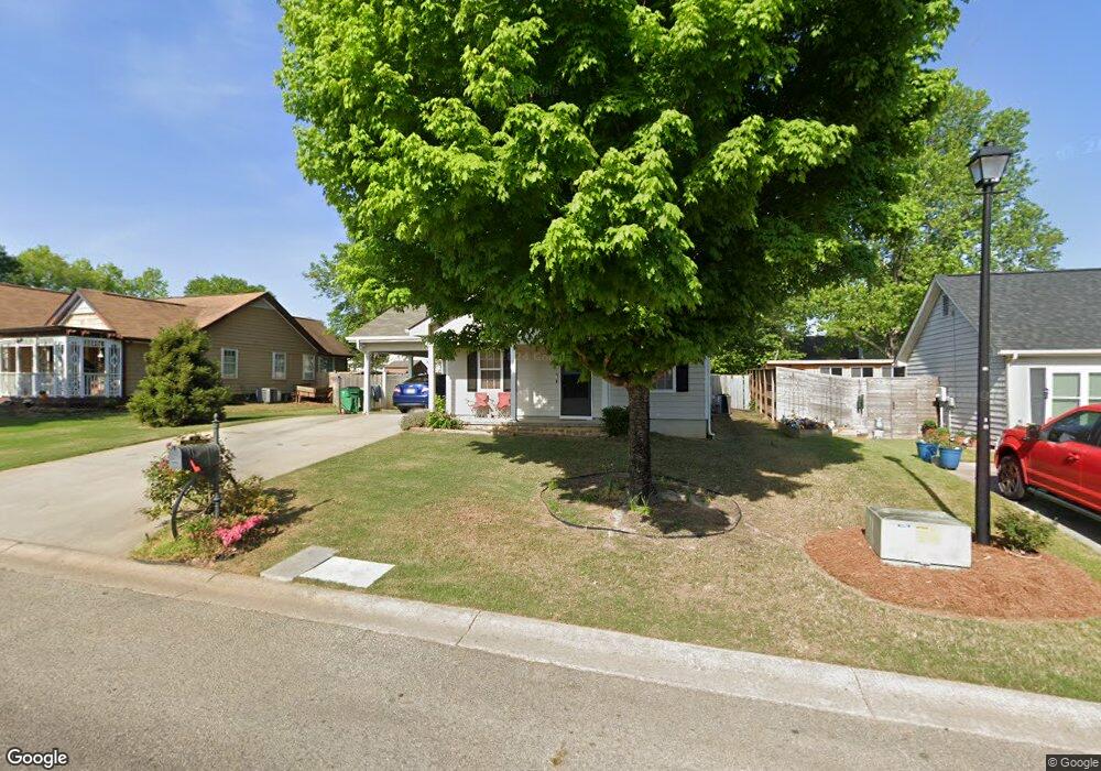
133 Sentry Ct Winder, GA 30680
Estimated Value: $236,000 - $292,000
3
Beds
2
Baths
1,296
Sq Ft
$206/Sq Ft
Est. Value
About This Home
This home is located at 133 Sentry Ct, Winder, GA 30680 and is currently estimated at $267,449, approximately $206 per square foot. 133 Sentry Ct is a home located in Barrow County with nearby schools including County Line Elementary School, Russell Middle School, and Winder-Barrow High School.
Ownership History
Date
Name
Owned For
Owner Type
Purchase Details
Closed on
Oct 11, 2004
Sold by
Hud
Bought by
Asta Liborio L
Current Estimated Value
Home Financials for this Owner
Home Financials are based on the most recent Mortgage that was taken out on this home.
Original Mortgage
$78,764
Outstanding Balance
$37,872
Interest Rate
5.65%
Mortgage Type
VA
Estimated Equity
$229,577
Purchase Details
Closed on
Apr 6, 2004
Sold by
Bankers Trust Co
Bought by
Hud
Purchase Details
Closed on
Mar 15, 1995
Sold by
Maynard Jerry M David L
Bought by
Martin Dan Brenda
Create a Home Valuation Report for This Property
The Home Valuation Report is an in-depth analysis detailing your home's value as well as a comparison with similar homes in the area
Home Values in the Area
Average Home Value in this Area
Purchase History
| Date | Buyer | Sale Price | Title Company |
|---|---|---|---|
| Asta Liborio L | -- | -- | |
| Hud | -- | -- | |
| Bankers Trust Co | $83,306 | -- | |
| Martin Dan Brenda | $73,000 | -- |
Source: Public Records
Mortgage History
| Date | Status | Borrower | Loan Amount |
|---|---|---|---|
| Open | Asta Liborio L | $78,764 | |
| Closed | Martin Dan Brenda | $0 |
Source: Public Records
Tax History
| Year | Tax Paid | Tax Assessment Tax Assessment Total Assessment is a certain percentage of the fair market value that is determined by local assessors to be the total taxable value of land and additions on the property. | Land | Improvement |
|---|---|---|---|---|
| 2025 | $2,093 | $74,712 | $17,200 | $57,512 |
| 2024 | $2,081 | $72,984 | $17,200 | $55,784 |
| 2023 | $2,434 | $72,984 | $17,200 | $55,784 |
| 2022 | $2,359 | $68,655 | $17,200 | $51,455 |
| 2021 | $1,878 | $50,642 | $12,000 | $38,642 |
| 2020 | $1,794 | $50,642 | $12,000 | $38,642 |
| 2019 | $1,625 | $44,797 | $10,000 | $34,797 |
| 2018 | $1,021 | $44,797 | $10,000 | $34,797 |
| 2017 | $1,024 | $34,320 | $8,800 | $25,520 |
| 2016 | $424 | $29,512 | $8,800 | $20,712 |
| 2015 | $433 | $29,768 | $8,800 | $20,968 |
| 2014 | $286 | $27,105 | $5,880 | $21,225 |
| 2013 | -- | $26,348 | $5,880 | $20,468 |
Source: Public Records
Map
Nearby Homes
- 280 Courtyard Cir
- 281 Springdale Dr
- 171 Brookview Terrace
- 273 Partridge Trail
- 221 Highway 211 NW
- 0 Bill Rutledge Rd Unit 7630436
- 0 Bill Rutledge Rd Unit 10591503
- 21 Duke Cir
- 48 Horton St
- 223 N 5th Ave
- 294 Cedar Creek Rd NW
- 0 Horton St Unit 10643908
- 236 6th Ave
- 150 Sims St
- 33 Steelwood Dr
- 98 Circle Dr
- 98 Cannondale Dr
- 18 Steelwood Ct
- 80 Garrison Dr
- 72 Garrison Dr
- 135 Sentry Ct
- 131 Sentry Ct
- 285 Courtyard Cir
- 287 Courtyard Cir
- 283 Courtyard Cir
- 137 Sentry Ct
- 132 Sentry Ct
- 269 Courtyard Cir
- 134 Sentry Ct
- 289 Courtyard Cir
- 136 Sentry Ct
- 267 Courtyard Cir
- 274 Courtyard Cir
- 276 Courtyard Cir
- 272 Courtyard Cir
- 255 Courtyard Cir
- 255 Courtyard Cir Unit 24
- 286 Courtyard Cir
- 284 Courtyard Cir
- 288 Courtyard Cir
Your Personal Tour Guide
Ask me questions while you tour the home.