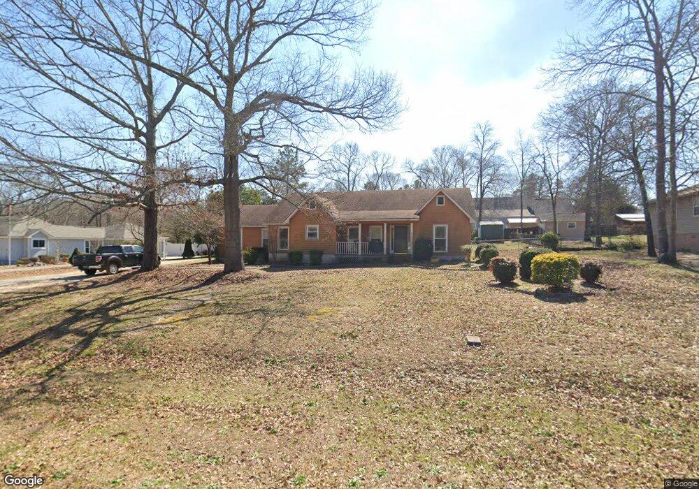
133 Wellston Cir Warner Robins, GA 31093
Estimated Value: $274,270 - $289,000
3
Beds
3
Baths
1,976
Sq Ft
$143/Sq Ft
Est. Value
About This Home
This home is located at 133 Wellston Cir, Warner Robins, GA 31093 and is currently estimated at $281,818, approximately $142 per square foot. 133 Wellston Cir is a home located in Houston County with nearby schools including Northside Elementary School, Thomson Middle School, and Northside High School.
Ownership History
Date
Name
Owned For
Owner Type
Purchase Details
Closed on
May 20, 2022
Sold by
Patton Ramona C
Bought by
Archibald Melissa
Current Estimated Value
Purchase Details
Closed on
Sep 15, 2003
Sold by
Cendant Mobility Financial Cor
Bought by
Patton Chris A and Patton Ramona C
Purchase Details
Closed on
Aug 27, 1998
Sold by
O'conner Thomas Michael
Bought by
O'conner Thomas M and Ryan Mary Ann
Purchase Details
Closed on
Aug 26, 1998
Sold by
Kernblum Stephen L and Kernblum Jody L
Bought by
O'conner Thomas Michael
Purchase Details
Closed on
May 10, 1990
Sold by
Hunter Robert Clay
Bought by
Kernblum Stephen L and Kernblum Jody L
Purchase Details
Closed on
Dec 15, 1989
Sold by
Joyner Truck Sales Inc
Bought by
Hunter Robert Clay
Create a Home Valuation Report for This Property
The Home Valuation Report is an in-depth analysis detailing your home's value as well as a comparison with similar homes in the area
Home Values in the Area
Average Home Value in this Area
Purchase History
We collect this data history from publicly available records. To have your information removed, we recommend requesting removal directly through your county’s website.
| Date | Buyer | Sale Price | Title Company |
|---|---|---|---|
| Archibald Melissa | $106,000 | None Listed On Document | |
| Patton Chris A | $136,000 | -- | |
| Cendant Mobility Financial Corp | $136,000 | -- | |
| O'conner Thomas M | -- | -- | |
| O'conner Thomas Michael | $105,000 | -- | |
| Kernblum Stephen L | -- | -- | |
| Hunter Robert Clay | -- | -- |
Source: Public Records
Tax History
| Year | Tax Paid | Tax Assessment Tax Assessment Total Assessment is a certain percentage of the fair market value that is determined by local assessors to be the total taxable value of land and additions on the property. | Land | Improvement |
|---|---|---|---|---|
| 2025 | $1,804 | $86,120 | $8,400 | $77,720 |
| 2024 | $1,981 | $82,800 | $8,400 | $74,400 |
| 2023 | $1,024 | $67,600 | $8,400 | $59,200 |
| 2022 | $1,421 | $60,800 | $8,400 | $52,400 |
| 2021 | $1,300 | $55,520 | $7,600 | $47,920 |
| 2020 | $1,305 | $55,480 | $7,600 | $47,880 |
| 2019 | $1,305 | $55,480 | $7,600 | $47,880 |
| 2018 | $1,305 | $55,480 | $7,600 | $47,880 |
| 2017 | $1,307 | $55,480 | $7,600 | $47,880 |
| 2016 | $1,309 | $55,480 | $7,600 | $47,880 |
| 2015 | $1,311 | $55,480 | $7,600 | $47,880 |
| 2014 | -- | $55,480 | $7,600 | $47,880 |
| 2013 | -- | $55,480 | $7,600 | $47,880 |
Source: Public Records
Map
Nearby Homes
- 218 Silver Cir
- 106 John Ct
- 120 Esterine Dr
- 103 Brookshire Way
- 116 Majestic Trail
- 211 Lowpoint Trail
- 304 Air View Dr
- 312 Air View Dr Unit 7
- 310 Air View Dr Unit 6
- 304 Air View Dr Unit 3
- 312 Air View Dr
- 310 Air View Dr
- 322 Air View Dr
- 324 Air View Dr Unit 13
- 308 Air View Dr Unit 5
- 308 Air View Dr
- 322 Air View Dr Unit 12
- 99 Bermuda Dr
- 7535 Houston Rd
- 137 Red Birch Ln
- 103 Wellston Cir
- 135 Wellston Cir
- 131 Wellston Cir
- 105 Wellston Cir
- 136 Wellston Cir
- 134 Wellston Cir
- 107 Wellston Cir
- 129 Wellston Cir
- 137 Wellston Cir
- 132 Wellston Cir
- 138 Wellston Cir
- 101 Wellston Cir
- 109 Wellston Cir
- 100 Wellston Cir
- 140 Wellston Cir
- 127 Wellston Cir
- 1750 N Houston Lake Blvd
- 128 Wellston Cir
- 111 Wellston Cir
- 108 Wellston Cir
Your Personal Tour Guide
Ask me questions while you tour the home.