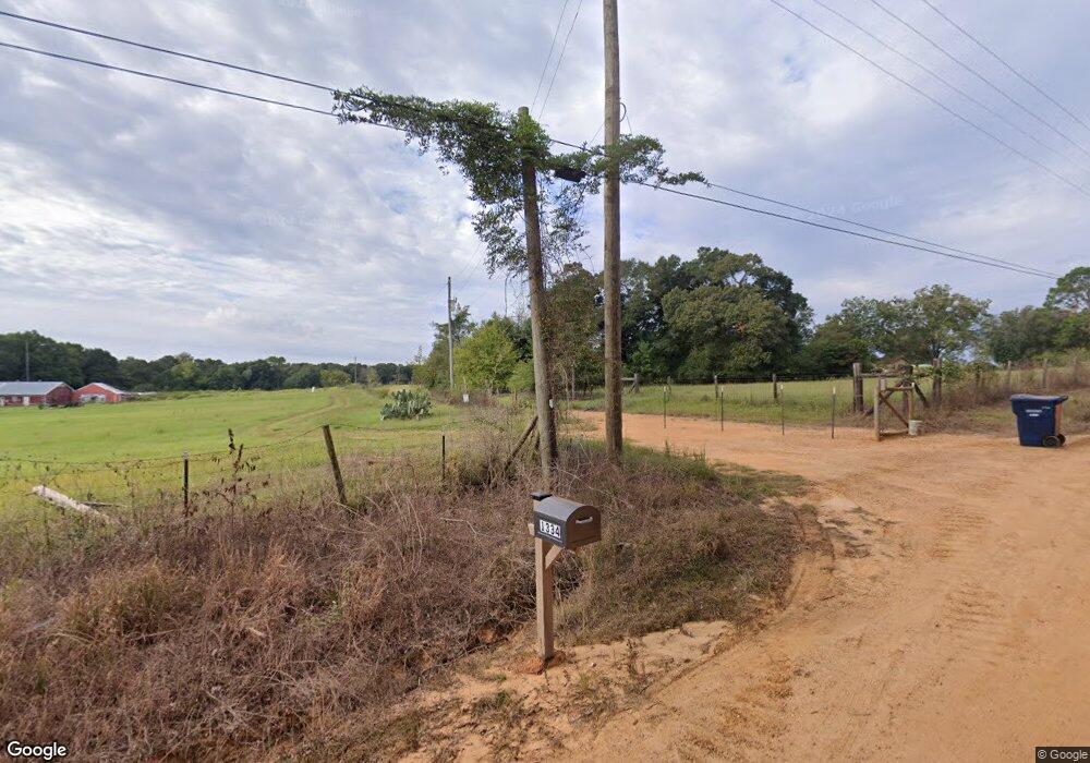
1334 Corbin Rd Newton, AL 36352
Estimated Value: $178,000 - $314,000
4
Beds
3
Baths
2,240
Sq Ft
$105/Sq Ft
Est. Value
About This Home
This home is located at 1334 Corbin Rd, Newton, AL 36352 and is currently estimated at $234,434, approximately $104 per square foot. 1334 Corbin Rd is a home located in Geneva County.
Ownership History
Date
Name
Owned For
Owner Type
Purchase Details
Closed on
Sep 29, 2025
Sold by
Wh Cash Offers Al Llc
Bought by
White Derrick
Current Estimated Value
Home Financials for this Owner
Home Financials are based on the most recent Mortgage that was taken out on this home.
Original Mortgage
$169,866
Outstanding Balance
$169,866
Interest Rate
6.58%
Mortgage Type
FHA
Estimated Equity
$64,568
Purchase Details
Closed on
Feb 7, 2023
Sold by
Williams Geoffrey
Bought by
Wh Cash Offers Al Llc
Purchase Details
Closed on
Apr 7, 2017
Sold by
Ma Kon Lor Chong and Ma Yung Lor
Bought by
Williams Geoffrey
Purchase Details
Closed on
Apr 1, 2017
Sold by
Lor Ma Yang and Lor Chong Kon
Bought by
Williams Geoffrey
Create a Home Valuation Report for This Property
The Home Valuation Report is an in-depth analysis detailing your home's value as well as a comparison with similar homes in the area
Purchase History
| Date | Buyer | Sale Price | Title Company |
|---|---|---|---|
| White Derrick | $173,000 | None Listed On Document | |
| Wh Cash Offers Al Llc | $133,154 | -- | |
| Williams Geoffrey | $125,000 | None Available | |
| Williams Geoffrey | -- | -- |
Source: Public Records
Mortgage History
| Date | Status | Borrower | Loan Amount |
|---|---|---|---|
| Open | White Derrick | $169,866 | |
| Previous Owner | Williams Geoffrey | $172,810 |
Source: Public Records
Tax History
| Year | Tax Paid | Tax Assessment Tax Assessment Total Assessment is a certain percentage of the fair market value that is determined by local assessors to be the total taxable value of land and additions on the property. | Land | Improvement |
|---|---|---|---|---|
| 2025 | $1,280 | $40,640 | $9,180 | $31,460 |
| 2024 | $1,280 | $37,280 | $8,420 | $28,860 |
| 2023 | $1,197 | $32,920 | $8,180 | $24,740 |
| 2022 | $1,030 | $32,080 | $6,540 | $25,540 |
| 2021 | $920 | $28,660 | $6,540 | $22,120 |
| 2020 | $837 | $26,060 | $5,940 | $20,120 |
| 2019 | $839 | $26,140 | $6,800 | $19,340 |
| 2018 | $860 | $26,780 | $6,700 | $20,080 |
| 2017 | $767 | $25,620 | $940 | $24,680 |
| 2016 | $833 | $27,660 | $920 | $26,740 |
| 2015 | $844 | $28,020 | $940 | $27,080 |
| 2014 | $810 | $26,960 | $920 | $26,040 |
| 2013 | $810 | $26,960 | $920 | $26,040 |
Source: Public Records
Map
Nearby Homes
- 7110 Judge Logue Rd
- 5320 Judge Logue Rd
- 5150 Judge Logue Rd
- 5136 Judge Logue Rd
- 21.5+/- Acres Windmill Rd
- 21.5 acres Windmill Rd
- 8622 Judge Logue Rd
- 295 Adkinson Rd
- 270 Adkinson Rd
- 273 Adkinson Rd
- 251 Adkinson Rd
- 229 Adkinson Rd
- 207 Adkinson Rd
- 19.358 Acres T Peacock Rd
- 185 Adkinson Rd
- 1381 N State Highway 103
- 163 Adkinson Rd
- Lot 1 Hill Top Rd
- Lot 2 Hill Top Rd
- 920 Windmill Rd
- 1676 Corbin Rd
- 1667 Corbin Rd
- 0 Corbin Rd
- 2ac Corbin Rd
- 1698 Corbin Rd
- 1182 Corbin Rd
- 1822 Corbin Rd
- 1676 Corbin Rd
- 1835 Corbin Rd
- 1911 Corbin Rd
- 1822 Corbin Rd
- 1955 Corbin Rd
- 746 Corbin Rd
- 800 Corbin Rd
- 7289 N State Highway 123
- 2015 Adkinson Rd
- 2145 Adkinson Rd
- 2204 Corbin Rd
- 6947 Alabama 123
- 6947 N State Highway 123
Your Personal Tour Guide
Ask me questions while you tour the home.