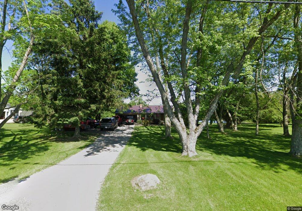
13349 Unity Rd New Springfield, OH 44443
Estimated Value: $223,656 - $263,000
3
Beds
2
Baths
1,264
Sq Ft
$195/Sq Ft
Est. Value
About This Home
This home is located at 13349 Unity Rd, New Springfield, OH 44443 and is currently estimated at $246,664, approximately $195 per square foot. 13349 Unity Rd is a home located in Mahoning County with nearby schools including Springfield Elementary School, Springfield Intermediate Middle School, and Springfield High School.
Ownership History
Date
Name
Owned For
Owner Type
Purchase Details
Closed on
Dec 26, 2014
Sold by
Karelin Tiffany I
Bought by
Karelin Gregory W
Current Estimated Value
Home Financials for this Owner
Home Financials are based on the most recent Mortgage that was taken out on this home.
Original Mortgage
$106,589
Outstanding Balance
$83,173
Interest Rate
4.75%
Mortgage Type
FHA
Estimated Equity
$163,491
Purchase Details
Closed on
Apr 12, 2002
Sold by
Sullivan John P and Sullivan Kimberly A
Bought by
Karelin Gregory W and Karelin Tiffany I
Home Financials for this Owner
Home Financials are based on the most recent Mortgage that was taken out on this home.
Original Mortgage
$134,537
Interest Rate
6.93%
Mortgage Type
FHA
Purchase Details
Closed on
Sep 29, 1992
Bought by
Sullivan Kimberly A
Create a Home Valuation Report for This Property
The Home Valuation Report is an in-depth analysis detailing your home's value as well as a comparison with similar homes in the area
Purchase History
| Date | Buyer | Sale Price | Title Company |
|---|---|---|---|
| Karelin Gregory W | -- | None Available | |
| Karelin Gregory W | $135,600 | -- | |
| Sullivan Kimberly A | $74,000 | -- |
Source: Public Records
Mortgage History
| Date | Status | Borrower | Loan Amount |
|---|---|---|---|
| Open | Karelin Gregory W | $106,589 | |
| Closed | Karelin Gregory W | $134,537 |
Source: Public Records
Tax History
| Year | Tax Paid | Tax Assessment Tax Assessment Total Assessment is a certain percentage of the fair market value that is determined by local assessors to be the total taxable value of land and additions on the property. | Land | Improvement |
|---|---|---|---|---|
| 2025 | $2,413 | $55,030 | $6,380 | $48,650 |
| 2024 | $2,220 | $55,030 | $6,380 | $48,650 |
| 2023 | $2,233 | $55,030 | $6,380 | $48,650 |
| 2022 | $1,950 | $44,110 | $6,380 | $37,730 |
| 2021 | $1,965 | $44,110 | $6,380 | $37,730 |
| 2020 | $1,976 | $44,110 | $6,380 | $37,730 |
| 2019 | $1,833 | $39,470 | $6,380 | $33,090 |
| 2018 | $1,810 | $39,470 | $6,380 | $33,090 |
| 2017 | $1,807 | $39,470 | $6,380 | $33,090 |
| 2016 | $1,816 | $39,210 | $5,000 | $34,210 |
| 2015 | $1,767 | $39,210 | $5,000 | $34,210 |
| 2014 | $1,775 | $39,210 | $5,000 | $34,210 |
| 2013 | $1,758 | $39,210 | $5,000 | $34,210 |
Source: Public Records
Map
Nearby Homes
- 13885 Beard Rd
- 0 Columbiana Rd
- 14121 Russell Dr
- 1784 Columbiana Rd
- 11525 Rapp Rd
- 10725 Struthers Rd
- 5589 Middletown Rd E
- 9663 Youngstown - Pittsburgh Rd
- 170 Sandy Ct Unit 11
- 170 Sandy Ct Unit 7
- 76 Stacy Dr
- 12948 S State Line Rd
- 12 Sandy Dr
- 10105 Carrie Ct
- 10115 Carrie Ct
- 46 Ohlin Dr
- 4035 Shelly Lynn Dr
- 4025 Shelly Lynn Dr
- 56 Jeffrey Ln
- 4957 E Calla Rd
- 13315 Unity Rd
- 13382 Unity Rd
- 13410 Unity Rd
- 13249 Unity Rd
- 13464 Unity Rd
- 13471 Unity Rd
- 13205 Unity Rd
- 13513 Unity Rd
- 13169 Unity Rd
- 13541 Unity Rd
- 13101 Unity Rd
- 13075 Unity Rd
- 13134 Unity Rd
- 13055 Unity Rd
- 4271 E Pine Lake Rd
- 4075 E Pine Lake Rd
- 13025 Unity Rd
- 4103 E Pine Lake Rd
- 4131 E Pine Lake Rd
- 4165 E Pine Lake Rd
Your Personal Tour Guide
Ask me questions while you tour the home.