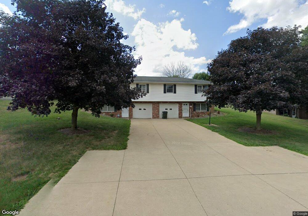
1335 Frank Dr Wooster, OH 44691
Estimated Value: $237,000 - $371,000
4
Beds
4
Baths
1,800
Sq Ft
$157/Sq Ft
Est. Value
About This Home
This home is located at 1335 Frank Dr, Wooster, OH 44691 and is currently estimated at $282,400, approximately $156 per square foot. 1335 Frank Dr is a home located in Wayne County with nearby schools including Triway High School, St Mary Of Immaculate Conception School, and Montessori School of Wooster.
Ownership History
Date
Name
Owned For
Owner Type
Purchase Details
Closed on
Aug 31, 2007
Sold by
Assante Judy Gallo and Assante Leonard V
Bought by
Hughes Josiah P
Current Estimated Value
Home Financials for this Owner
Home Financials are based on the most recent Mortgage that was taken out on this home.
Original Mortgage
$112,000
Outstanding Balance
$69,482
Interest Rate
6.72%
Mortgage Type
New Conventional
Estimated Equity
$212,918
Purchase Details
Closed on
Sep 30, 2002
Sold by
Gallo Donald P
Bought by
Assante Judy G
Purchase Details
Closed on
Jul 6, 1992
Bought by
Gallo Donald Paul and Gallo Judy
Create a Home Valuation Report for This Property
The Home Valuation Report is an in-depth analysis detailing your home's value as well as a comparison with similar homes in the area
Home Values in the Area
Average Home Value in this Area
Purchase History
| Date | Buyer | Sale Price | Title Company |
|---|---|---|---|
| Hughes Josiah P | $140,000 | Landsel Title Agency Inc | |
| Assante Judy G | $75,000 | -- | |
| Gallo Donald Paul | -- | -- |
Source: Public Records
Mortgage History
| Date | Status | Borrower | Loan Amount |
|---|---|---|---|
| Open | Hughes Josiah P | $112,000 | |
| Closed | Assante Judy G | -- |
Source: Public Records
Tax History
| Year | Tax Paid | Tax Assessment Tax Assessment Total Assessment is a certain percentage of the fair market value that is determined by local assessors to be the total taxable value of land and additions on the property. | Land | Improvement |
|---|---|---|---|---|
| 2025 | $2,828 | $75,950 | $13,780 | $62,170 |
| 2024 | $2,828 | $75,950 | $13,780 | $62,170 |
| 2023 | $2,848 | $75,950 | $13,780 | $62,170 |
| 2022 | $2,521 | $60,770 | $11,030 | $49,740 |
| 2021 | $2,358 | $60,770 | $11,030 | $49,740 |
| 2020 | $2,386 | $60,770 | $11,030 | $49,740 |
| 2019 | $2,063 | $50,640 | $8,290 | $42,350 |
| 2018 | $2,100 | $50,640 | $8,290 | $42,350 |
| 2017 | $2,040 | $50,640 | $8,290 | $42,350 |
| 2016 | $2,033 | $48,620 | $8,290 | $40,330 |
| 2015 | $1,988 | $48,620 | $8,290 | $40,330 |
| 2014 | $1,989 | $48,620 | $8,290 | $40,330 |
| 2013 | $1,880 | $44,100 | $8,880 | $35,220 |
Source: Public Records
Map
Nearby Homes
- 1330 Columbus Rd
- 0 Heyl Rd
- 1350 Blachleyville Rd
- 5 E Melrose Unit 5
- 219 Mulberry St
- 2508 Prairie Ln
- 227 N Walnut St
- 323 N Grant St
- 2585 Greenbriar Ln
- 223 E Larwill St
- 4859 Prosperity Way
- 423 N Market St
- 2430 S Columbus Rd
- 419 Nold Ave
- 331 Derr Ave
- 2535 Millersburg Rd
- 753 N Grant St
- 851 Park Blvd
- 708 N Bever St
- 1026 Douglas Dr
Your Personal Tour Guide
Ask me questions while you tour the home.