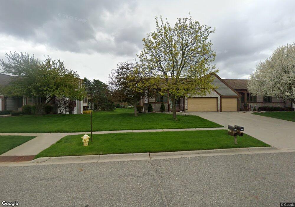
1339 Brookside Dr Unit 134 Lansing, MI 48917
Estimated Value: $293,000 - $327,000
3
Beds
3
Baths
1,423
Sq Ft
$216/Sq Ft
Est. Value
About This Home
This home is located at 1339 Brookside Dr Unit 134, Lansing, MI 48917 and is currently estimated at $308,042, approximately $216 per square foot. 1339 Brookside Dr Unit 134 is a home located in Eaton County with nearby schools including Willow Ridge Elementary School, Leon W. Hayes Middle School, and Grand Ledge High School.
Ownership History
Date
Name
Owned For
Owner Type
Purchase Details
Closed on
Oct 12, 2006
Sold by
Kania Frank E and Kania Sharon
Bought by
Devlin Christopher W and Devlin Robyn K
Current Estimated Value
Home Financials for this Owner
Home Financials are based on the most recent Mortgage that was taken out on this home.
Original Mortgage
$236,000
Interest Rate
6.5%
Mortgage Type
Purchase Money Mortgage
Create a Home Valuation Report for This Property
The Home Valuation Report is an in-depth analysis detailing your home's value as well as a comparison with similar homes in the area
Home Values in the Area
Average Home Value in this Area
Purchase History
| Date | Buyer | Sale Price | Title Company |
|---|---|---|---|
| Devlin Christopher W | $197,000 | None Available |
Source: Public Records
Mortgage History
| Date | Status | Borrower | Loan Amount |
|---|---|---|---|
| Closed | Devlin Christopher W | $236,000 |
Source: Public Records
Tax History
| Year | Tax Paid | Tax Assessment Tax Assessment Total Assessment is a certain percentage of the fair market value that is determined by local assessors to be the total taxable value of land and additions on the property. | Land | Improvement |
|---|---|---|---|---|
| 2025 | $3,264 | $137,400 | $0 | $0 |
| 2024 | $1,653 | $125,500 | $0 | $0 |
| 2023 | $1,540 | $117,300 | $0 | $0 |
| 2022 | $2,753 | $111,200 | $0 | $0 |
| 2021 | $2,628 | $103,400 | $0 | $0 |
| 2020 | $2,592 | $99,300 | $0 | $0 |
| 2019 | $2,552 | $92,266 | $0 | $0 |
| 2018 | $2,394 | $84,800 | $0 | $0 |
| 2017 | $2,340 | $79,000 | $0 | $0 |
| 2016 | -- | $73,800 | $0 | $0 |
| 2015 | -- | $72,600 | $0 | $0 |
| 2014 | -- | $63,093 | $0 | $0 |
| 2013 | -- | $62,100 | $0 | $0 |
Source: Public Records
Map
Nearby Homes
- 6542 Brook Trail
- 1026 Brookside Dr
- 1205 Woodmeadow Unit 201
- 6528 Brook Trail Unit 21
- 6527 Brook Trail Unit 18
- 6525 Brook Trail Unit 17
- 1527 Lindy Dr
- 1156 Wolf Run Dr
- 1106 S Ridge Rd
- 7234 Farm Hill Dr Unit 36
- 1738 Willow Creek Dr Unit 63
- 6142 W Saginaw Hwy
- 6403 Willow Bend Dr
- 6102 Bradford Ln
- 0 Lot B Willow
- 1510 Sand Point Dr
- 2120 Walmar Dr
- 7315 Chellmar Dr Unit 49
- 0 Lot C Willow
- 7225 Creekside Dr Unit 37
- 1341 Brookside Dr Unit 135
- 1341 Brookside Dr
- 1343 Brookside Dr
- 1325 Brookside Dr Unit 97
- 1325 Brookside Dr
- 1323 Brookside Dr
- 1136 Rolling Green Ln
- 1136 Rolling Green Ln Unit 133
- 1319 Brookside Dr
- 1319 Brookside Dr Unit 94
- 1134 Rolling Green Ln
- 1129 Summergreen Ln Unit 104
- 1342 Brookside Dr Unit 138
- 1127 Summergreen Ln
- 1340 Brookside Dr
- 1340 Brookside Dr Unit 137
- 1125 Summergreen Ln Unit 106
- 1344 Brookside Dr
- 1132 Rolling Green Ln Unit 131
Your Personal Tour Guide
Ask me questions while you tour the home.