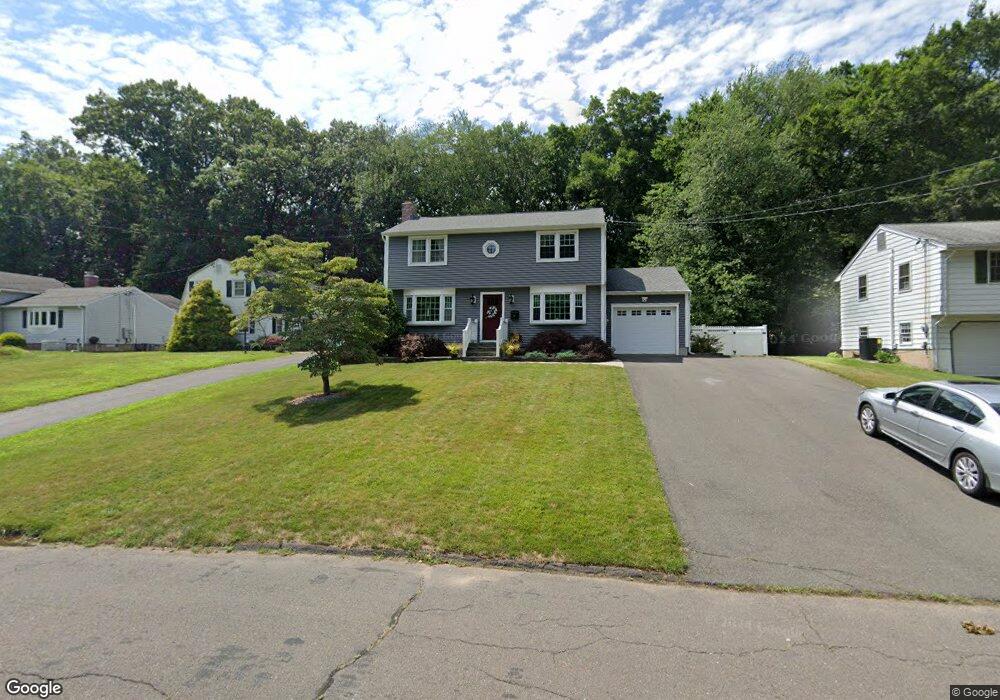
134 Brookside Rd Newington, CT 06111
Estimated Value: $378,686 - $433,000
3
Beds
2
Baths
1,607
Sq Ft
$256/Sq Ft
Est. Value
About This Home
This home is located at 134 Brookside Rd, Newington, CT 06111 and is currently estimated at $411,422, approximately $256 per square foot. 134 Brookside Rd is a home located in Hartford County with nearby schools including Elizabeth Green School, Martin Kellogg Middle School, and Newington High School.
Ownership History
Date
Name
Owned For
Owner Type
Purchase Details
Closed on
Oct 13, 2000
Sold by
Pietkerwitz Veronica
Bought by
Abrahams Frederick R and Abrahams Jamella L
Current Estimated Value
Create a Home Valuation Report for This Property
The Home Valuation Report is an in-depth analysis detailing your home's value as well as a comparison with similar homes in the area
Home Values in the Area
Average Home Value in this Area
Purchase History
| Date | Buyer | Sale Price | Title Company |
|---|---|---|---|
| Abrahams Frederick R | $160,000 | -- |
Source: Public Records
Mortgage History
| Date | Status | Borrower | Loan Amount |
|---|---|---|---|
| Open | Abrahams Frederick R | $185,800 | |
| Closed | Abrahams Frederick R | $20,000 | |
| Closed | Abrahams Frederick R | $22,000 | |
| Closed | Abrahams Frederick R | $160,000 |
Source: Public Records
Tax History
| Year | Tax Paid | Tax Assessment Tax Assessment Total Assessment is a certain percentage of the fair market value that is determined by local assessors to be the total taxable value of land and additions on the property. | Land | Improvement |
|---|---|---|---|---|
| 2025 | $6,447 | $161,260 | $56,000 | $105,260 |
| 2024 | $6,397 | $161,260 | $56,000 | $105,260 |
| 2023 | $6,186 | $161,260 | $56,000 | $105,260 |
| 2022 | $6,207 | $161,260 | $56,000 | $105,260 |
| 2021 | $6,259 | $161,260 | $56,000 | $105,260 |
| 2020 | $6,443 | $164,030 | $52,500 | $111,530 |
| 2019 | $6,471 | $164,030 | $52,500 | $111,530 |
| 2018 | $6,315 | $164,030 | $52,500 | $111,530 |
| 2017 | $6,002 | $164,030 | $52,500 | $111,530 |
| 2016 | $5,864 | $164,030 | $52,500 | $111,530 |
| 2014 | $5,694 | $163,770 | $52,530 | $111,240 |
Source: Public Records
Map
Nearby Homes
- 76 Main St
- 138 Williamstown Ct Unit 138
- 134 Williamstown Ct Unit 134
- 32 Garvan St
- 46 Piper Brook Ave
- 149 Moylan Ct
- 79 Piper Brook Ave
- 161 Abbotsford Ave
- 43 Marion St
- 24 Millbrook Ct Unit 24 Millbrook Ct Newi
- 50 Hillcrest Ave
- 104 Hollywood Ave
- 14 Coolidge Ave
- 22 Stafford St
- 140 Camp Ave
- 25 Lewis Ln
- 27 Burgoyne St Unit E
- 5 Brinley Ave
- 14 Brinley Way
- 203 Brentwood Rd
- 128 Brookside Rd
- 140 Brookside Rd
- 146 Brookside Rd
- 124 Brookside Rd
- 152 Brookside Rd
- 118 Brookside Rd
- 112 Brookside Rd
- 135 Brookside Rd
- 158 Brookside Rd
- 147 Brookside Rd
- 129 Brookside Rd
- 77 Brace Rd
- 153 Brookside Rd
- 123 Brookside Rd
- 141 Brookside Rd
- 81 Brace Rd
- 106 Brookside Rd
- 115 Brookside Rd
- 65 Brace Rd
- 109 Brookside Rd
Your Personal Tour Guide
Ask me questions while you tour the home.