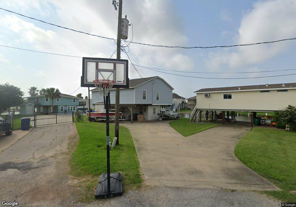
134 Crows Nest Rd Freeport, TX 77541
Estimated Value: $293,419 - $447,000
Studio
1
Bath
1,646
Sq Ft
$228/Sq Ft
Est. Value
About This Home
This home is located at 134 Crows Nest Rd, Freeport, TX 77541 and is currently estimated at $376,105, approximately $228 per square foot. 134 Crows Nest Rd is a home located in Brazoria County with nearby schools including Velasco Elementary School, O'Hara Lanier Middle School, and Freeport Intermediate School.
Ownership History
Date
Name
Owned For
Owner Type
Purchase Details
Closed on
Jan 30, 2012
Sold by
Counts Perla
Bought by
Counts Scott
Current Estimated Value
Purchase Details
Closed on
Nov 17, 2003
Sold by
Counts Scot H and Counts Scot Hansford
Bought by
Counts Perla M
Home Financials for this Owner
Home Financials are based on the most recent Mortgage that was taken out on this home.
Original Mortgage
$70,000
Interest Rate
6.06%
Mortgage Type
Credit Line Revolving
Purchase Details
Closed on
Aug 25, 1995
Sold by
Rust Jerry and Rust Mary Ann
Bought by
Counts Scot H
Home Financials for this Owner
Home Financials are based on the most recent Mortgage that was taken out on this home.
Original Mortgage
$33,250
Interest Rate
7.39%
Create a Home Valuation Report for This Property
The Home Valuation Report is an in-depth analysis detailing your home's value as well as a comparison with similar homes in the area
Purchase History
| Date | Buyer | Sale Price | Title Company |
|---|---|---|---|
| Counts Scott | -- | None Available | |
| Counts Perla M | -- | Alamo Title Company | |
| Counts Scot H | -- | -- |
Source: Public Records
Mortgage History
| Date | Status | Borrower | Loan Amount |
|---|---|---|---|
| Closed | Counts Perla M | $70,000 | |
| Closed | Counts Scot H | $33,250 |
Source: Public Records
Tax History
| Year | Tax Paid | Tax Assessment Tax Assessment Total Assessment is a certain percentage of the fair market value that is determined by local assessors to be the total taxable value of land and additions on the property. | Land | Improvement |
|---|---|---|---|---|
| 2025 | $5,152 | $285,190 | $87,470 | $197,720 |
| 2023 | $5,152 | $278,460 | $83,090 | $195,370 |
| 2022 | $5,833 | $233,400 | $83,090 | $150,310 |
| 2021 | $4,305 | $196,440 | $55,070 | $141,370 |
| 2020 | $4,376 | $196,440 | $55,070 | $141,370 |
| 2019 | $4,370 | $188,850 | $46,600 | $142,250 |
| 2018 | $3,589 | $154,160 | $44,590 | $109,570 |
| 2017 | $3,600 | $154,160 | $44,590 | $109,570 |
| 2016 | $3,940 | $172,790 | $44,590 | $128,200 |
| 2014 | $2,966 | $139,440 | $34,300 | $105,140 |
Source: Public Records
Map
Nearby Homes
- 119 Crows Nest Rd
- 126 Driftwood Rd
- 122 Driftwood Rd
- 1571 Blue Water Dr
- 110 Mariner Rd
- 106 Jolly Boat Ln
- 122 Four Master Rd
- 114 Four Master Rd
- 154 Poop Deck Ln
- 1503 Blue Water Dr
- 123 Four Master Rd
- 107 Admiral Ln
- 108 Treasure Ln
- 0 Cr 690a
- 1682 Blue Water Dr
- 411 Galley Way
- TBD Marine Way
- 310 Marine Way
- 235 Leeward Way
- 1738 Duncan Dr
- 130 Crows Nest Rd
- 135 Crows Nest Rd
- 127 Crows Nest Rd
- 126 Crows Nest Rd
- 1551 Blue Water Dr
- 1557 Blue Water Dr
- 1555 Blue Water Dr
- 0 Crows Nest Rd Unit 85648117
- 0 Crows Nest Rd Unit 51652027
- 123 Crows Nest Rd
- 1559 Blue Water Dr
- 1563 Blue Water Dr
- 138 Driftwood Rd
- 1539 Blue Water Dr
- 130 Driftwood Rd
- 118 Crows Nest Rd
- 142 Driftwood Rd
- 142 Driftwood Rd
- 122 Crows Nest Rd
- 1537 Blue Water Dr
Your Personal Tour Guide
Ask me questions while you tour the home.