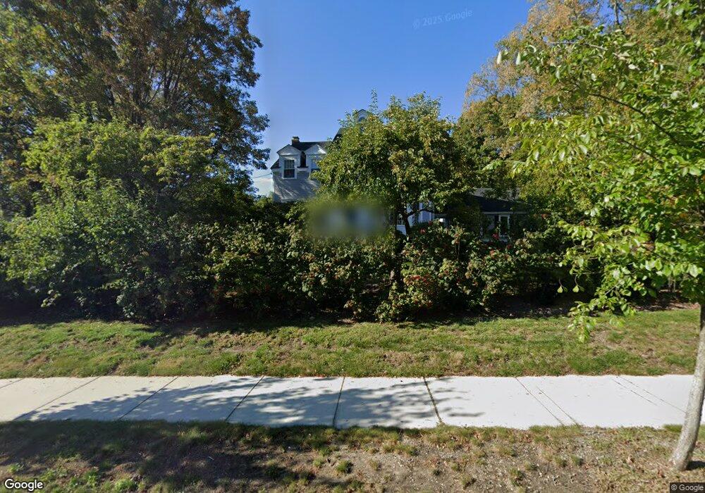
134 Main St Medway, MA 02053
Estimated Value: $755,724 - $1,013,000
3
Beds
4
Baths
2,286
Sq Ft
$377/Sq Ft
Est. Value
About This Home
This home is located at 134 Main St, Medway, MA 02053 and is currently estimated at $861,181, approximately $376 per square foot. 134 Main St is a home located in Norfolk County with nearby schools including John D. McGovern Elementary School, Burke-Memorial Elementary, and Medway Middle School.
Ownership History
Date
Name
Owned For
Owner Type
Purchase Details
Closed on
Sep 21, 1987
Sold by
Petrozzi Tr Louis
Bought by
Ghiz Richard E
Current Estimated Value
Home Financials for this Owner
Home Financials are based on the most recent Mortgage that was taken out on this home.
Original Mortgage
$219,000
Interest Rate
10.35%
Mortgage Type
Purchase Money Mortgage
Create a Home Valuation Report for This Property
The Home Valuation Report is an in-depth analysis detailing your home's value as well as a comparison with similar homes in the area
Home Values in the Area
Average Home Value in this Area
Purchase History
| Date | Buyer | Sale Price | Title Company |
|---|---|---|---|
| Ghiz Richard E | $294,900 | -- |
Source: Public Records
Mortgage History
| Date | Status | Borrower | Loan Amount |
|---|---|---|---|
| Closed | Ghiz Richard E | $219,000 |
Source: Public Records
Tax History
| Year | Tax Paid | Tax Assessment Tax Assessment Total Assessment is a certain percentage of the fair market value that is determined by local assessors to be the total taxable value of land and additions on the property. | Land | Improvement |
|---|---|---|---|---|
| 2025 | $9,681 | $679,400 | $261,300 | $418,100 |
| 2024 | $9,783 | $679,400 | $261,300 | $418,100 |
| 2023 | $9,494 | $595,600 | $228,100 | $367,500 |
| 2022 | $9,312 | $550,000 | $192,800 | $357,200 |
| 2021 | $9,116 | $522,100 | $174,200 | $347,900 |
| 2020 | $8,265 | $472,300 | $153,400 | $318,900 |
| 2019 | $7,835 | $461,700 | $145,100 | $316,600 |
| 2018 | $7,700 | $436,000 | $124,400 | $311,600 |
| 2017 | $7,541 | $420,800 | $124,400 | $296,400 |
| 2016 | $7,246 | $400,100 | $103,700 | $296,400 |
| 2015 | $7,210 | $395,300 | $103,700 | $291,600 |
| 2014 | $7,024 | $372,800 | $113,100 | $259,700 |
Source: Public Records
Map
Nearby Homes
- 8 Gable Way
- 176 Main St Unit 3
- 280 Village St Unit F1
- 253 Village St
- 22 Milford St
- 236 Village St
- 1391 Pond St
- 19 Sahlin Cir
- 50 Main St
- 6 Freedom Trail
- 33 Gorwin Dr
- 25 Howe St
- 23 Howe St
- 84 Winthrop St
- 2 Kingson Ln Unit 2
- 32 Ohlson Cir
- 394 Village St
- 20 Broad St Unit 1
- 20 Broad St Unit 6
- 20 Broad St Unit A
- 132 Main St
- 136 Main St
- 3 Drybridge Rd
- 5 Drybridge Rd
- 127 Main St
- 127 Main St Unit 127
- 127A Main St
- 129 Main St
- 1A Drybridge Rd
- 131 Main St Unit 3
- 131 Main St Unit 2
- 1 Drybridge Rd
- 7 Drybridge Rd
- 138 Main St
- 2 Drybridge Rd
- 2 Drybridge Rd Unit 2
- 2 Drybridge Rd Unit 1
- 6 Drybridge Rd
- 4 Drybridge Rd
- 133 Main St
Your Personal Tour Guide
Ask me questions while you tour the home.