134 Pheasant Ln Eastsound, WA 98245
Estimated Value: $1,140,000 - $1,662,000
3
Beds
3
Baths
2,600
Sq Ft
$522/Sq Ft
Est. Value
About This Home
This home is located at 134 Pheasant Ln, Eastsound, WA 98245 and is currently estimated at $1,357,199, approximately $521 per square foot. 134 Pheasant Ln is a home with nearby schools including Orcas Island Elementary School, Orcas Island Middle School, and Orcas Island High School.
Ownership History
Date
Name
Owned For
Owner Type
Purchase Details
Closed on
Jun 11, 2010
Sold by
Johnson Stephen M and Johnson Molly
Bought by
Johnson Stephen M and Johnson Molly
Current Estimated Value
Purchase Details
Closed on
Apr 3, 2009
Sold by
Johnson Stephen M and Johnson Molly
Bought by
Johnson Stephen M and Johnson Molly
Purchase Details
Closed on
Jul 14, 2005
Sold by
Johnson Stephen and Johnson Molly
Bought by
Johnson Stephen and Johnson Molly
Home Financials for this Owner
Home Financials are based on the most recent Mortgage that was taken out on this home.
Original Mortgage
$520,000
Interest Rate
5.51%
Mortgage Type
Construction
Create a Home Valuation Report for This Property
The Home Valuation Report is an in-depth analysis detailing your home's value as well as a comparison with similar homes in the area
Purchase History
| Date | Buyer | Sale Price | Title Company |
|---|---|---|---|
| Johnson Stephen M | -- | San Juan Title | |
| Johnson Stephen M | -- | None Available | |
| Johnson Stephen | -- | Chicago Title Insurance C |
Source: Public Records
Mortgage History
| Date | Status | Borrower | Loan Amount |
|---|---|---|---|
| Closed | Johnson Stephen | $520,000 |
Source: Public Records
Tax History
| Year | Tax Paid | Tax Assessment Tax Assessment Total Assessment is a certain percentage of the fair market value that is determined by local assessors to be the total taxable value of land and additions on the property. | Land | Improvement |
|---|---|---|---|---|
| 2025 | $6,920 | $1,183,870 | $269,120 | $914,750 |
| 2024 | $6,276 | $1,181,190 | $255,370 | $925,820 |
| 2023 | $6,276 | $1,158,050 | $255,370 | $902,680 |
| 2022 | $5,961 | $1,067,010 | $196,440 | $870,570 |
| 2021 | $6,321 | $799,140 | $196,440 | $602,700 |
| 2020 | $8,790 | $814,040 | $163,700 | $650,340 |
| 2019 | $6,859 | $1,108,780 | $150,670 | $958,110 |
| 2018 | $6,519 | $1,588,780 | $857,170 | $731,610 |
| 2017 | $4,803 | $816,260 | $125,560 | $690,700 |
| 2016 | $4,597 | $661,750 | $131,840 | $529,910 |
| 2015 | $4,597 | $685,060 | $131,840 | $553,220 |
| 2014 | $4,597 | $649,060 | $138,780 | $510,280 |
| 2012 | $4,597 | $610,150 | $129,700 | $480,450 |
Source: Public Records
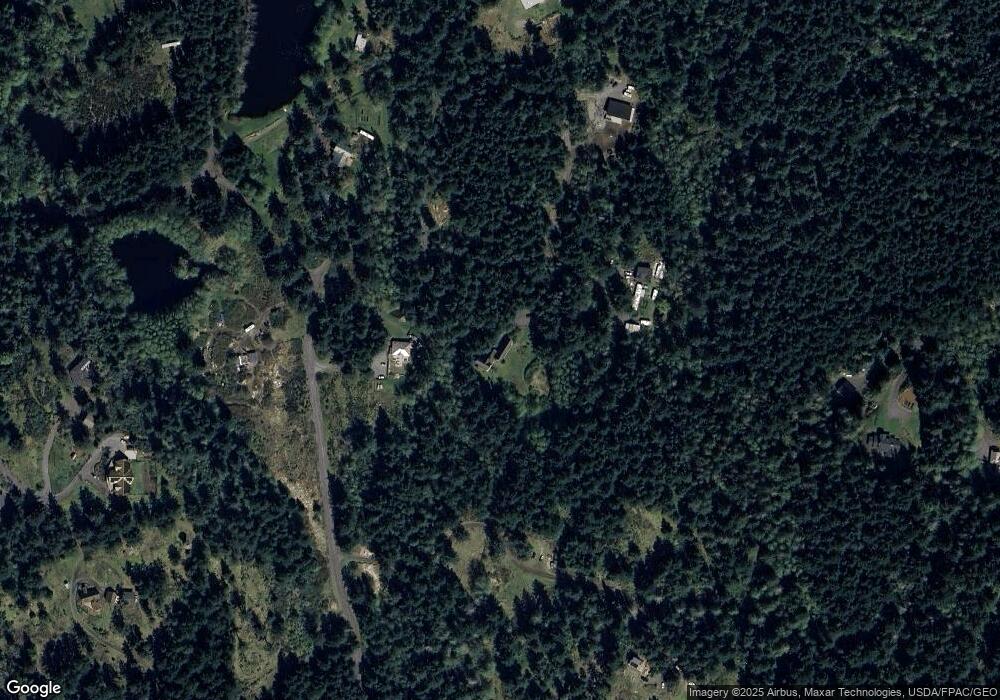
Map
Nearby Homes
- 72 Thunderbird Trail
- 239 Killebrew Lake Rd
- 8256 Orcas Rd
- 4362 Crow Valley Rd
- 749 Spring Hill Rd
- 0 X Orcas Rd
- 4263 Orcas Rd
- 0 Newton Beach Rd
- 512 Broken Point Rd
- 2155 Deer Harbor Rd
- 1014 Ben Nevis Loop Rd
- 48 Copper Hill Ln
- 0 Tibb's Landing Unit NWM2052312
- 5244 Deer Harbor Rd
- 3521 Deer Harbor Rd
- 300 Pleasure Horse Rd
- 0 XX Rocky Rd
- 3388 Deer Harbor Rd
- 168 Trail Horse Rd
- 573 Harborview Ln
- 159 Pheasant Ln
- 401 Victorian Valley Dr
- 401 Victorian Valley Rd
- 91 Pheasant Ln
- 0 Pheasant Ln
- 160 Pheasant Ln
- 501 Victorian Valley Dr
- 12 van Cromphant Ln
- 500 Victorian Valley Dr
- 154 Blackstone Hollow Trail
- 154 Blackstone Hollow
- 165 Douglas Manor Ln
- 116 Blackstone Hollow Trail
- 1 van Cromphant Ln
- 3 van Crompant Ln
- 376 Uff da Hill Rd
- 107 van Cromphant Ln
- 10 van Cromphant Ln
- 278 Blackstone Hollow Trail
- 113 Douglas Manor Ln
Your Personal Tour Guide
Ask me questions while you tour the home.