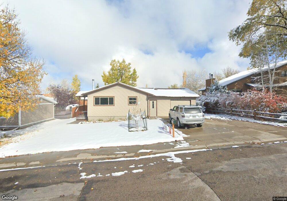
1345 Mcdougall Dr Lander, WY 82520
Estimated Value: $332,000 - $393,000
About This Home
This home is located at 1345 Mcdougall Dr, Lander, WY 82520 and is currently estimated at $360,987, approximately $183 per square foot. 1345 Mcdougall Dr is a home located in Fremont County with nearby schools including Lander Valley High School and Lander Christian Academy.
Ownership History
We collect this data history from publicly available records. To have your information removed, we recommend requesting removal directly through your county’s website.
Purchase Details
Home Financials for this Owner
Home Financials are based on the most recent Mortgage that was taken out on this home.Purchase Details
Home Values in the Area
Average Home Value in this Area
Purchase History
We collect this data history from publicly available records. To have your information removed, we recommend requesting removal directly through your county’s website.
| Date | Buyer | Sale Price | Title Company |
|---|---|---|---|
| -- | None Listed On Document | ||
| -- | None Available |
Mortgage History
We collect this data history from publicly available records. To have your information removed, we recommend requesting removal directly through your county’s website.
| Date | Status | Borrower | Loan Amount |
|---|---|---|---|
| Open | $190,000 |
Tax History
We collect this data history from publicly available records. To have your information removed, we recommend requesting removal directly through your county’s website.
| Year | Tax Paid | Tax Assessment Tax Assessment Total Assessment is a certain percentage of the fair market value that is determined by local assessors to be the total taxable value of land and additions on the property. | Land | Improvement |
|---|---|---|---|---|
| 2025 | $2,248 | $22,800 | $3,822 | $18,978 |
| 2024 | $2,248 | $29,131 | $5,097 | $24,034 |
| 2023 | $2,151 | $28,088 | $4,939 | $23,149 |
| 2022 | $1,658 | $22,134 | $4,939 | $17,195 |
| 2021 | $1,499 | $19,368 | $4,807 | $14,561 |
| 2020 | $1,450 | $18,770 | $4,807 | $13,963 |
| 2019 | $1,439 | $18,334 | $4,782 | $13,552 |
| 2018 | $1,430 | $18,016 | $4,782 | $13,234 |
| 2017 | $1,370 | $17,223 | $4,782 | $12,441 |
| 2016 | $1,370 | $17,248 | $4,782 | $12,466 |
| 2015 | $1,307 | $16,633 | $4,782 | $11,851 |
| 2014 | $1,333 | $16,997 | $4,782 | $12,215 |
Map
- 1185 Goodrich Dr
- 846 S 7th St
- 770 Shoshone St
- 945 Cliff St
- 1105 Mcdougall Dr
- 935 Cliff St
- 120 Roaring Fork Ct
- 1285 Goodrich Dr
- 839 S 6th St
- 1020 Mcdougall Dr
- 960 Dabich Ave
- 574 W Brodie St
- 915 Black Blvd
- 485 S 5th St
- 835 Garfield St
- 824 Main St
- 350 Canyon St
- 275 Cascade St
- 617 Main St Unit LotWP001
- 900 Lincoln St
- 1355 Mcdougall Dr
- 1335 Mcdougall Dr
- 807 Welch Blvd
- 809 Welch Blvd
- 809 Welch Blvd Unit Cascade
- 819 Vance Dr
- 1325 Mcdougall Dr
- 805 Welch Blvd
- 805 Welch Blvd Unit Cascade
- 1340 Mcdougall Dr
- 811 Welch Blvd
- 811 Welch Blvd Unit Cascade
- 1350 Mcdougall Dr
- 1330 Mcdougall Dr
- 817 Vance Dr
- 1320 Mcdougall Dr
- 813 Welch Blvd
- 1305 Mcdougall Dr
- 803 Welch Blvd
- 815 Vance Dr
Ask me questions while you tour the home.