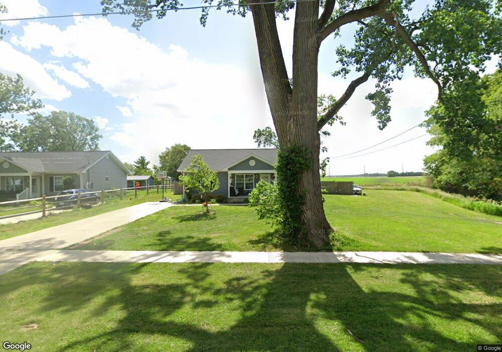
13495 Main St Weston, OH 43569
Estimated Value: $123,524 - $170,000
5
Beds
1
Bath
1,821
Sq Ft
$83/Sq Ft
Est. Value
About This Home
This home is located at 13495 Main St, Weston, OH 43569 and is currently estimated at $151,175, approximately $83 per square foot. 13495 Main St is a home located in Wood County with nearby schools including Otsego Elementary School, Otsego Junior High School, and Otsego High School.
Ownership History
Date
Name
Owned For
Owner Type
Purchase Details
Closed on
Aug 16, 2019
Sold by
Habitat For Humanity Of Wood County
Bought by
Pounders Clovie A and Hayes Florence
Current Estimated Value
Home Financials for this Owner
Home Financials are based on the most recent Mortgage that was taken out on this home.
Original Mortgage
$115,962
Outstanding Balance
$103,049
Interest Rate
3.8%
Mortgage Type
USDA
Estimated Equity
$48,126
Purchase Details
Closed on
May 21, 2019
Sold by
Habitat For Humanity Of Wood Cnty Oh Inc
Bought by
Habitat For Humanity Of Wood Cnty Oh Inc
Purchase Details
Closed on
Dec 7, 2017
Sold by
Oestreich Matthew
Bought by
Habitat For Humanity Of Wood County Ohio
Purchase Details
Closed on
Oct 21, 2016
Sold by
Lueke Bethann R
Bought by
State Of Ohio-Forfeited Land
Home Financials for this Owner
Home Financials are based on the most recent Mortgage that was taken out on this home.
Interest Rate
3.52%
Purchase Details
Closed on
Nov 22, 1988
Bought by
Hemminger Violet B
Create a Home Valuation Report for This Property
The Home Valuation Report is an in-depth analysis detailing your home's value as well as a comparison with similar homes in the area
Purchase History
| Date | Buyer | Sale Price | Title Company |
|---|---|---|---|
| Pounders Clovie A | $115,000 | None Available | |
| Habitat For Humanity Of Wood Cnty Oh Inc | -- | None Available | |
| Habitat For Humanity Of Wood County Ohio | -- | None Available | |
| State Of Ohio-Forfeited Land | -- | -- | |
| Hemminger Violet B | -- | -- |
Source: Public Records
Mortgage History
| Date | Status | Borrower | Loan Amount |
|---|---|---|---|
| Open | Pounders Clovie A | $115,962 | |
| Previous Owner | State Of Ohio-Forfeited Land | -- |
Source: Public Records
Tax History
| Year | Tax Paid | Tax Assessment Tax Assessment Total Assessment is a certain percentage of the fair market value that is determined by local assessors to be the total taxable value of land and additions on the property. | Land | Improvement |
|---|---|---|---|---|
| 2025 | $41 | $910 | $910 | -- |
| 2024 | $42 | $910 | $910 | -- |
| 2023 | $42 | $910 | $910 | $0 |
| 2021 | $46 | $910 | $910 | $0 |
Source: Public Records
Map
Nearby Homes
- 13439 Ash St
- 13375 Silver St
- 13270 Maple St
- 20390 Locust St
- 20280 Locust St
- 20175 Taylor St
- 21490 Portage Rd
- 22487 U S 6
- 0 Sand Ridge Rd Unit 10004038
- 17884 Euler Rd
- 16313 Euler Rd
- 17345 Reams Rd
- 0 Kellogg Rd Unit 6125521
- 14590 Liberty Hi Rd
- 22759 Defiance Pike
- 16920 Long Judson Rd
- 16896 Long Judson Rd
- 23763 Front St
- 0 Manore Lot A Rd Unit 6130402
- 0 Manore Lot B Rd Unit 6130403
Your Personal Tour Guide
Ask me questions while you tour the home.