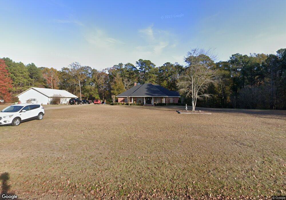
135 Ambrose Rd Choudrant, LA 71227
Estimated Value: $236,000 - $568,000
Studio
1
Bath
2,494
Sq Ft
$155/Sq Ft
Est. Value
About This Home
This home is located at 135 Ambrose Rd, Choudrant, LA 71227 and is currently estimated at $386,821, approximately $155 per square foot. 135 Ambrose Rd is a home located in Lincoln Parish with nearby schools including Choudrant Elementary School, Choudrant High School, and Ruston Junior High School.
Ownership History
Date
Name
Owned For
Owner Type
Purchase Details
Closed on
Dec 22, 2011
Sold by
Parnell Billy Jack and Parnell Edward Thomas
Bought by
Posey Jeffrey T and Posey Beverly H
Current Estimated Value
Home Financials for this Owner
Home Financials are based on the most recent Mortgage that was taken out on this home.
Original Mortgage
$100,000
Outstanding Balance
$87,484
Interest Rate
12%
Mortgage Type
Purchase Money Mortgage
Estimated Equity
$299,337
Create a Home Valuation Report for This Property
The Home Valuation Report is an in-depth analysis detailing your home's value as well as a comparison with similar homes in the area
Purchase History
We collect this data history from publicly available records. To have your information removed, we recommend requesting removal directly through your county’s website.
| Date | Buyer | Sale Price | Title Company |
|---|---|---|---|
| Posey Jeffrey T | $59,500 | None Available |
Source: Public Records
Mortgage History
We collect this data history from publicly available records. To have your information removed, we recommend requesting removal directly through your county’s website.
| Date | Status | Borrower | Loan Amount |
|---|---|---|---|
| Open | Posey Jeffrey T | $100,000 |
Source: Public Records
Tax History
| Year | Tax Paid | Tax Assessment Tax Assessment Total Assessment is a certain percentage of the fair market value that is determined by local assessors to be the total taxable value of land and additions on the property. | Land | Improvement |
|---|---|---|---|---|
| 2025 | $2,306 | $28,913 | $1,200 | $27,713 |
| 2024 | $2,306 | $28,913 | $1,200 | $27,713 |
| 2023 | $2,037 | $24,445 | $1,650 | $22,795 |
| 2022 | $2,024 | $24,445 | $1,650 | $22,795 |
| 2021 | $1,992 | $24,445 | $1,650 | $22,795 |
| 2020 | $1,938 | $23,721 | $1,650 | $22,071 |
| 2019 | $2,094 | $25,327 | $1,650 | $23,677 |
| 2018 | $2,096 | $25,327 | $1,650 | $23,677 |
| 2017 | $2,078 | $25,040 | $1,650 | $23,390 |
| 2016 | $2,059 | $0 | $0 | $0 |
| 2015 | $2,052 | $22,396 | $1,448 | $20,948 |
| 2013 | $2,092 | $22,502 | $1,448 | $21,054 |
Source: Public Records
Map
Nearby Homes
- 000 Par Road 453
- 220 Crestview Dr
- 120 Lanes End Dr
- 448 Loblolly Ln
- 00 Par Road 453
- 147 Loblolly Ln
- 204 Keeneland Ct
- 0 Oak Tree Rd
- 165 Loblolly Ln
- 120 Douglas Ln
- 1249 Highway 820
- 205 Cherrybark Way
- 111 Douglas Ln
- 117 Douglas Ln
- 196 Tanner Rd
- 0 Par Road 41
- 00 Par Road 43
- 118 Silverthorne Dr
- 1271 Emory Rd
- 929 Highway 145
- 657 Highway 821
- 612 Highway 821
- 576 Highway 821
- 543 Highway 821
- 703 Highway 821
- 227 Ambrose Rd
- 702 Highway 821
- 2607 Whitehead Rd
- 2671 Whitehead Rd
- 1348 Arnold Rd
- 403 Ambrose Rd
- 2578 Whitehead Rd
- 2579 Whitehead Rd
- 407 Highway 821
- 425 Highway 821
- 813 Highway 821
- 1302 Arnold Rd
- 2536 Whitehead Rd
- 857 Highway 821
- 000 Par Road 40 Unit Tract 3
Your Personal Tour Guide
Ask me questions while you tour the home.