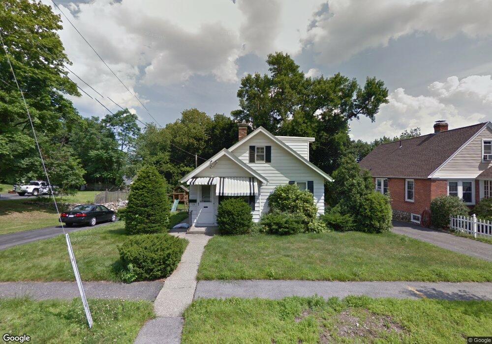
135 Barnard Rd Worcester, MA 01605
North Lincoln Street NeighborhoodEstimated Value: $424,112 - $519,000
4
Beds
2
Baths
1,521
Sq Ft
$314/Sq Ft
Est. Value
About This Home
This home is located at 135 Barnard Rd, Worcester, MA 01605 and is currently estimated at $478,278, approximately $314 per square foot. 135 Barnard Rd is a home located in Worcester County with nearby schools including Jacob Hiatt Magnet School, Chandler Magnet, and Wawecus Road School.
Ownership History
Date
Name
Owned For
Owner Type
Purchase Details
Closed on
Jan 5, 2009
Sold by
Montes Holly M and Montes John
Bought by
Rodrigues James M
Current Estimated Value
Home Financials for this Owner
Home Financials are based on the most recent Mortgage that was taken out on this home.
Original Mortgage
$158,400
Outstanding Balance
$104,833
Interest Rate
6.08%
Mortgage Type
Purchase Money Mortgage
Estimated Equity
$373,445
Purchase Details
Closed on
Jun 25, 1997
Sold by
Mcinnis Dorothy G
Bought by
Montes John
Home Financials for this Owner
Home Financials are based on the most recent Mortgage that was taken out on this home.
Original Mortgage
$92,740
Interest Rate
7.81%
Mortgage Type
Purchase Money Mortgage
Create a Home Valuation Report for This Property
The Home Valuation Report is an in-depth analysis detailing your home's value as well as a comparison with similar homes in the area
Home Values in the Area
Average Home Value in this Area
Purchase History
| Date | Buyer | Sale Price | Title Company |
|---|---|---|---|
| Rodrigues James M | $208,000 | -- | |
| Montes John | $95,000 | -- |
Source: Public Records
Mortgage History
| Date | Status | Borrower | Loan Amount |
|---|---|---|---|
| Open | Rodrigues James M | $158,400 | |
| Previous Owner | Montes John | $144,000 | |
| Previous Owner | Montes John | $92,000 | |
| Previous Owner | Montes John | $18,000 | |
| Previous Owner | Montes John | $92,740 |
Source: Public Records
Tax History
| Year | Tax Paid | Tax Assessment Tax Assessment Total Assessment is a certain percentage of the fair market value that is determined by local assessors to be the total taxable value of land and additions on the property. | Land | Improvement |
|---|---|---|---|---|
| 2025 | $4,566 | $346,200 | $108,100 | $238,100 |
| 2024 | $4,469 | $325,000 | $108,100 | $216,900 |
| 2023 | $4,296 | $299,600 | $94,000 | $205,600 |
| 2022 | $3,930 | $258,400 | $75,200 | $183,200 |
| 2021 | $3,834 | $235,500 | $60,200 | $175,300 |
| 2020 | $3,752 | $220,700 | $60,200 | $160,500 |
| 2019 | $3,542 | $196,800 | $54,100 | $142,700 |
| 2018 | $3,527 | $186,500 | $54,100 | $132,400 |
| 2017 | $3,410 | $177,400 | $54,100 | $123,300 |
| 2016 | $3,421 | $166,000 | $41,000 | $125,000 |
| 2015 | $3,332 | $166,000 | $41,000 | $125,000 |
| 2014 | $3,244 | $166,000 | $41,000 | $125,000 |
Source: Public Records
Map
Nearby Homes
- 6 Ashburnham Rd
- 25 Kenwood Ave
- 100 Burncoat St
- 32 Hemans St
- 18 Davidson Rd
- 30 Boardman St
- 44 Boardman St
- 27 Harlow St
- 23 Dryden St
- 249 Lincoln St
- 36 Melrose St
- 5 Wakefield St
- 46 Hastings Ave
- 63 North St Unit D
- 63 North St Unit C
- 63 North St Unit B
- 63 North St Unit A
- 51 Uxbridge St
- 7 Chadwick St
- 33 Denmark St
- 139 Barnard Rd
- 141 Barnard Rd
- 123 Barnard Rd
- 143 Barnard Rd
- 119 Barnard Rd
- 128 Burncoat Terrace
- 120 Burncoat Terrace
- 138 Barnard Rd
- 134 Barnard Rd
- 145 Barnard Rd
- 113 Barnard Rd
- 140 Barnard Rd
- 126 Barnard Rd
- 130 Barnard Rd
- 144 Barnard Rd
- 148 Barnard Rd
- 88 Burncoat Terrace
- 150 Barnard Rd
- 147 Barnard Rd
- 111 Barnard Rd
Your Personal Tour Guide
Ask me questions while you tour the home.