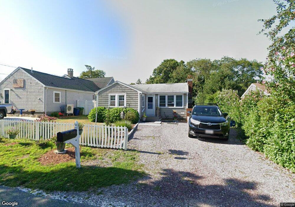
135 Colonial Rd Marshfield, MA 02050
Ocean Bluff-Brant Rock NeighborhoodEstimated Value: $458,000 - $551,000
2
Beds
1
Bath
672
Sq Ft
$750/Sq Ft
Est. Value
About This Home
This home is located at 135 Colonial Rd, Marshfield, MA 02050 and is currently estimated at $503,855, approximately $749 per square foot. 135 Colonial Rd is a home located in Plymouth County with nearby schools including Governor Edward Winslow School, Furnace Brook Middle School, and Marshfield High School.
Ownership History
Date
Name
Owned For
Owner Type
Purchase Details
Closed on
Nov 21, 2003
Sold by
Boudreau Leo M and Boudreau Maureen P
Bought by
Barrett Robert J
Current Estimated Value
Home Financials for this Owner
Home Financials are based on the most recent Mortgage that was taken out on this home.
Original Mortgage
$243,050
Interest Rate
5.98%
Mortgage Type
VA
Create a Home Valuation Report for This Property
The Home Valuation Report is an in-depth analysis detailing your home's value as well as a comparison with similar homes in the area
Home Values in the Area
Average Home Value in this Area
Purchase History
| Date | Buyer | Sale Price | Title Company |
|---|---|---|---|
| Barrett Robert J | $237,000 | -- | |
| Barrett Robert J | $237,000 | -- |
Source: Public Records
Mortgage History
| Date | Status | Borrower | Loan Amount |
|---|---|---|---|
| Open | Barrett Robert J | $223,822 | |
| Closed | Barrett Robert J | $243,050 |
Source: Public Records
Tax History
| Year | Tax Paid | Tax Assessment Tax Assessment Total Assessment is a certain percentage of the fair market value that is determined by local assessors to be the total taxable value of land and additions on the property. | Land | Improvement |
|---|---|---|---|---|
| 2025 | $4,347 | $439,100 | $317,600 | $121,500 |
| 2024 | $4,204 | $404,600 | $297,800 | $106,800 |
| 2023 | $4,002 | $365,200 | $268,000 | $97,200 |
| 2022 | $4,002 | $309,000 | $228,300 | $80,700 |
| 2021 | $3,866 | $293,100 | $218,400 | $74,700 |
| 2020 | $3,492 | $262,000 | $188,600 | $73,400 |
| 2019 | $3,407 | $254,600 | $188,600 | $66,000 |
| 2018 | $3,377 | $252,600 | $188,600 | $64,000 |
| 2017 | $3,274 | $238,600 | $178,700 | $59,900 |
| 2016 | $3,099 | $223,300 | $168,700 | $54,600 |
| 2015 | $2,903 | $218,400 | $168,700 | $49,700 |
| 2014 | $2,900 | $218,200 | $168,700 | $49,500 |
Source: Public Records
Map
Nearby Homes
- 149 Tower Ave
- 139 Colonial Rd
- 143 Tower Ave
- 145 Colonial Rd
- 138 Colonial Rd
- 121 Saginaw Ave
- 134 Colonial Rd
- 141 Tower Ave
- 146 Colonial Rd
- 80 Dundee Dr
- 128 Colonial Rd
- 128 Colonial Rd Unit 128
- 128 Colonial Rd Unit 1
- 109 Saginaw Ave
- 74 Dundee Dr
- 133 Tower Ave
- 122 Colonial Rd
- 13 Pamela Way
- 5 Pamela Way
- 118 Saginaw Ave
Your Personal Tour Guide
Ask me questions while you tour the home.