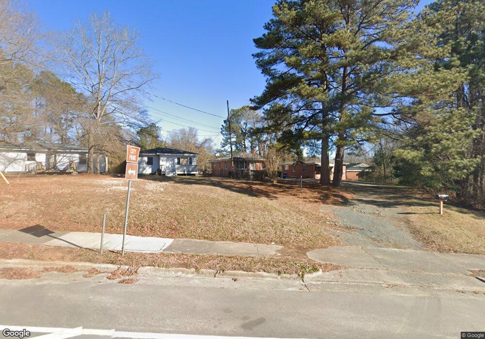
135 E Cornwallis Rd Durham, NC 27707
Spaulding Community NeighborhoodEstimated Value: $248,325 - $319,000
3
Beds
1
Bath
1,479
Sq Ft
$196/Sq Ft
Est. Value
About This Home
This home is located at 135 E Cornwallis Rd, Durham, NC 27707 and is currently estimated at $290,331, approximately $196 per square foot. 135 E Cornwallis Rd is a home located in Durham County with nearby schools including Morehead Montessori, Sherwood Githens Middle, and Jordan High School.
Ownership History
Date
Name
Owned For
Owner Type
Purchase Details
Closed on
Mar 24, 2015
Sold by
Vaughan Mary L
Bought by
Vaughan Victor Harris
Current Estimated Value
Purchase Details
Closed on
Sep 25, 2003
Sold by
Vaughan Victor H
Bought by
Vaughan Victor H and Vaughan Mary L
Home Financials for this Owner
Home Financials are based on the most recent Mortgage that was taken out on this home.
Original Mortgage
$81,200
Interest Rate
6.28%
Mortgage Type
Purchase Money Mortgage
Create a Home Valuation Report for This Property
The Home Valuation Report is an in-depth analysis detailing your home's value as well as a comparison with similar homes in the area
Home Values in the Area
Average Home Value in this Area
Purchase History
| Date | Buyer | Sale Price | Title Company |
|---|---|---|---|
| Vaughan Victor Harris | -- | None Available | |
| Vaughan Victor H | -- | -- |
Source: Public Records
Mortgage History
| Date | Status | Borrower | Loan Amount |
|---|---|---|---|
| Closed | Vaughan Victor H | $81,200 |
Source: Public Records
Tax History
| Year | Tax Paid | Tax Assessment Tax Assessment Total Assessment is a certain percentage of the fair market value that is determined by local assessors to be the total taxable value of land and additions on the property. | Land | Improvement |
|---|---|---|---|---|
| 2025 | $2,010 | $202,783 | $83,700 | $119,083 |
| 2024 | $1,841 | $132,003 | $18,630 | $113,373 |
| 2023 | $1,729 | $132,003 | $18,630 | $113,373 |
| 2022 | $1,690 | $132,003 | $18,630 | $113,373 |
| 2021 | $1,682 | $132,003 | $18,630 | $113,373 |
| 2020 | $1,642 | $132,003 | $18,630 | $113,373 |
| 2019 | $1,642 | $132,003 | $18,630 | $113,373 |
| 2018 | $1,173 | $86,452 | $15,525 | $70,927 |
| 2017 | $1,164 | $86,452 | $15,525 | $70,927 |
| 2016 | $1,125 | $86,452 | $15,525 | $70,927 |
| 2015 | $1,400 | $101,169 | $19,446 | $81,723 |
| 2014 | $1,400 | $101,169 | $19,446 | $81,723 |
Source: Public Records
Map
Nearby Homes
- 2810 Beechwood Dr
- 212 Barnhill St
- 2833 Wyeth Ave
- 2146 Charles St Unit 37
- 2146 Charles St Unit 40
- 226 Barnhill St
- 2904 Wadsworth Ave Unit A
- 201 Monticello Ave
- 2214 Oak Ridge Blvd
- 2902 Kanewood Dr
- 4 Rockwood Cir
- 3406 Facade St
- 2910 Driftwood Dr
- 104 Archdale Dr
- 2 Medearis Ct
- 180 Montrose Dr
- 3506 Four Seasons Dr
- 2932 Cedarwood Dr
- 2111 Stuart Dr
- 604 Homeland Ave
- 137 E Cornwallis Rd
- 133 E Cornwallis Rd
- 129 E Cornwallis Rd
- 120 E Cornwallis Rd
- 116 E Cornwallis Rd
- 112 & 114 E Cornwallis Rd
- 113 E Cornwallis Rd
- 2535 S Roxboro St
- 112 E Cornwallis Rd
- 125 Parquet St
- 2529 S Roxboro St
- 2539 S Roxboro St
- 106 E Cornwallis Rd
- 123 Parquet St
- 119 Parquet St
- 102 E Cornwallis Rd
- 2528 S Roxboro St
- 2532 S Roxboro St
- 2532 S Roxboro St Unit 2
- 2532 S Roxboro St Unit 3
Your Personal Tour Guide
Ask me questions while you tour the home.