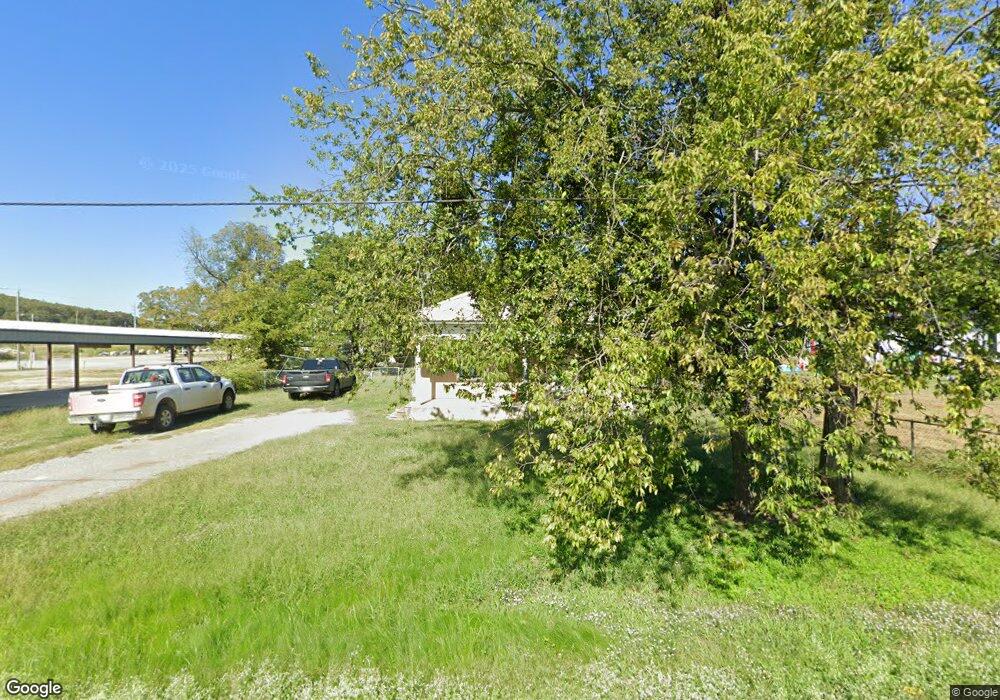
135 E Pecan Ave Stringtown, OK 74569
Estimated Value: $98,157 - $180,000
2
Beds
2
Baths
1,696
Sq Ft
$79/Sq Ft
Est. Value
About This Home
This home is located at 135 E Pecan Ave, Stringtown, OK 74569 and is currently estimated at $133,719, approximately $78 per square foot. 135 E Pecan Ave is a home with nearby schools including Stringtown Elementary School and Stringtown High School.
Ownership History
Date
Name
Owned For
Owner Type
Purchase Details
Closed on
Feb 25, 2020
Sold by
Fincher Paisley S
Bought by
Smith Chris and Smith Lori
Current Estimated Value
Home Financials for this Owner
Home Financials are based on the most recent Mortgage that was taken out on this home.
Original Mortgage
$28,050
Outstanding Balance
$13,161
Interest Rate
3.6%
Mortgage Type
Construction
Estimated Equity
$120,558
Purchase Details
Closed on
Jun 6, 2019
Sold by
Jason Williams
Bought by
Fincher Paisley S
Purchase Details
Closed on
Dec 30, 2007
Sold by
Williams Jason and Williams Shaunci
Bought by
Williams Jason
Create a Home Valuation Report for This Property
The Home Valuation Report is an in-depth analysis detailing your home's value as well as a comparison with similar homes in the area
Purchase History
| Date | Buyer | Sale Price | Title Company |
|---|---|---|---|
| Smith Chris | $33,000 | Complete Closing Llc | |
| Fincher Paisley S | -- | Attorney Only | |
| Williams Jason | -- | -- |
Source: Public Records
Mortgage History
| Date | Status | Borrower | Loan Amount |
|---|---|---|---|
| Open | Smith Chris | $28,050 |
Source: Public Records
Tax History
| Year | Tax Paid | Tax Assessment Tax Assessment Total Assessment is a certain percentage of the fair market value that is determined by local assessors to be the total taxable value of land and additions on the property. | Land | Improvement |
|---|---|---|---|---|
| 2025 | $476 | $4,813 | $408 | $4,405 |
| 2024 | $476 | $4,584 | $389 | $4,195 |
| 2023 | $418 | $4,366 | $378 | $3,988 |
| 2022 | $374 | $4,158 | $377 | $3,781 |
| 2021 | $364 | $3,960 | $377 | $3,583 |
| 2020 | $147 | $2,562 | $377 | $2,185 |
| 2019 | $138 | $2,441 | $377 | $2,064 |
| 2018 | $133 | $2,369 | $377 | $1,992 |
| 2017 | $155 | $2,888 | $377 | $2,511 |
| 2016 | $157 | $2,888 | $377 | $2,511 |
| 2015 | $366 | $5,400 | $377 | $5,023 |
| 2014 | $39 | $1,527 | $377 | $1,150 |
Source: Public Records
Map
Nearby Homes
- 130 S Highland St
- 283 Highland St
- 462 E Reba McEntire Ave
- 345 Cumberland Ave
- 614 Hughes St E
- 8446 E Greasy Bend Rd
- 0 Miller Rd
- Samata Ford Rd
- 00 W Hwy 69-75 Hwy
- 2 Eagle
- 0 County Road 3885 Unit 2602168
- 3345 U S 69
- 311 E A St
- 215 N California Ave
- 167 N Montana Ave
- 473 N Murray Ave
- 2973 N Lakeside Cir
- 13221 E Highway 3
- 0 E 10th St
- TBD Newman Ave
- 142 E Reba McEntire Ave
- 203 Mulberry St
- 179 S Bond St
- 215 N Bond St
- 176 Mulberry St
- 126 Mulberry St
- 156 S Mulberry St
- 106 Mulberry St
- 175 E Reba McEntire Ave
- 144 Mulberry St
- 161 E Cumberland Ave
- 236 Mulberry St
- 215 E Reba McEntire Ave
- 107 Cumberland Ave
- 248 E Reba McEntire Ave
- 0 N 4050 Unit 2329384
- 0000 E 43rd N
- 008 Angel
- 160 E Cumberland Ave
- 144 E Cumberland Ave
Your Personal Tour Guide
Ask me questions while you tour the home.