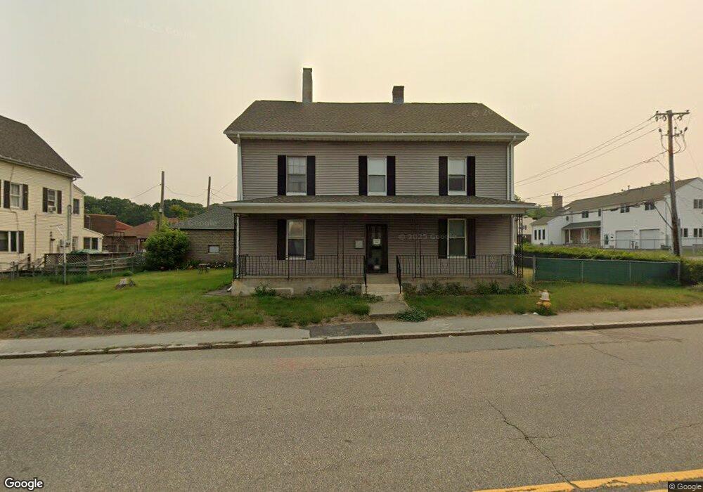
135 Massasoit Rd Unit 1 Worcester, MA 01604
Broadmeadow Brook NeighborhoodEstimated Value: $506,518 - $684,000
3
Beds
1
Bath
1,200
Sq Ft
$516/Sq Ft
Est. Value
About This Home
This home is located at 135 Massasoit Rd Unit 1, Worcester, MA 01604 and is currently estimated at $618,630, approximately $515 per square foot. 135 Massasoit Rd Unit 1 is a home located in Worcester County with nearby schools including Jacob Hiatt Magnet School, Chandler Magnet, and Rice Square Elementary School.
Ownership History
Date
Name
Owned For
Owner Type
Purchase Details
Closed on
Jul 10, 2018
Sold by
Llf Llc
Bought by
Dinh Tai
Current Estimated Value
Home Financials for this Owner
Home Financials are based on the most recent Mortgage that was taken out on this home.
Original Mortgage
$138,750
Outstanding Balance
$119,003
Interest Rate
4.6%
Mortgage Type
New Conventional
Estimated Equity
$499,627
Purchase Details
Closed on
Mar 28, 2014
Sold by
Foley Christopher
Bought by
Llf Llc
Purchase Details
Closed on
Nov 30, 2011
Sold by
Rojcewicz Robert
Bought by
Foley Christopher
Create a Home Valuation Report for This Property
The Home Valuation Report is an in-depth analysis detailing your home's value as well as a comparison with similar homes in the area
Home Values in the Area
Average Home Value in this Area
Purchase History
| Date | Buyer | Sale Price | Title Company |
|---|---|---|---|
| Dinh Tai | $185,000 | -- | |
| Llf Llc | -- | -- | |
| Foley Christopher | $80,000 | -- |
Source: Public Records
Mortgage History
| Date | Status | Borrower | Loan Amount |
|---|---|---|---|
| Open | Dinh Tai | $138,750 |
Source: Public Records
Tax History
| Year | Tax Paid | Tax Assessment Tax Assessment Total Assessment is a certain percentage of the fair market value that is determined by local assessors to be the total taxable value of land and additions on the property. | Land | Improvement |
|---|---|---|---|---|
| 2025 | $6,206 | $470,500 | $94,500 | $376,000 |
| 2024 | $5,904 | $429,400 | $94,500 | $334,900 |
| 2023 | $5,525 | $385,300 | $82,100 | $303,200 |
| 2022 | $5,100 | $335,300 | $65,700 | $269,600 |
| 2021 | $4,692 | $288,200 | $52,600 | $235,600 |
| 2020 | $4,405 | $259,100 | $52,600 | $206,500 |
| 2019 | $5,017 | $278,700 | $47,300 | $231,400 |
| 2018 | $4,900 | $259,100 | $47,300 | $211,800 |
| 2017 | $4,661 | $242,500 | $47,300 | $195,200 |
| 2016 | $4,668 | $226,500 | $34,500 | $192,000 |
| 2015 | $4,546 | $226,500 | $34,500 | $192,000 |
| 2014 | $2,548 | $130,400 | $43,200 | $87,200 |
Source: Public Records
Map
Nearby Homes
- 62 Allston Ave
- 83 Massasoit Rd
- 25 Stoneham Rd
- 143 Dorcester
- 256 Massasoit Rd
- 259 Massasoit Rd
- 16 Vincent Cir
- 266 Massasoit Rd
- 103 Heywood St
- 61 Cohasset St
- 429 Grafton St Unit 2
- 80 Delmont Ave
- 143 Commonwealth Ave
- 155 Hamilton St Unit 4
- 56 Plantation St
- 41 Bridgeport St
- 330 Sunderland Rd Unit 80
- 330 Sunderland Rd Unit 69
- 3 Julien Ave
- 81 Pilgrim Ave
- 135 Massasoit Rd
- 2 Short St
- 131 Massasoit Rd
- 134 Massasoit Rd
- 4 Short St
- 5 Short St
- 7 Short St
- 7 Short St Unit 2
- 7 Short St Unit 1
- 3 Greenfield St
- 141 Massasoit Rd
- 3A Greenfield St
- 2 Greenfield St
- 9 Short St
- 5A Greenfield St
- 5 Greenfield St
- 5 Greenfield St Unit A
- 143 Massasoit Rd
- 119 Massasoit Rd
- 144 Massasoit Rd
Your Personal Tour Guide
Ask me questions while you tour the home.