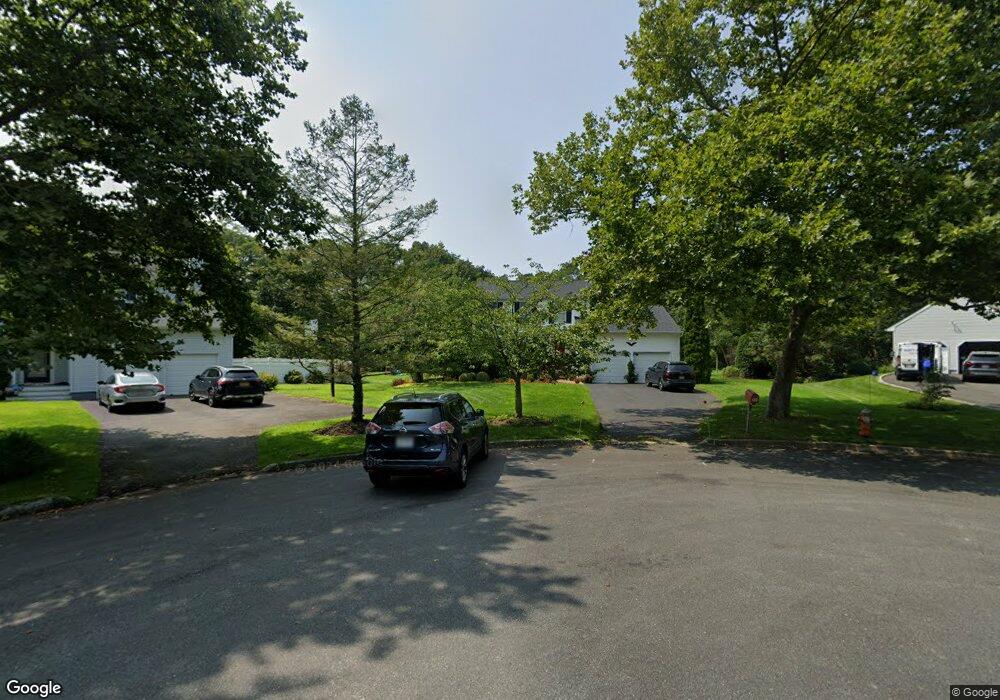
135 Timothy Ln Riverhead, NY 11901
Estimated Value: $847,360 - $1,015,000
4
Beds
3
Baths
2,024
Sq Ft
$455/Sq Ft
Est. Value
About This Home
This home is located at 135 Timothy Ln, Riverhead, NY 11901 and is currently estimated at $920,590, approximately $454 per square foot. 135 Timothy Ln is a home located in Suffolk County with nearby schools including Pulaski Street Intermediate School, Riverhead Middle School, and Riverhead Senior High School.
Ownership History
Date
Name
Owned For
Owner Type
Purchase Details
Closed on
Jan 13, 2011
Sold by
Cowley Thomas C and Cowley Jeanne I
Bought by
Ziskind Edward and Monte Kristina
Current Estimated Value
Home Financials for this Owner
Home Financials are based on the most recent Mortgage that was taken out on this home.
Original Mortgage
$280,000
Outstanding Balance
$191,351
Interest Rate
4.83%
Mortgage Type
Purchase Money Mortgage
Estimated Equity
$729,239
Purchase Details
Closed on
Dec 13, 2006
Sold by
Lazzara Joseph
Bought by
Hillenbrand Mary E
Create a Home Valuation Report for This Property
The Home Valuation Report is an in-depth analysis detailing your home's value as well as a comparison with similar homes in the area
Home Values in the Area
Average Home Value in this Area
Purchase History
| Date | Buyer | Sale Price | Title Company |
|---|---|---|---|
| Ziskind Edward | $411,000 | -- | |
| Hillenbrand Mary E | $525,000 | Andrew J Dejoseph |
Source: Public Records
Mortgage History
| Date | Status | Borrower | Loan Amount |
|---|---|---|---|
| Open | Ziskind Edward | $280,000 |
Source: Public Records
Tax History
| Year | Tax Paid | Tax Assessment Tax Assessment Total Assessment is a certain percentage of the fair market value that is determined by local assessors to be the total taxable value of land and additions on the property. | Land | Improvement |
|---|---|---|---|---|
| 2024 | $11,286 | $55,200 | $10,500 | $44,700 |
| 2023 | $11,286 | $55,200 | $10,500 | $44,700 |
| 2022 | $9,827 | $55,200 | $10,500 | $44,700 |
| 2021 | $9,827 | $55,200 | $10,500 | $44,700 |
| 2020 | $5,256 | $55,200 | $10,500 | $44,700 |
| 2019 | $5,256 | $0 | $0 | $0 |
| 2018 | -- | $55,200 | $10,500 | $44,700 |
| 2017 | $10,277 | $55,200 | $10,500 | $44,700 |
| 2016 | $9,934 | $55,200 | $10,500 | $44,700 |
| 2015 | -- | $55,200 | $10,500 | $44,700 |
| 2014 | -- | $55,200 | $10,500 | $44,700 |
Source: Public Records
Map
Nearby Homes
- 196 High Meadow Ln
- 1386 Main Rd
- 1705 & 1709 Main Rd
- 93 Saint Marys Dr
- 1400 Peconic Bay Blvd
- 1 and 2 Campground Cir
- 108 Vista Ct
- 33 Dougs Ln
- 1001 Peconic Bay Blvd
- 264 Washington Ave
- 1115 White Eagle Dr
- 957 Peconic Bay Blvd
- 61 Eileen Cir
- 1420 Laurelwood Dr
- 121 S Jamesport Ave
- 1750 Peconic Bay Blvd
- 405 S Oakwood Dr
- 1260 Main Rd
- 935 Franklinville Rd
- 51 Lockitt Dr
- 133 Timothy Ln
- 137 Timothy Ln
- 125 Timothy Ln
- 132 Timothy Ln
- 126 Timothy Ln
- 126 Timothy Ln
- 113 Timothy Ln
- 114 Timothy Ln
- 101 Timothy Ln
- 104 Timothy Ln
- 189 High Meadow Ln
- 223 High Rd
- 177 High Meadow Ln
- 88 Timothy Ln
- 196 High Meadow Ln
- 167 High Meadow Ln
- 17 Ritas Ct
- 184 High Meadow Ln
- 25 Ritas Ct
- 174 High Meadow Ln
Your Personal Tour Guide
Ask me questions while you tour the home.