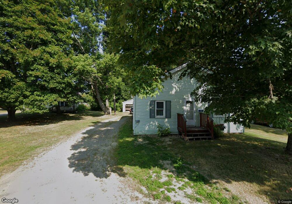
135 Union St Calais, ME 04619
Estimated Value: $207,517 - $305,000
3
Beds
3
Baths
1,554
Sq Ft
$152/Sq Ft
Est. Value
About This Home
This home is located at 135 Union St, Calais, ME 04619 and is currently estimated at $236,879, approximately $152 per square foot. 135 Union St is a home with nearby schools including Calais Elementary School and Calais Middle/High School.
Ownership History
Date
Name
Owned For
Owner Type
Purchase Details
Closed on
Sep 13, 2019
Sold by
Hold Tonia L
Bought by
Lanier Tonia L and Lanier Phillip A
Current Estimated Value
Home Financials for this Owner
Home Financials are based on the most recent Mortgage that was taken out on this home.
Original Mortgage
$165,000
Outstanding Balance
$142,291
Interest Rate
3.6%
Mortgage Type
New Conventional
Estimated Equity
$94,588
Purchase Details
Closed on
Jun 19, 2015
Sold by
Hold E G and Merrill Mary
Bought by
Jones B R
Purchase Details
Closed on
Mar 3, 2009
Sold by
Blackman George R Est
Bought by
Hold Tonia
Create a Home Valuation Report for This Property
The Home Valuation Report is an in-depth analysis detailing your home's value as well as a comparison with similar homes in the area
Home Values in the Area
Average Home Value in this Area
Purchase History
We collect this data history from publicly available records. To have your information removed, we recommend requesting removal directly through your county’s website.
| Date | Buyer | Sale Price | Title Company |
|---|---|---|---|
| Lanier Tonia L | -- | -- | |
| Jones B R | -- | -- | |
| Hold Tonia | -- | -- |
Source: Public Records
Mortgage History
We collect this data history from publicly available records. To have your information removed, we recommend requesting removal directly through your county’s website.
| Date | Status | Borrower | Loan Amount |
|---|---|---|---|
| Open | Lanier Tonia L | $165,000 |
Source: Public Records
Tax History
| Year | Tax Paid | Tax Assessment Tax Assessment Total Assessment is a certain percentage of the fair market value that is determined by local assessors to be the total taxable value of land and additions on the property. | Land | Improvement |
|---|---|---|---|---|
| 2025 | $2,716 | $187,300 | $0 | $187,300 |
| 2024 | $2,576 | $171,700 | $0 | $171,700 |
| 2023 | $2,518 | $148,100 | $0 | $148,100 |
| 2022 | $2,274 | $119,700 | $0 | $119,700 |
| 2021 | $2,480 | $114,800 | $0 | $114,800 |
| 2020 | $2,482 | $98,100 | $0 | $98,100 |
| 2019 | $2,371 | $93,700 | $0 | $93,700 |
| 2018 | $2,371 | $93,700 | $0 | $93,700 |
| 2017 | $2,371 | $93,700 | $0 | $93,700 |
| 2016 | $2,371 | $93,700 | $0 | $93,700 |
| 2015 | $2,371 | $93,700 | $0 | $93,700 |
| 2014 | $2,371 | $93,700 | $0 | $93,700 |
| 2013 | $2,371 | $93,700 | $0 | $93,700 |
Source: Public Records
Map
Nearby Homes
Your Personal Tour Guide
Ask me questions while you tour the home.