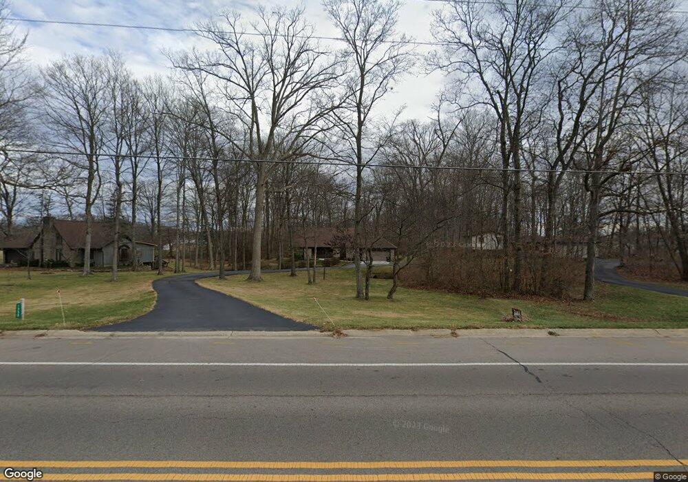
1350 Lytle Rd Waynesville, OH 45068
Estimated Value: $423,000 - $500,000
4
Beds
3
Baths
2,420
Sq Ft
$186/Sq Ft
Est. Value
About This Home
This home is located at 1350 Lytle Rd, Waynesville, OH 45068 and is currently estimated at $449,779, approximately $185 per square foot. 1350 Lytle Rd is a home located in Warren County with nearby schools including Waynesville Elementary School, Waynesville Middle School, and Waynesville High School.
Ownership History
Date
Name
Owned For
Owner Type
Purchase Details
Closed on
Mar 7, 2019
Sold by
Corwin Susan H and Corwin Robert C
Bought by
Corwin Susan H and The Susan H Corwin Family Trus
Current Estimated Value
Purchase Details
Closed on
Jun 26, 1987
Sold by
Conner Stephen and Stephen E
Bought by
Corwin and Corwin Robert C
Purchase Details
Closed on
Jun 4, 1987
Sold by
Conner Conner and Conner E. Stephen
Bought by
Conner Conner and Conner E. Stephen
Create a Home Valuation Report for This Property
The Home Valuation Report is an in-depth analysis detailing your home's value as well as a comparison with similar homes in the area
Home Values in the Area
Average Home Value in this Area
Purchase History
We collect this data history from publicly available records. To have your information removed, we recommend requesting removal directly through your county’s website.
| Date | Buyer | Sale Price | Title Company |
|---|---|---|---|
| Corwin Susan H | -- | None Available | |
| Corwin | $22,800 | -- | |
| Conner Conner | -- | -- |
Source: Public Records
Tax History
| Year | Tax Paid | Tax Assessment Tax Assessment Total Assessment is a certain percentage of the fair market value that is determined by local assessors to be the total taxable value of land and additions on the property. | Land | Improvement |
|---|---|---|---|---|
| 2025 | $5,720 | $130,840 | $25,200 | $105,640 |
| 2024 | $5,720 | $130,840 | $25,200 | $105,640 |
| 2023 | $5,366 | $106,487 | $12,915 | $93,572 |
| 2022 | $5,261 | $106,488 | $12,915 | $93,573 |
| 2021 | $5,068 | $106,488 | $12,915 | $93,573 |
| 2020 | $4,799 | $86,576 | $10,500 | $76,076 |
| 2019 | $4,800 | $86,576 | $10,500 | $76,076 |
| 2018 | $4,802 | $86,576 | $10,500 | $76,076 |
| 2017 | $4,701 | $79,114 | $9,765 | $69,349 |
| 2016 | $4,420 | $79,114 | $9,765 | $69,349 |
| 2015 | $4,428 | $79,114 | $9,765 | $69,349 |
| 2014 | $4,259 | $71,920 | $8,880 | $63,050 |
| 2013 | $4,251 | $85,060 | $10,500 | $74,560 |
Source: Public Records
Map
Nearby Homes
- 862 Camp Creek Rd
- 1050 Rose Petal Ct
- 1580 Adamsmoor Dr
- 1155 Crimson Ct
- 363 Victoria Place
- 50 E Ellis Dr
- 393 N Main St
- 375 North St
- 129 N Main St
- 7215 N State Route 42
- 1 Cumberland Ct
- 19 U S 42
- 15 U S 42
- 155 S Main St
- 137 S Main St
- 4 Corwin Rd
- 31 Clarksville Rd
- 39 1st St
- 6638 New Burlington Rd
- 6345 Corwin Rd
- 1390 Lytle Rd
- 902 Preston Dr
- 924 Preston Dr
- 892 Preston Dr
- 880 Preston Dr
- 946 Preston Dr
- Lot #12 Lytle Rd
- Lot #11 Lytle Rd
- 1349 Lytle Rd
- 1327 Lytle Rd
- 864 Preston Dr
- 1315 Lytle Rd
- 897 Preston Dr
- 1273 Lytle Rd
- 945 Preston Dr
- 1261 Lytle Rd
- 794 Robindale Dr
- 1276 Anthony Trace
- 789 Robindale Dr
- 1292 Anthony Trace
Your Personal Tour Guide
Ask me questions while you tour the home.