Estimated Value: $285,000 - $358,000
About This Home
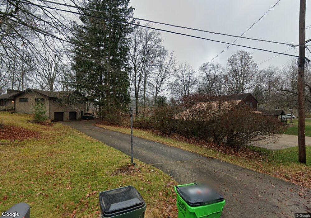
This home is located at 1350 Mac Dr, Stow, OH 44224 and is currently estimated at $319,598, approximately $169 per square foot. 1350 Mac Dr is a home located in Summit County with nearby schools including Stow-Munroe Falls High School, Primrose School of Hudson, and Holy Family Elementary School.
Ownership History
We collect this data history from publicly available records. To have your information removed, we recommend requesting removal directly through your county’s website.
Purchase Details
Purchase Details
Home Financials for this Owner
Home Financials are based on the most recent Mortgage that was taken out on this home.Home Values in the Area
Average Home Value in this Area
Purchase History
We collect this data history from publicly available records. To have your information removed, we recommend requesting removal directly through your county’s website.
| Date | Buyer | Sale Price | Title Company |
|---|---|---|---|
| -- | -- | ||
| $161,200 | -- |
Mortgage History
We collect this data history from publicly available records. To have your information removed, we recommend requesting removal directly through your county’s website.
| Date | Status | Borrower | Loan Amount |
|---|---|---|---|
| Open | $112,800 |
Tax History
We collect this data history from publicly available records. To have your information removed, we recommend requesting removal directly through your county’s website.
| Year | Tax Paid | Tax Assessment Tax Assessment Total Assessment is a certain percentage of the fair market value that is determined by local assessors to be the total taxable value of land and additions on the property. | Land | Improvement |
|---|---|---|---|---|
| 2026 | $8,799 | $109,991 | $24,857 | $85,134 |
| 2025 | $6,284 | $109,991 | $24,857 | $85,134 |
| 2024 | $6,284 | $109,991 | $24,857 | $85,134 |
| 2023 | $6,284 | $109,991 | $24,857 | $85,134 |
| 2022 | $5,298 | $81,568 | $18,414 | $63,154 |
| 2021 | $4,753 | $81,568 | $18,414 | $63,154 |
| 2020 | $4,672 | $81,560 | $18,410 | $63,150 |
| 2019 | $4,230 | $68,780 | $17,310 | $51,470 |
| 2018 | $4,162 | $68,780 | $17,310 | $51,470 |
| 2017 | $4,012 | $68,780 | $17,310 | $51,470 |
| 2016 | $4,113 | $64,350 | $17,310 | $47,040 |
| 2015 | $4,012 | $64,350 | $17,310 | $47,040 |
| 2014 | $4,016 | $64,350 | $17,310 | $47,040 |
| 2013 | $3,936 | $63,430 | $17,310 | $46,120 |
Map
- 1259 Meadowbrook Blvd
- 4760 Sunnyside Dr
- 4748 Sunnyside Dr
- 4994 Comanche Trail
- 1480 Meadowbrook Blvd
- 1979 Sandy Hook
- 5005 Bar Harbor Ln Unit 5005
- 1946 Leisure Ln
- 5111 Rockport Cove
- 1528 Spruce Hill Dr
- 1671 Sapphire Dr
- V/L Housley Rd
- 1969 Willowdale Dr
- 4457 Forest Lake Ct
- 4436 Forest Lake Ct
- 1826 Arndale Rd
- 4281 Meadowlark Trail
- 1403 Whippoorwill Trail
- 5640 Gibson Ct
- 5782 Holland Dr
- 1350 Mac Dr
- 1350 Mac Dr
- 1350 Mac Dr
- 1338 Mac Dr
- 1368 Mac Dr
- 1326 Mac Dr
- 1374 Mac Dr Unit 1378
- 1385 Mctaggart Rd Unit 1387
- 1320 Mac Dr Unit 1324
- 1320 Mac Dr Unit 1324
- 1320 Mac Dr
- 1320 1324 Mac Dr
- 1345 Mac Dr
- 1387 Mctaggart Rd
- 1343 Mac Dr
- 1388 Mac Dr
- 0 Mac Dr Unit 4458259
- 1333 Mac Dr
- 1323 Mac Dr
- 1310 Mac Dr
Ask me questions while you tour the home.