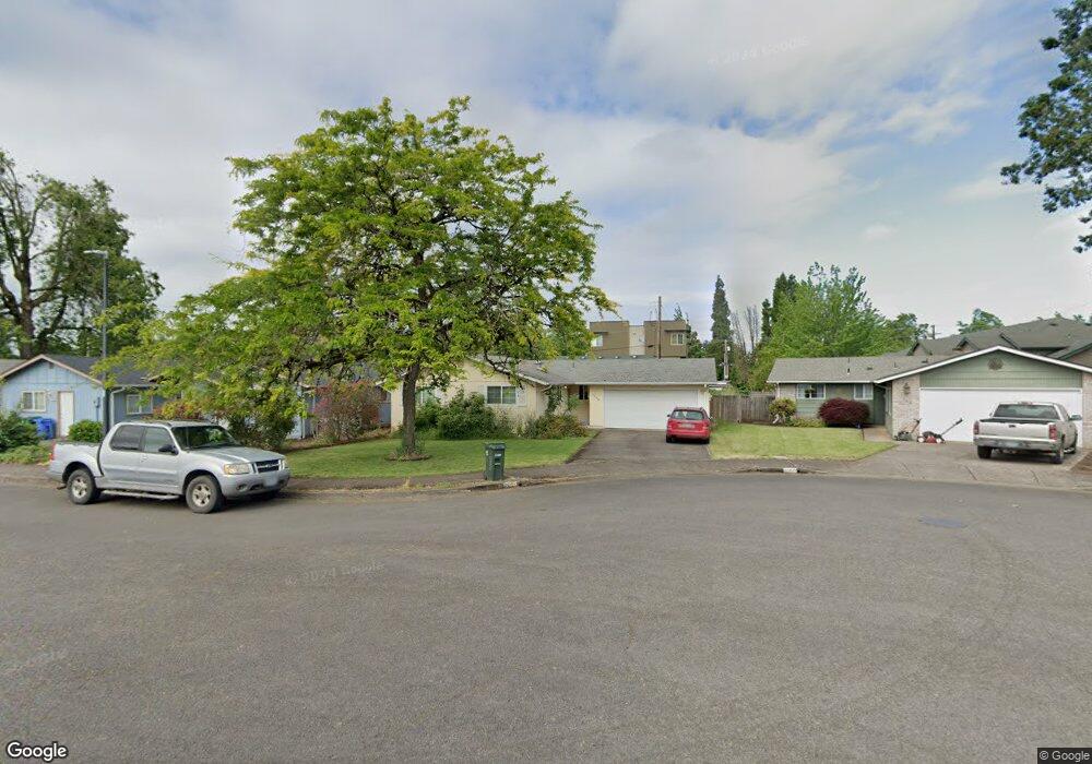
1350 Riggs St Eugene, OR 97401
Harlow NeighborhoodEstimated Value: $402,151 - $427,000
3
Beds
1
Bath
1,040
Sq Ft
$398/Sq Ft
Est. Value
About This Home
This home is located at 1350 Riggs St, Eugene, OR 97401 and is currently estimated at $413,538, approximately $397 per square foot. 1350 Riggs St is a home located in Lane County with nearby schools including Holt Elementary School, Monroe Middle School, and Sheldon High School.
Ownership History
Date
Name
Owned For
Owner Type
Purchase Details
Closed on
Feb 5, 2009
Sold by
Morris Mary M
Bought by
Sanderson Rodney and Sanderson Rebecca A
Current Estimated Value
Home Financials for this Owner
Home Financials are based on the most recent Mortgage that was taken out on this home.
Original Mortgage
$176,500
Outstanding Balance
$110,239
Interest Rate
5.04%
Mortgage Type
Purchase Money Mortgage
Estimated Equity
$303,299
Purchase Details
Closed on
Oct 24, 2000
Sold by
Caldwell Robert E and Caldwell Susan M
Bought by
Morris Mary M
Home Financials for this Owner
Home Financials are based on the most recent Mortgage that was taken out on this home.
Original Mortgage
$118,340
Interest Rate
7.89%
Purchase Details
Closed on
Mar 12, 1998
Sold by
Caldwell Robert E
Bought by
Caldwell Robert E and Caldwell Susan Marie
Create a Home Valuation Report for This Property
The Home Valuation Report is an in-depth analysis detailing your home's value as well as a comparison with similar homes in the area
Home Values in the Area
Average Home Value in this Area
Purchase History
| Date | Buyer | Sale Price | Title Company |
|---|---|---|---|
| Sanderson Rodney | $196,500 | Cascade Title Co | |
| Morris Mary M | $122,000 | American Title Group | |
| Caldwell Robert E | -- | Western Pioneer Title Co |
Source: Public Records
Mortgage History
| Date | Status | Borrower | Loan Amount |
|---|---|---|---|
| Open | Sanderson Rodney | $176,500 | |
| Previous Owner | Morris Mary M | $118,340 |
Source: Public Records
Tax History
| Year | Tax Paid | Tax Assessment Tax Assessment Total Assessment is a certain percentage of the fair market value that is determined by local assessors to be the total taxable value of land and additions on the property. | Land | Improvement |
|---|---|---|---|---|
| 2025 | $3,735 | $191,705 | -- | -- |
| 2024 | $3,689 | $186,122 | -- | -- |
| 2023 | $3,689 | $180,701 | $0 | $0 |
| 2022 | $3,456 | $175,438 | $0 | $0 |
| 2021 | $3,246 | $170,329 | $0 | $0 |
| 2020 | $3,257 | $165,368 | $0 | $0 |
| 2019 | $3,146 | $160,552 | $0 | $0 |
| 2018 | $2,961 | $151,336 | $0 | $0 |
| 2017 | $2,821 | $151,336 | $0 | $0 |
| 2016 | $2,691 | $146,928 | $0 | $0 |
| 2015 | $2,574 | $142,649 | $0 | $0 |
| 2014 | $2,494 | $138,494 | $0 | $0 |
Source: Public Records
Map
Nearby Homes
- 1090 Corydon St
- 950 Coburg Rd
- 2956 Willakenzie Rd
- 2872 Suffolk Ct
- 0 Sprig Ln Unit Lot 3
- 0 Sprig Ln Unit Lot 3 766109892
- 2345 Pioneer Pike
- 820 Lariat Dr
- 2746 Harlow Rd
- 600 Cherry Dr Unit 8
- 600 Cherry Dr Unit 3
- 2495 Jeppesen Acres Rd
- 1491 Victorian Way
- 2250 Turnberry Ct
- 1521 Gilham Rd
- 2580 Elysium Ave
- 347 Rustic Place Unit 14
- 394 Cherry Dr
- 825 Waverly St
- 2994 Dapple Way
Your Personal Tour Guide
Ask me questions while you tour the home.