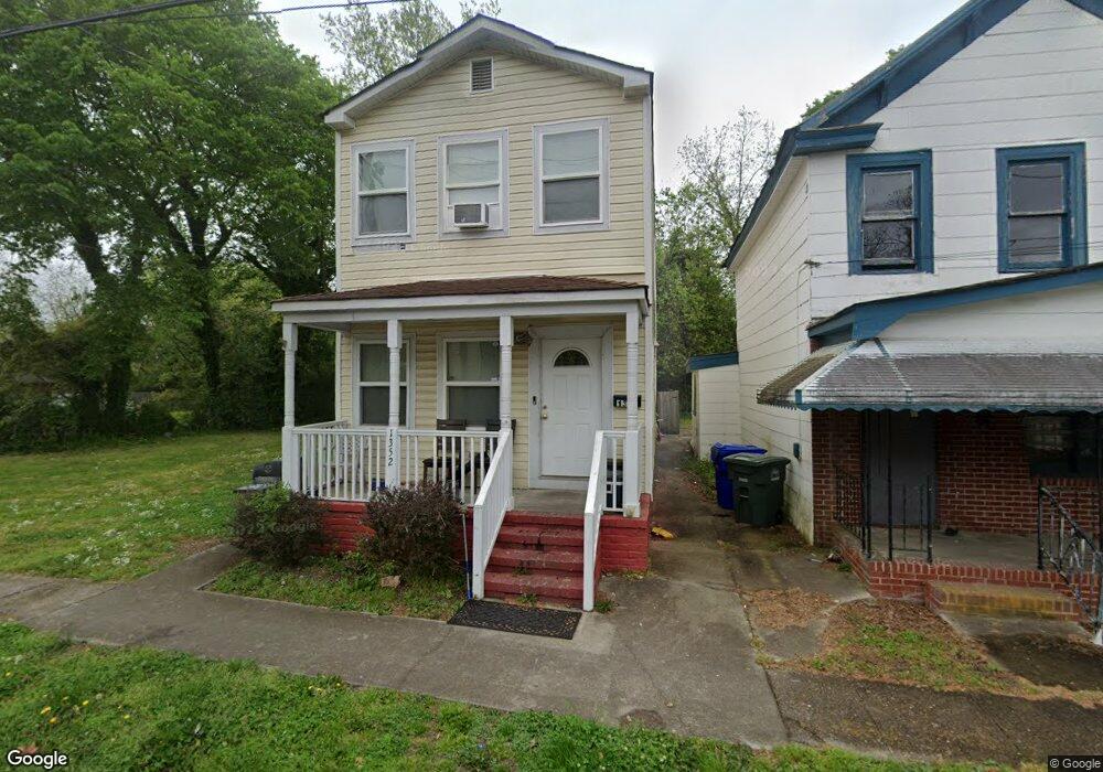
1352 Bolton St Norfolk, VA 23504
Olde Huntersville NeighborhoodEstimated Value: $227,000 - $294,000
3
Beds
3
Baths
1,750
Sq Ft
$155/Sq Ft
Est. Value
About This Home
This home is located at 1352 Bolton St, Norfolk, VA 23504 and is currently estimated at $271,359, approximately $155 per square foot. 1352 Bolton St is a home located in Norfolk City with nearby schools including Jacox Elementary School, B.T. Washington High School, and First Baptist Ready Academy Christian School.
Ownership History
Date
Name
Owned For
Owner Type
Purchase Details
Closed on
Apr 30, 2024
Sold by
Birch Glenda P
Bought by
1352 Bolton Street Llc
Current Estimated Value
Purchase Details
Closed on
Jan 15, 2010
Sold by
Protium Reo I Lp
Bought by
Azevedo Antonio Decosta
Purchase Details
Closed on
Oct 16, 2009
Sold by
Sutton Funding Llc
Bought by
Protium Reo I Lp
Purchase Details
Closed on
Dec 12, 2008
Sold by
Lyles Roberta
Bought by
Sutton Funding Llc
Create a Home Valuation Report for This Property
The Home Valuation Report is an in-depth analysis detailing your home's value as well as a comparison with similar homes in the area
Home Values in the Area
Average Home Value in this Area
Purchase History
| Date | Buyer | Sale Price | Title Company |
|---|---|---|---|
| 1352 Bolton Street Llc | -- | None Listed On Document | |
| Birch Glenda P | -- | None Listed On Document | |
| Azevedo Antonio Decosta | $17,000 | -- | |
| Protium Reo I Lp | $85,300 | -- | |
| Sutton Funding Llc | $94,079 | None Available |
Source: Public Records
Tax History
| Year | Tax Paid | Tax Assessment Tax Assessment Total Assessment is a certain percentage of the fair market value that is determined by local assessors to be the total taxable value of land and additions on the property. | Land | Improvement |
|---|---|---|---|---|
| 2025 | $3,371 | $269,700 | $29,500 | $240,200 |
| 2024 | $3,090 | $251,200 | $29,500 | $221,700 |
| 2023 | $2,995 | $239,600 | $29,500 | $210,100 |
| 2022 | $2,084 | $213,200 | $20,400 | $192,800 |
| 2021 | $591 | $189,200 | $17,900 | $171,300 |
| 2020 | $2,365 | $189,200 | $17,900 | $171,300 |
| 2019 | $2,100 | $168,000 | $17,900 | $150,100 |
| 2018 | $1,990 | $159,200 | $17,900 | $141,300 |
| 2017 | $1,812 | $157,600 | $17,900 | $139,700 |
| 2016 | $1,774 | $96,500 | $17,900 | $78,600 |
| 2015 | $1,740 | $96,500 | $17,900 | $78,600 |
| 2014 | $1,740 | $96,500 | $17,900 | $78,600 |
Source: Public Records
Map
Nearby Homes
- 1002 Dunbar St
- 1416 Bolton St
- 956 Gordon Ave
- 1031 Anderson St
- 1509 Tidewater Dr
- 1232 Maltby Ave
- 1230 Saint Julian Ave
- 1815 Tidewater Dr
- 2222 Hanson Ave
- 1347 Marshall Ave
- 1419 Goff St
- 1004 Barney St
- 1350 Marshall Ave
- 859 Lexington St
- 2300 Courtney Ave
- 1521 Cary Ave
- 823 Lexington St
- 2317 Hanson Ave
- 1111 Rugby St
- 1417 Lead St
Your Personal Tour Guide
Ask me questions while you tour the home.