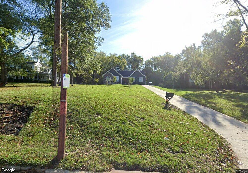
1356 Sutton Rd Cincinnati, OH 45230
Salem Heights NeighborhoodEstimated Value: $381,000 - $771,000
Studio
--
Bath
1,920
Sq Ft
$281/Sq Ft
Est. Value
About This Home
This home is located at 1356 Sutton Rd, Cincinnati, OH 45230 and is currently estimated at $538,887, approximately $280 per square foot. 1356 Sutton Rd is a home with nearby schools including Maddux Elementary School, Nagel Middle School, and Anderson High School.
Ownership History
Date
Name
Owned For
Owner Type
Purchase Details
Closed on
Dec 5, 2012
Sold by
Clauder Family Limited Partnership
Bought by
Eriger Investments Llc
Current Estimated Value
Purchase Details
Closed on
Feb 28, 2005
Sold by
The Grogan Family Lp
Bought by
Clauder Arthur
Home Financials for this Owner
Home Financials are based on the most recent Mortgage that was taken out on this home.
Original Mortgage
$215,000
Interest Rate
5.25%
Mortgage Type
Fannie Mae Freddie Mac
Purchase Details
Closed on
Dec 31, 1996
Sold by
Grogan Mary G
Bought by
Grogan Family Ltd Partnership
Create a Home Valuation Report for This Property
The Home Valuation Report is an in-depth analysis detailing your home's value as well as a comparison with similar homes in the area
Home Values in the Area
Average Home Value in this Area
Purchase History
| Date | Buyer | Sale Price | Title Company |
|---|---|---|---|
| Eriger Investments Llc | $74,000 | Ltoc | |
| Clauder Arthur | -- | Advanced Land Title Agency | |
| Grogan Family Ltd Partnership | -- | -- |
Source: Public Records
Mortgage History
| Date | Status | Borrower | Loan Amount |
|---|---|---|---|
| Previous Owner | Clauder Arthur | $215,000 |
Source: Public Records
Tax History
| Year | Tax Paid | Tax Assessment Tax Assessment Total Assessment is a certain percentage of the fair market value that is determined by local assessors to be the total taxable value of land and additions on the property. | Land | Improvement |
|---|---|---|---|---|
| 2025 | $9,954 | $155,796 | $30,205 | $125,591 |
| 2023 | $9,278 | $155,796 | $30,205 | $125,591 |
| 2022 | $8,435 | $126,326 | $29,502 | $96,824 |
| 2021 | $8,388 | $29,502 | $29,502 | $0 |
| 2020 | $1,937 | $29,502 | $29,502 | $0 |
| 2019 | $2,060 | $28,368 | $28,368 | $0 |
| 2018 | $1,932 | $28,368 | $28,368 | $0 |
| 2017 | $1,847 | $28,368 | $28,368 | $0 |
| 2016 | $1,743 | $25,900 | $25,900 | $0 |
| 2015 | $1,677 | $25,900 | $25,900 | $0 |
| 2014 | $1,676 | $25,900 | $25,900 | $0 |
| 2013 | $1,742 | $28,368 | $28,368 | $0 |
Source: Public Records
Map
Nearby Homes
- 1 Salem Rd
- 1508 Beth Ln
- 3 Salem Rd
- 2 Salem Rd
- 4 Salem Rd
- 1069 Doolittle Ln
- 1075 Nimitz Ln
- 1190 Linden Hill Ln
- 6440 Glade Ave
- 1741 Mears Ave
- a Salem Rd
- 1627 Alcor Terrace
- 949 Yarger Dr
- 1432 Apple Hill Rd
- 6050 Colter Ave
- 6669 Nitram Ct
- 1454 Antoinette Ave
- 1944 Rockland Ave
- 1305 Bursal Ave
- 1116 Birney Ln
- 1348 Sutton Rd
- 1372 Sutton Rd
- 6142 Woodlark Dr
- 6148 Woodlark Dr
- Lot-7 Whitney Ln
- 6091 Luwista Ln
- 6090 Luwista Ln
- 1372 Sutton Ave
- 6154 Woodlark Dr
- 1331 Thornbird Dr
- 6141 Woodlark Dr
- 1339 Thornbird Dr
- 1422 Sutton Ave
- 6081 Luwista Ln
- 1391 Sutton Rd
- 1391 Sutton Ave
- 6160 Woodlark Dr
- 6145 Woodlark Dr
- 1284 Sutton Rd
- 1403 Sutton Ave
Your Personal Tour Guide
Ask me questions while you tour the home.