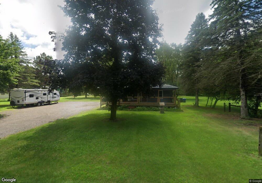
136 Burnside Rd Unit Bldg-Unit North Branch, MI 48461
Estimated Value: $212,000 - $242,000
2
Beds
1
Bath
1,008
Sq Ft
$219/Sq Ft
Est. Value
About This Home
This home is located at 136 Burnside Rd Unit Bldg-Unit, North Branch, MI 48461 and is currently estimated at $221,233, approximately $219 per square foot. 136 Burnside Rd Unit Bldg-Unit is a home located in Lapeer County with nearby schools including North Branch Elementary School, Ruth Fox Middle School, and North Branch Middle School.
Ownership History
Date
Name
Owned For
Owner Type
Purchase Details
Closed on
Oct 30, 2025
Sold by
Frisch Edward L and Frisch Kassondra
Bought by
Davis Brayden
Current Estimated Value
Home Financials for this Owner
Home Financials are based on the most recent Mortgage that was taken out on this home.
Original Mortgage
$205,500
Outstanding Balance
$205,305
Interest Rate
6.26%
Mortgage Type
New Conventional
Estimated Equity
$15,928
Purchase Details
Closed on
Jun 21, 2018
Sold by
Sullivan Daniel B
Bought by
Frisch Edward L and Frisch Kassondra
Home Financials for this Owner
Home Financials are based on the most recent Mortgage that was taken out on this home.
Original Mortgage
$146,349
Interest Rate
4.5%
Mortgage Type
New Conventional
Purchase Details
Closed on
Jun 4, 2018
Sold by
Sullivan Daniel B
Bought by
Frisch Edward L and Frisch Kassondra
Home Financials for this Owner
Home Financials are based on the most recent Mortgage that was taken out on this home.
Original Mortgage
$146,349
Interest Rate
4.5%
Mortgage Type
New Conventional
Purchase Details
Closed on
Jan 18, 2017
Sold by
Gmoril Llc
Bought by
Sullivan Daniel B
Purchase Details
Closed on
May 1, 1989
Create a Home Valuation Report for This Property
The Home Valuation Report is an in-depth analysis detailing your home's value as well as a comparison with similar homes in the area
Home Values in the Area
Average Home Value in this Area
Purchase History
| Date | Buyer | Sale Price | Title Company |
|---|---|---|---|
| Davis Brayden | $218,000 | None Listed On Document | |
| Frisch Edward L | $144,900 | New Title Company Name | |
| Frisch Edward L | $144,900 | Paramount Title Corp. | |
| Frisch Edward L | $144,900 | New Title Company Name | |
| Sullivan Daniel B | $39,000 | -- | |
| -- | $50,000 | -- | |
| -- | $50,000 | -- |
Source: Public Records
Mortgage History
| Date | Status | Borrower | Loan Amount |
|---|---|---|---|
| Open | Davis Brayden | $205,500 | |
| Previous Owner | Frisch Edward L | $146,349 | |
| Previous Owner | Frisch Edward L | $146,349 |
Source: Public Records
Tax History
| Year | Tax Paid | Tax Assessment Tax Assessment Total Assessment is a certain percentage of the fair market value that is determined by local assessors to be the total taxable value of land and additions on the property. | Land | Improvement |
|---|---|---|---|---|
| 2025 | $1,944 | $104,600 | $0 | $0 |
| 2024 | $682 | $95,400 | $0 | $0 |
| 2023 | $651 | $81,600 | $0 | $0 |
| 2022 | $1,771 | $72,400 | $0 | $0 |
| 2021 | $1,505 | $64,700 | $0 | $0 |
| 2020 | $1,495 | $65,500 | $0 | $0 |
| 2019 | $1,507 | $54,700 | $0 | $0 |
| 2018 | $1,357 | $48,900 | $0 | $48,900 |
| 2017 | $1,271 | $27,200 | $0 | $0 |
| 2016 | $784 | $27,400 | $27,400 | $0 |
| 2015 | -- | $29,700 | $0 | $0 |
| 2014 | -- | $29,400 | $29,400 | $0 |
| 2013 | -- | $27,800 | $27,800 | $0 |
Source: Public Records
Map
Nearby Homes
- 6179 Falkenbury Rd
- 6191 Falkenbury Rd
- 6438 N Lapeer Rd
- 0000 N Lapeer Rd N Lapeer Rd
- 267 W Barnes Lake Rd
- 1259 Lakeshore Dr
- 6449 Oliver Rd
- 0 Fonda Dr
- 710 Lakeshore Dr
- 494 W Barnes Lake Rd
- 10.10 ACRES Laur Rd
- 3419 Burnside Rd
- 757 W Barnes Lake Rd
- 4991 Millis Rd
- 2428 Burnside Rd
- 4662 N Lapeer Rd
- 6072 Fish Lake Rd
- 2538 Burnside Rd
- 5435 Snow Den Trail
- 4422 N Lapeer Rd
- 148 Burnside Rd
- 148 Burnside Rd
- 131 Burnside Rd
- 150 Burnside Rd
- 139 Burnside Rd
- 116 Burnside Rd
- 116 Burnside Rd
- 119 Burnside Rd
- 111 Burnside Rd
- 100 Burnside Rd
- 101 Burnside Rd
- 90 Burnside Rd
- 143 Burnside Rd
- 82 Burnside Rd
- 145 Burnside Rd
- 91 Burnside Rd
- 147 Burnside Rd
- 72 Burnside Rd
- 72 Burnside Rd
- 83 Burnside Rd
Your Personal Tour Guide
Ask me questions while you tour the home.