136 Captain Eames Cir Ashland, MA 01721
Estimated Value: $469,734 - $552,000
2
Beds
3
Baths
1,414
Sq Ft
$354/Sq Ft
Est. Value
About This Home
This home is located at 136 Captain Eames Cir, Ashland, MA 01721 and is currently estimated at $500,684, approximately $354 per square foot. 136 Captain Eames Cir is a home located in Middlesex County with nearby schools including William Pittaway Elementary School, Henry E. Warren Elementary School, and David Mindess Elementary School.
Ownership History
Date
Name
Owned For
Owner Type
Purchase Details
Closed on
Sep 2, 1998
Sold by
Denaro Victor A and Chappell-Denaro Lacey
Bought by
Oklander Igor
Current Estimated Value
Home Financials for this Owner
Home Financials are based on the most recent Mortgage that was taken out on this home.
Original Mortgage
$170,000
Interest Rate
6.9%
Mortgage Type
Purchase Money Mortgage
Create a Home Valuation Report for This Property
The Home Valuation Report is an in-depth analysis detailing your home's value as well as a comparison with similar homes in the area
Home Values in the Area
Average Home Value in this Area
Purchase History
We collect this data history from publicly available records. To have your information removed, we recommend requesting removal directly through your county’s website.
| Date | Buyer | Sale Price | Title Company |
|---|---|---|---|
| Oklander Igor | $170,000 | -- |
Source: Public Records
Mortgage History
We collect this data history from publicly available records. To have your information removed, we recommend requesting removal directly through your county’s website.
| Date | Status | Borrower | Loan Amount |
|---|---|---|---|
| Open | Oklander Igor | $137,000 | |
| Closed | Oklander Igor | $170,000 |
Source: Public Records
Tax History
| Year | Tax Paid | Tax Assessment Tax Assessment Total Assessment is a certain percentage of the fair market value that is determined by local assessors to be the total taxable value of land and additions on the property. | Land | Improvement |
|---|---|---|---|---|
| 2025 | $5,526 | $432,700 | $0 | $432,700 |
| 2024 | $5,467 | $412,900 | $0 | $412,900 |
| 2023 | $5,179 | $376,100 | $0 | $376,100 |
| 2022 | $5,255 | $330,900 | $0 | $330,900 |
| 2021 | $4,956 | $311,080 | $0 | $311,080 |
| 2020 | $4,707 | $291,300 | $0 | $291,300 |
| 2019 | $4,466 | $274,300 | $0 | $274,300 |
| 2018 | $4,227 | $254,500 | $0 | $254,500 |
| 2017 | $3,968 | $237,600 | $0 | $237,600 |
| 2016 | $3,798 | $223,400 | $0 | $223,400 |
| 2015 | $3,767 | $217,756 | $0 | $217,756 |
| 2014 | $3,688 | $212,100 | $0 | $212,100 |
Source: Public Records
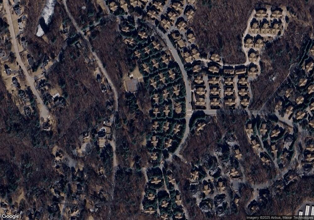
Map
Nearby Homes
- 262 Captain Eames Cir
- 156 Algonquin Trail
- 73 Half Crown Cir
- 207 Eliot St
- 131 America Blvd Unit 131
- 291 America Blvd Unit 291
- 32 Sherborne Cir
- 3 Shady Hollow Path
- 233 Meeting House Path Unit 233
- 146 Mountain Gate Rd
- 25 Prospect St
- 9 Running Brook Cir
- 439 America Blvd Unit 439
- 431 America Blvd Unit 431
- 18 Sunset Rd
- 72 Eliot St
- 219 Prospect St
- 147 Turner Rd Unit 73
- 152 Turner Rd Unit 52
- 152 Turner Rd Unit 3
- 154 Captain Eames Cir
- 152 Captain Eames Cir
- 134 Captain Eames Cir
- 128 Captain Eames Cir
- 150 Captain Eames Cir
- 148 Captain Eames Cir
- 126 Captain Eames Cir
- 150 Captain Eames Cir Unit 150
- 148 Captain Eames Cir Unit D8,148
- 150 Captain Eames Cir Unit 8C,150
- 148 Captain Eames Cir Unit D-8
- 148 Captain Eames Cir Unit 148
- 108 Captain Eames Cir
- 132 Captain Eames Cir
- 130 Captain Eames Cir
- 106 Captain Eames Cir
- 132 Captain Eames Cir Unit 132/ 6C
- 158 Captain Eames Cir
- 178 Captain Eames Cir
- 176 Captain Eames Cir
Your Personal Tour Guide
Ask me questions while you tour the home.