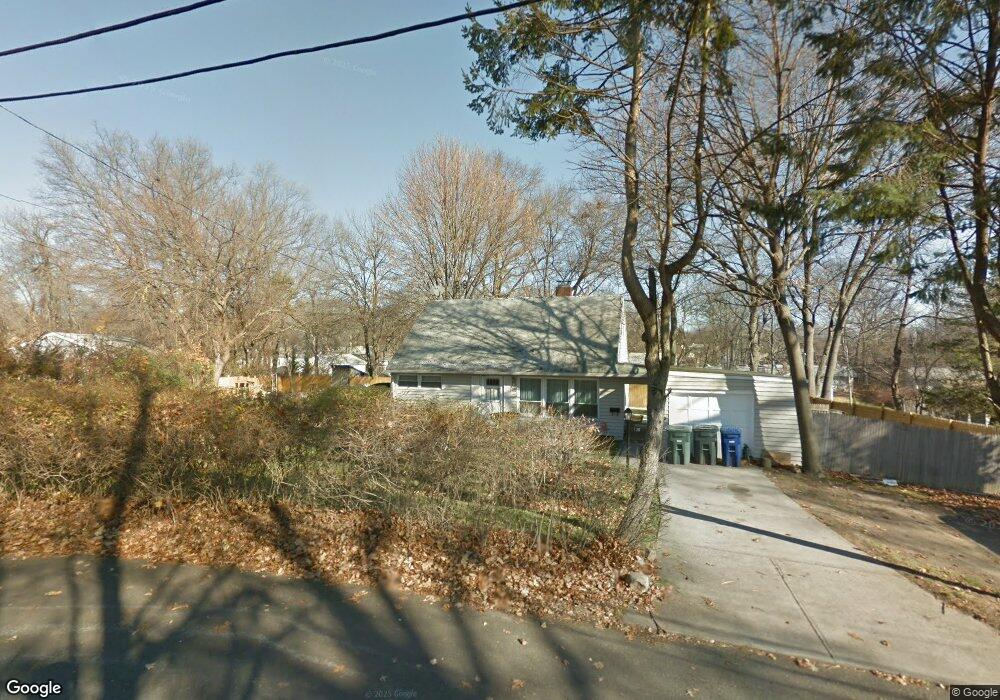
136 Dobson St Bridgeport, CT 06606
North End NeighborhoodEstimated Value: $399,000 - $436,000
About This Home
This home is located at 136 Dobson St, Bridgeport, CT 06606 and is currently estimated at $415,704, approximately $333 per square foot. 136 Dobson St is a home located in Fairfield County with nearby schools including John Winthrop School, Central High School, and St Andrew School.
Ownership History
We collect this data history from publicly available records. To have your information removed, we recommend requesting removal directly through your county’s website.
Purchase Details
Home Values in the Area
Average Home Value in this Area
Purchase History
We collect this data history from publicly available records. To have your information removed, we recommend requesting removal directly through your county’s website.
| Date | Buyer | Sale Price | Title Company |
|---|---|---|---|
| $247,900 | -- |
Tax History
We collect this data history from publicly available records. To have your information removed, we recommend requesting removal directly through your county’s website.
| Year | Tax Paid | Tax Assessment Tax Assessment Total Assessment is a certain percentage of the fair market value that is determined by local assessors to be the total taxable value of land and additions on the property. | Land | Improvement |
|---|---|---|---|---|
| 2025 | $6,383 | $146,900 | $93,670 | $53,230 |
| 2024 | $6,383 | $146,900 | $93,670 | $53,230 |
| 2023 | $6,383 | $146,900 | $93,670 | $53,230 |
| 2022 | $6,383 | $146,900 | $93,670 | $53,230 |
| 2021 | $6,383 | $146,900 | $93,670 | $53,230 |
| 2020 | $6,843 | $126,750 | $73,470 | $53,280 |
| 2019 | $6,843 | $126,750 | $73,470 | $53,280 |
| 2018 | $6,891 | $126,750 | $73,470 | $53,280 |
| 2017 | $6,891 | $126,750 | $73,470 | $53,280 |
| 2016 | $6,891 | $126,750 | $73,470 | $53,280 |
| 2015 | $5,961 | $141,260 | $72,180 | $69,080 |
| 2014 | $5,961 | $141,260 | $72,180 | $69,080 |
Map
- 217 Macon Dr
- 142 Travis Dr
- 277 Indian Field Rd
- 74 Leonard Dr
- 3395 Old Town Rd
- 10 Lance Cir Unit 10
- 3370 Madison Ave Unit 2B
- 3370 Madison Ave Unit 10B
- 200 Little Deer Rd
- 380 Anton Dr Unit 380
- 143 Ranch Dr
- 110 Minturn Rd
- 4949 Main St
- 50 Greenhouse Rd Unit 57D
- 50 Greenhouse Rd Unit 10A
- 50 Greenhouse Rd Unit 41D
- 247 Eckart St
- 3100 Madison Ave Unit 2
- 112 Ochsner Place
- 12 Chatfield Dr
Ask me questions while you tour the home.