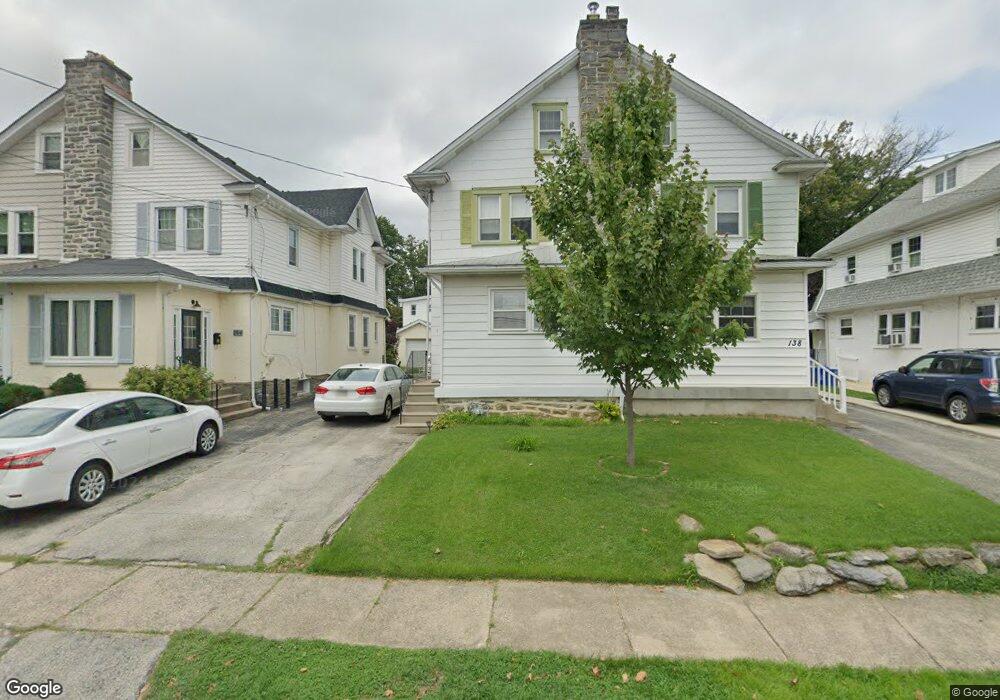
136 E Marthart Ave Havertown, PA 19083
Estimated Value: $372,000 - $445,000
About This Home
This home is located at 136 E Marthart Ave, Havertown, PA 19083 and is currently estimated at $417,042, approximately $319 per square foot. 136 E Marthart Ave is a home located in Delaware County with nearby schools including Chestnutwold Elementary School, Haverford Middle School, and Haverford Senior High School.
Ownership History
We collect this data history from publicly available records. To have your information removed, we recommend requesting removal directly through your county’s website.
Purchase Details
Home Financials for this Owner
Home Financials are based on the most recent Mortgage that was taken out on this home.Home Values in the Area
Average Home Value in this Area
Purchase History
We collect this data history from publicly available records. To have your information removed, we recommend requesting removal directly through your county’s website.
| Date | Buyer | Sale Price | Title Company |
|---|---|---|---|
| -- | -- |
Mortgage History
We collect this data history from publicly available records. To have your information removed, we recommend requesting removal directly through your county’s website.
| Date | Status | Borrower | Loan Amount |
|---|---|---|---|
| Closed | $90,000 |
Tax History
We collect this data history from publicly available records. To have your information removed, we recommend requesting removal directly through your county’s website.
| Year | Tax Paid | Tax Assessment Tax Assessment Total Assessment is a certain percentage of the fair market value that is determined by local assessors to be the total taxable value of land and additions on the property. | Land | Improvement |
|---|---|---|---|---|
| 2026 | $6,653 | $237,020 | $94,090 | $142,930 |
| 2025 | $6,094 | $237,020 | $94,090 | $142,930 |
| 2024 | $6,094 | $237,020 | $94,090 | $142,930 |
| 2023 | $5,921 | $237,020 | $94,090 | $142,930 |
| 2022 | $5,783 | $237,020 | $94,090 | $142,930 |
| 2021 | $9,421 | $237,020 | $94,090 | $142,930 |
| 2020 | $5,168 | $111,200 | $47,650 | $63,550 |
| 2019 | $5,073 | $111,200 | $47,650 | $63,550 |
| 2018 | $4,986 | $111,200 | $0 | $0 |
| 2017 | $4,881 | $111,200 | $0 | $0 |
| 2016 | $610 | $111,200 | $0 | $0 |
| 2015 | $610 | $111,200 | $0 | $0 |
| 2014 | $610 | $111,200 | $0 | $0 |
Map
- 1811 Winton Ave
- 226 E Benedict Ave
- 231 Hastings Ave
- 11 Golf Rd
- 112 Strathmore Rd
- 1801 Hawthorne Ave
- 425 Campbell Ave
- 2398 Hollis Rd
- 1118 Allston Rd
- 25 Oak Ln
- 102 Pennsylvania Ave
- 1901 Pennview Ave
- 410 E Eagle Rd
- 422 E Eagle Rd
- 570 Strathmore Rd
- 219 Oxford Rd
- 1914 Belvedere Ave
- 320 Lenox Rd
- 2316 Kenilworth Rd
- 217 Harvard Rd
- 147 E Marthart Ave
- 149 E Marthart Ave
- 151 E Marthart Ave
- 139 E Marthart Ave
- 201 E Marthart Ave
- 135 E Marthart Ave
- 133 E Marthart Ave
- 142 E Marthart Ave
- 146 E Marthart Ave
- 140 E Marthart Ave
- 148 E Marthart Ave
- 138 E Marthart Ave
- 209 E Marthart Ave
- 134 E Marthart Ave
- 127 E Marthart Ave
- 200 E Marthart Ave
- 132 E Marthart Ave
- 202 E Marthart Ave
- 130 E Marthart Ave
- 215 E Marthart Ave
Ask me questions while you tour the home.