136 Lentz Rd Winlock, WA 98596
Estimated Value: $565,000 - $598,176
4
Beds
2
Baths
3,188
Sq Ft
$181/Sq Ft
Est. Value
About This Home
This home is located at 136 Lentz Rd, Winlock, WA 98596 and is currently estimated at $576,794, approximately $180 per square foot. 136 Lentz Rd is a home located in Lewis County with nearby schools including Evaline Elementary School.
Ownership History
Date
Name
Owned For
Owner Type
Purchase Details
Closed on
Jan 1, 2022
Sold by
Weyerhaeuser Company
Bought by
Weyerhaeuser Timber Holding Inc
Current Estimated Value
Purchase Details
Closed on
Jul 14, 2008
Sold by
Dodson John D and Dodson Margaret A
Bought by
Parker Michael K and Parker Marci N
Home Financials for this Owner
Home Financials are based on the most recent Mortgage that was taken out on this home.
Original Mortgage
$250,502
Interest Rate
6.07%
Mortgage Type
VA
Create a Home Valuation Report for This Property
The Home Valuation Report is an in-depth analysis detailing your home's value as well as a comparison with similar homes in the area
Purchase History
| Date | Buyer | Sale Price | Title Company |
|---|---|---|---|
| Weyerhaeuser Timber Holding Inc | -- | Land Title | |
| Parker Michael K | $242,500 | Multiple |
Source: Public Records
Mortgage History
| Date | Status | Borrower | Loan Amount |
|---|---|---|---|
| Previous Owner | Parker Michael K | $250,502 |
Source: Public Records
Tax History
| Year | Tax Paid | Tax Assessment Tax Assessment Total Assessment is a certain percentage of the fair market value that is determined by local assessors to be the total taxable value of land and additions on the property. | Land | Improvement |
|---|---|---|---|---|
| 2025 | $3,136 | $460,800 | $152,300 | $308,500 |
| 2024 | $3,136 | $449,600 | $119,000 | $330,600 |
| 2023 | $2,708 | $414,400 | $97,200 | $317,200 |
| 2022 | $2,392 | $312,100 | $68,000 | $244,100 |
| 2021 | $2,366 | $312,100 | $68,000 | $244,100 |
| 2020 | $2,345 | $280,000 | $61,300 | $218,700 |
| 2019 | $2,084 | $258,100 | $54,500 | $203,600 |
| 2018 | $1,840 | $226,500 | $50,400 | $176,100 |
| 2017 | $1,839 | $207,600 | $50,400 | $157,200 |
| 2016 | $1,654 | $196,200 | $45,000 | $151,200 |
| 2015 | $2,038 | $182,500 | $45,000 | $137,500 |
| 2013 | $2,038 | $167,500 | $45,000 | $122,500 |
Source: Public Records
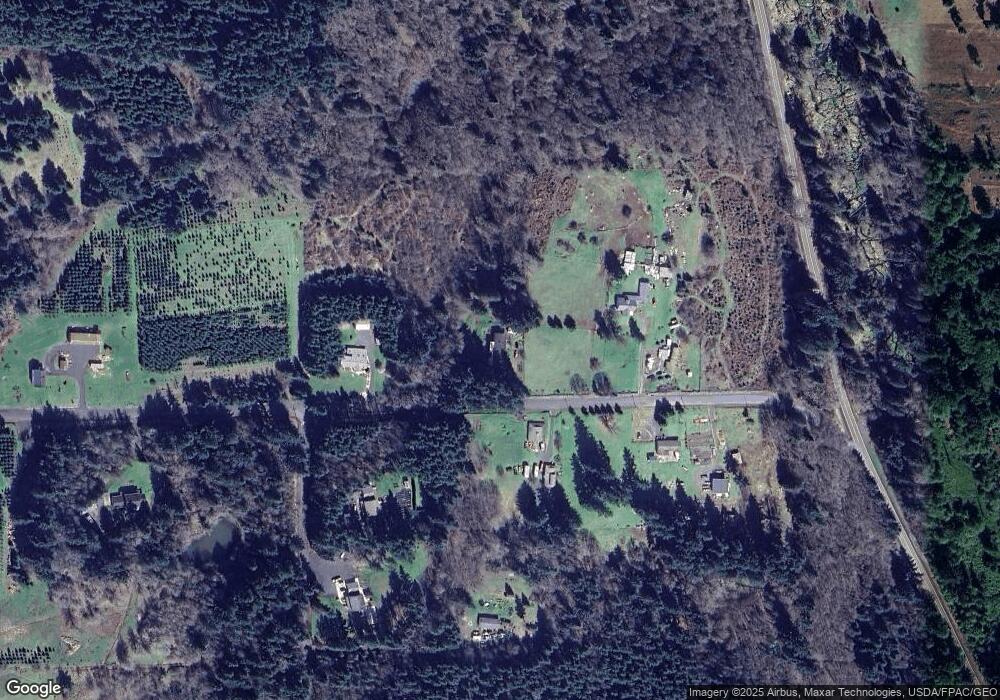
Map
Nearby Homes
- 119 Becker Dr
- 299 Conrad Rd
- 0 Xxx Hale Rd
- 349 Hale Rd W
- 0 XXX Hale Rd
- 1962 Old Highway 603
- 527 Tennessee Rd
- 143 Deer Haven Dr
- 564 W Avery Rd
- 133 Silverthistle Rd
- 131 Silverthistle Rd
- 523 Haywire Rd
- 280 Antrim Rd
- 413 Haywire Rd
- 105 Johnson Rd N
- 112 Topaz Ct
- 380 Hawkins Rd
- 0 Lot 6 Nelson Rd
- 120 Woodberry Ln
- 118 Woodberry Ln
- 131 Lentz Rd
- 124 Lentz Rd
- 121 Lentz Rd
- 109 Rayburn Rd
- 117 Rayburn Rd
- 184 Lentz Rd
- 177 Lentz Rd
- 0 Lentz Rd
- 0 Hawks View Dr
- 0 Rayburn Rd
- 121 Markum Ln
- 155 Rayburn Rd
- 255 Pleasant Valley Rd
- 116 Rayburn Rd W
- 115 Markum Ln
- 793 Avery Rd W
- 132 Rayburn Rd W
- 104 Markum Ln
- 0 Lot 1 Hawks View Dr
- 388 Pleasant Valley Rd
Your Personal Tour Guide
Ask me questions while you tour the home.