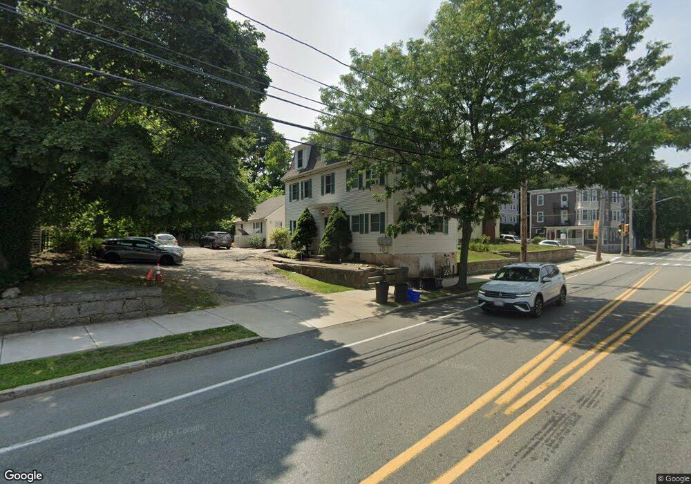
136 Lowell St Peabody, MA 01960
Peabody Town Center NeighborhoodEstimated Value: $969,000 - $1,108,000
6
Beds
4
Baths
3,744
Sq Ft
$271/Sq Ft
Est. Value
About This Home
This home is located at 136 Lowell St, Peabody, MA 01960 and is currently estimated at $1,015,517, approximately $271 per square foot. 136 Lowell St is a home located in Essex County with nearby schools including Peabody Veterans Memorial High School, St John The Baptist School, and Bishop Fenwick High School.
Ownership History
Date
Name
Owned For
Owner Type
Purchase Details
Closed on
Dec 29, 2025
Sold by
Jjam Investments Llc
Bought by
A & P Borges Llc
Current Estimated Value
Home Financials for this Owner
Home Financials are based on the most recent Mortgage that was taken out on this home.
Original Mortgage
$696,500
Outstanding Balance
$694,503
Interest Rate
6.24%
Mortgage Type
Purchase Money Mortgage
Estimated Equity
$321,014
Purchase Details
Closed on
Jul 30, 2013
Sold by
Daddario Ashley and Sellers Jeremy D
Bought by
Jjam Investments Llc
Purchase Details
Closed on
Dec 31, 2008
Sold by
Buckley Margaret M Est and Bishop
Bought by
Daddario Ashley
Home Financials for this Owner
Home Financials are based on the most recent Mortgage that was taken out on this home.
Original Mortgage
$281,386
Interest Rate
6.08%
Mortgage Type
Purchase Money Mortgage
Purchase Details
Closed on
Aug 21, 2003
Sold by
Buckley Stephen and Buckley Margaret M
Bought by
Buckley Margaret
Create a Home Valuation Report for This Property
The Home Valuation Report is an in-depth analysis detailing your home's value as well as a comparison with similar homes in the area
Home Values in the Area
Average Home Value in this Area
Purchase History
| Date | Buyer | Sale Price | Title Company |
|---|---|---|---|
| A & P Borges Llc | $995,000 | -- | |
| Jjam Investments Llc | -- | -- | |
| Daddario Ashley | $285,100 | -- | |
| Buckley Margaret | -- | -- |
Source: Public Records
Mortgage History
| Date | Status | Borrower | Loan Amount |
|---|---|---|---|
| Open | A & P Borges Llc | $696,500 | |
| Previous Owner | Buckley Margaret | $315,000 | |
| Previous Owner | Buckley Margaret | $326,230 | |
| Previous Owner | Buckley Margaret | $281,386 |
Source: Public Records
Tax History
| Year | Tax Paid | Tax Assessment Tax Assessment Total Assessment is a certain percentage of the fair market value that is determined by local assessors to be the total taxable value of land and additions on the property. | Land | Improvement |
|---|---|---|---|---|
| 2025 | $10,139 | $1,094,900 | $224,500 | $870,400 |
| 2024 | $9,063 | $993,800 | $224,500 | $769,300 |
| 2023 | $7,978 | $838,000 | $200,500 | $637,500 |
| 2022 | $8,211 | $813,000 | $179,100 | $633,900 |
| 2021 | $8,032 | $765,700 | $162,800 | $602,900 |
| 2020 | $7,926 | $738,000 | $162,800 | $575,200 |
| 2019 | $7,592 | $689,600 | $162,800 | $526,800 |
| 2018 | $6,997 | $610,600 | $148,000 | $462,600 |
| 2017 | $6,245 | $531,000 | $148,000 | $383,000 |
| 2016 | $6,070 | $509,200 | $148,000 | $361,200 |
| 2015 | $5,435 | $441,900 | $144,300 | $297,600 |
Source: Public Records
Map
Nearby Homes
- 158 Lowell St Unit 4
- 16 Palmer Ave Unit 1
- 171 Lowell St
- 38-1/2 Ellsworth Rd
- 6 Rear Perkins St
- 20 Jennifer Ln
- 7 Hilltop Dr
- 39 Chestnut St
- 4R Forest St
- 6 Munroe St
- 64 Foster St Unit 403
- 16 Tremont St
- 80 Foster St Unit 501
- 80 Foster St Unit 507
- 22 N Central St Unit 5
- 111 Foster St Unit 416
- 98 Foster St
- 46 Walnut St
- 210 Washington St Unit 10
- 18 1/2 Dalton Ct Unit 18 1/2
- 136 Lowell St Unit 3
- 136 Lowell St Unit 1
- 2 King St
- 132 Lowell St
- 4 King St
- 4 King St Unit 1
- 4 King St Unit 2
- 135 Lowell St
- 137 Lowell St
- 7 Kosciusko St
- 6 King St
- 5 Kosciusko St
- 1 King St Unit 302
- 1 King St Unit 301
- 1 King St Unit 202
- 1 King St Unit 201
- 1 King St Unit 102
- 1 King St Unit 101
- 1 King St
- 128 Lowell St
Your Personal Tour Guide
Ask me questions while you tour the home.