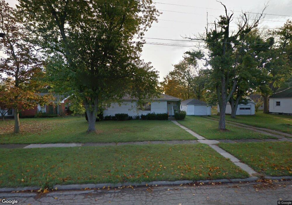
136 N Ruggles St Bronson, MI 49028
Estimated Value: $151,735 - $171,000
3
Beds
2
Baths
1,300
Sq Ft
$125/Sq Ft
Est. Value
About This Home
This home is located at 136 N Ruggles St, Bronson, MI 49028 and is currently estimated at $161,934, approximately $124 per square foot. 136 N Ruggles St is a home located in Branch County with nearby schools including Ryan Elementary School, Anderson Elementary School, and Bronson Junior/Senior High School.
Ownership History
Date
Name
Owned For
Owner Type
Purchase Details
Closed on
Jan 21, 2011
Sold by
Nutt Jack L and Nutt Judith K
Bought by
Hart Christopher L
Current Estimated Value
Home Financials for this Owner
Home Financials are based on the most recent Mortgage that was taken out on this home.
Original Mortgage
$63,000
Outstanding Balance
$42,684
Interest Rate
4.65%
Mortgage Type
New Conventional
Estimated Equity
$119,250
Purchase Details
Closed on
May 20, 2004
Sold by
The Estate Of Josephine Wotta
Bought by
Nutt Jack L and Nutt Judith K
Create a Home Valuation Report for This Property
The Home Valuation Report is an in-depth analysis detailing your home's value as well as a comparison with similar homes in the area
Purchase History
| Date | Buyer | Sale Price | Title Company |
|---|---|---|---|
| Hart Christopher L | $60,000 | Branch County Abstract & Tit | |
| Nutt Jack L | $55,000 | -- |
Source: Public Records
Mortgage History
| Date | Status | Borrower | Loan Amount |
|---|---|---|---|
| Open | Hart Christopher L | $63,000 |
Source: Public Records
Tax History
| Year | Tax Paid | Tax Assessment Tax Assessment Total Assessment is a certain percentage of the fair market value that is determined by local assessors to be the total taxable value of land and additions on the property. | Land | Improvement |
|---|---|---|---|---|
| 2025 | $957 | $43,500 | $0 | $0 |
| 2024 | $9 | $42,500 | $0 | $0 |
| 2023 | $559 | $36,100 | $0 | $0 |
| 2022 | $884 | $34,400 | $0 | $0 |
| 2020 | -- | $28,500 | $0 | $0 |
| 2019 | -- | $24,000 | $0 | $0 |
| 2018 | -- | $21,500 | $0 | $0 |
| 2017 | -- | $21,200 | $0 | $0 |
| 2016 | -- | $20,800 | $0 | $0 |
| 2015 | -- | $18,900 | $0 | $0 |
| 2014 | -- | $18,000 | $0 | $0 |
| 2013 | -- | $19,800 | $0 | $0 |
Source: Public Records
Map
Nearby Homes
- 322 Shaffmaster Blvd
- 509 N Walker St
- 214 E Chicago St
- 155 Winona St
- 644 S Matteson St
- 351 Roosevelt St
- 609 E Railroad St
- 0 Bawden Rd
- 130 Osborn Rd
- 1015 Brink Rd
- 1051 Brink Rd
- 368 Cranson Rd
- 816 S Werners Landing Dr
- 351 Moser Dr
- 141 S Snow Prairie Rd
- 0 N Werners Landing Dr
- 786 W Colon Rd
- 563 W Colon Rd
- 0 Rierson Rd
- 719 Gilead Shores Dr
- 130 N Ruggles St
- 137 N Ruggles St
- 133 N Ruggles St
- 139 N Douglas St
- 131 N Douglas St
- 147 N Douglas St
- 125 N Ruggles St
- 191 N Ruggles St
- 117 N Douglas St
- 417 York St
- 417 York St
- 115 N Ruggles St
- 320 W Chicago St
- 312 W Chicago St
- 206 N Ruggles St
- 412 South St
- 302 W Chicago St
- 407 South St
- 207 N Ruggles St
- 120 N Douglas St
Your Personal Tour Guide
Ask me questions while you tour the home.