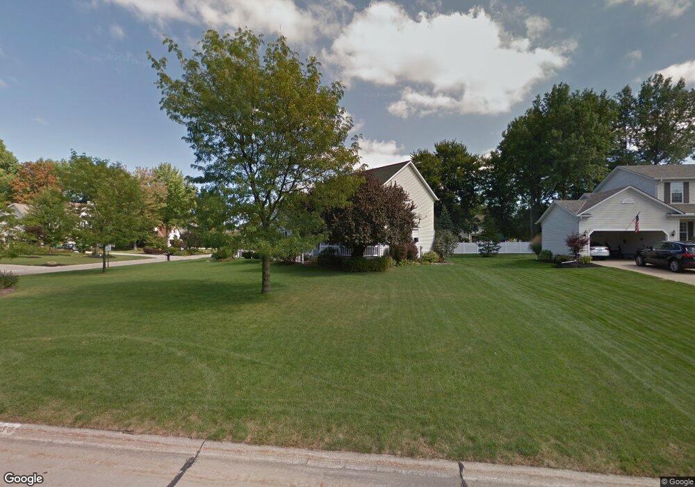
136 Red Pine Dr Painesville, OH 44077
Estimated Value: $298,000 - $336,000
3
Beds
3
Baths
988
Sq Ft
$322/Sq Ft
Est. Value
About This Home
This home is located at 136 Red Pine Dr, Painesville, OH 44077 and is currently estimated at $318,253, approximately $322 per square foot. 136 Red Pine Dr is a home located in Lake County with nearby schools including Henry F. Lamuth Middle School, Riverside Junior/Senior High School, and Summit Academy Community School - Painesville.
Ownership History
Date
Name
Owned For
Owner Type
Purchase Details
Closed on
Oct 17, 2018
Sold by
Stadel Jill A and Stadel Richard D
Bought by
Stadel Family Trust and Stadel Jill A
Current Estimated Value
Home Financials for this Owner
Home Financials are based on the most recent Mortgage that was taken out on this home.
Interest Rate
4.9%
Purchase Details
Closed on
Sep 24, 1997
Sold by
R W Sidley Inc
Bought by
R L Moore Builders Inc
Home Financials for this Owner
Home Financials are based on the most recent Mortgage that was taken out on this home.
Original Mortgage
$142,400
Interest Rate
7.65%
Purchase Details
Closed on
Jan 1, 1990
Bought by
R W Sidley Inc
Create a Home Valuation Report for This Property
The Home Valuation Report is an in-depth analysis detailing your home's value as well as a comparison with similar homes in the area
Home Values in the Area
Average Home Value in this Area
Purchase History
| Date | Buyer | Sale Price | Title Company |
|---|---|---|---|
| Stadel Family Trust | -- | -- | |
| R L Moore Builders Inc | $36,000 | Chicago Title Insurance Comp | |
| R W Sidley Inc | -- | -- |
Source: Public Records
Mortgage History
| Date | Status | Borrower | Loan Amount |
|---|---|---|---|
| Closed | Stadel Family Trust | -- | |
| Previous Owner | R L Moore Builders Inc | $142,400 |
Source: Public Records
Tax History
| Year | Tax Paid | Tax Assessment Tax Assessment Total Assessment is a certain percentage of the fair market value that is determined by local assessors to be the total taxable value of land and additions on the property. | Land | Improvement |
|---|---|---|---|---|
| 2025 | -- | $107,840 | $22,170 | $85,670 |
| 2024 | -- | $107,840 | $22,170 | $85,670 |
| 2023 | $9,260 | $84,980 | $17,710 | $67,270 |
| 2022 | $4,962 | $84,980 | $17,710 | $67,270 |
| 2021 | $4,980 | $84,980 | $17,710 | $67,270 |
| 2020 | $4,905 | $73,900 | $15,400 | $58,500 |
| 2019 | $4,942 | $73,900 | $15,400 | $58,500 |
| 2018 | $4,723 | $64,910 | $20,140 | $44,770 |
| 2017 | $4,489 | $64,910 | $20,140 | $44,770 |
| 2016 | $3,951 | $64,910 | $20,140 | $44,770 |
| 2015 | $3,715 | $64,910 | $20,140 | $44,770 |
| 2014 | $3,777 | $64,910 | $20,140 | $44,770 |
| 2013 | $3,691 | $64,910 | $20,140 | $44,770 |
Source: Public Records
Map
Nearby Homes
- 97 Park Rd
- 1345 Cedar Creek Ct
- 67 Tanners Farm Dr
- 264 Park Rd
- 54 Park Rd
- 140 Parkhall Dr
- 5413 Pebble Creek Ln Unit 58
- 396 Park Rd
- 300 Manhattan Pkwy
- 5223 Queen Ann Way Unit 33
- 180 Radley Dr
- 30 Orton Rd
- V/L Morgan Dr
- 55 Grove Ave
- 79 Hickory Hill Rd
- 1226 Fanwood Ct
- 5690 Canyon View Dr
- 575 Park Rd
- 959 Madison Ave
- 175 Overlook Rd
- 128 Red Pine Dr
- 135 Honey Locust Ct
- 120 Red Pine Dr
- 127 Honey Locust Ct
- 1471 White Ash Dr
- 1461 White Ash Dr
- 1481 White Ash Dr
- 137 Red Pine Dr
- 119 Honey Locust Ct
- 129 Red Pine Dr
- 1487 White Ash Dr
- 110 Red Pine Dr
- 1451 White Ash Dr
- 1495 White Ash Dr
- 111 Red Pine Dr
- 1436 Red Maple Dr
- 115 Honey Locust Ct
- 1486 Willowood Ct
- 1476 Willowood Ct
- 100 Red Pine Dr
Your Personal Tour Guide
Ask me questions while you tour the home.