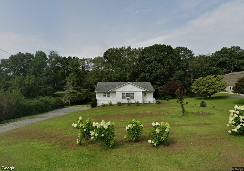
136 Sharon Rd Millerton, NY 12546
North East NeighborhoodEstimated Value: $301,000 - $333,000
3
Beds
2
Baths
944
Sq Ft
$341/Sq Ft
Est. Value
About This Home
This home is located at 136 Sharon Rd, Millerton, NY 12546 and is currently estimated at $322,039, approximately $341 per square foot. 136 Sharon Rd is a home located in Dutchess County with nearby schools including Webutuck Elementary School, Eugene Brooks Intermediate School, and Webutuck High School.
Ownership History
Date
Name
Owned For
Owner Type
Purchase Details
Closed on
Aug 22, 2018
Sold by
Ketchum Philomenal Est and Conway Ex
Bought by
Clark William and Runge-Clark Olivia
Current Estimated Value
Home Financials for this Owner
Home Financials are based on the most recent Mortgage that was taken out on this home.
Original Mortgage
$162,011
Outstanding Balance
$140,296
Interest Rate
4.37%
Mortgage Type
FHA
Estimated Equity
$181,743
Create a Home Valuation Report for This Property
The Home Valuation Report is an in-depth analysis detailing your home's value as well as a comparison with similar homes in the area
Home Values in the Area
Average Home Value in this Area
Purchase History
| Date | Buyer | Sale Price | Title Company |
|---|---|---|---|
| Clark William | $156,000 | -- | |
| Clark William | $156,000 | -- |
Source: Public Records
Mortgage History
| Date | Status | Borrower | Loan Amount |
|---|---|---|---|
| Open | Clark William | $162,011 | |
| Closed | Clark William | $162,011 |
Source: Public Records
Tax History
| Year | Tax Paid | Tax Assessment Tax Assessment Total Assessment is a certain percentage of the fair market value that is determined by local assessors to be the total taxable value of land and additions on the property. | Land | Improvement |
|---|---|---|---|---|
| 2024 | $4,337 | $218,300 | $39,500 | $178,800 |
| 2023 | $3,682 | $211,900 | $39,400 | $172,500 |
| 2022 | $3,658 | $196,200 | $36,500 | $159,700 |
| 2021 | $3,564 | $175,200 | $34,100 | $141,100 |
| 2020 | $4,082 | $170,100 | $36,300 | $133,800 |
| 2019 | $4,019 | $170,100 | $36,300 | $133,800 |
| 2018 | $3,710 | $170,100 | $36,300 | $133,800 |
| 2017 | $2,654 | $170,100 | $36,300 | $133,800 |
| 2016 | $985 | $170,100 | $36,300 | $133,800 |
| 2015 | -- | $170,100 | $36,300 | $133,800 |
| 2014 | -- | $170,100 | $36,300 | $133,800 |
Source: Public Records
Map
Nearby Homes
- 490 Mill St
- 5846 S Elm Ave
- 5 Central Ave
- 24 Dutchess Ave
- 42 Hy Vue Terrace
- 80 Rudd Pond Rd
- 5 Country View Rd
- 4523 Route 199 Unit 45
- 41 Beilke Rd
- 22 Beilke Rd
- 151 Lake Ln
- 5627 Route 22
- 106 Indian Mountain Rd
- 77 Belgo Rd
- 6 Juniper Ledge Ln
- 317 Skunks Misery Rd
- A Skunks Misery Rd
- 5 Valley Rd
- 11 Valley Rd
- 0 Smithfield Rd Unit KEY879008
Your Personal Tour Guide
Ask me questions while you tour the home.