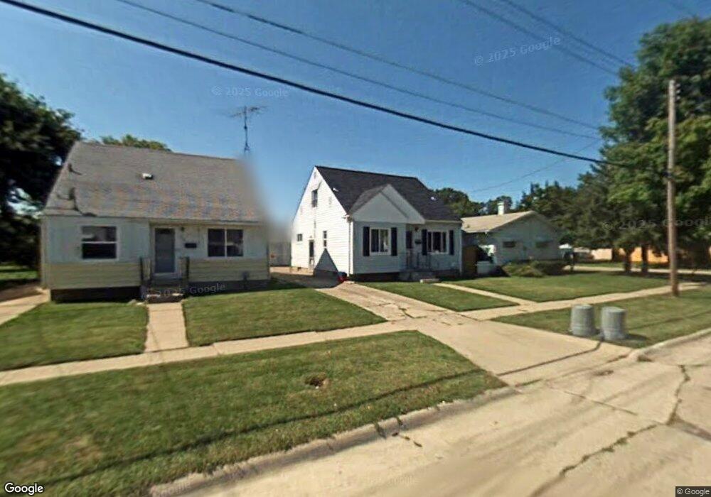
1363 Sutton Ave Flint, MI 48504
Ballenger Highway NeighborhoodEstimated Value: $45,000 - $71,000
3
Beds
2
Baths
996
Sq Ft
$55/Sq Ft
Est. Value
About This Home
This home is located at 1363 Sutton Ave, Flint, MI 48504 and is currently estimated at $54,774, approximately $54 per square foot. 1363 Sutton Ave is a home located in Genesee County with nearby schools including Durant-Tuuri-Mott Elementary School, Greater Heights Academy, and St. Paul Lutheran School.
Ownership History
Date
Name
Owned For
Owner Type
Purchase Details
Closed on
Jul 1, 2011
Sold by
Secretary Of Housing & Urban Development
Bought by
Sheffey Victor
Current Estimated Value
Purchase Details
Closed on
Jul 8, 2010
Sold by
Michigan State Housing Development Autho
Bought by
The Secretary Of Housing & Urban Develop
Purchase Details
Closed on
Jan 6, 2010
Sold by
Schmidt Jennifer M
Bought by
Michigan State Housing Development Autho
Purchase Details
Closed on
May 15, 2000
Sold by
Hardin Florence O
Bought by
Schmidt Jennifer M
Home Financials for this Owner
Home Financials are based on the most recent Mortgage that was taken out on this home.
Original Mortgage
$56,953
Interest Rate
8.21%
Mortgage Type
FHA
Create a Home Valuation Report for This Property
The Home Valuation Report is an in-depth analysis detailing your home's value as well as a comparison with similar homes in the area
Home Values in the Area
Average Home Value in this Area
Purchase History
| Date | Buyer | Sale Price | Title Company |
|---|---|---|---|
| Sheffey Victor | $10,000 | None Available | |
| The Secretary Of Housing & Urban Develop | -- | None Available | |
| Michigan State Housing Development Autho | $56,008 | None Available | |
| Schmidt Jennifer M | $57,000 | Greco Title |
Source: Public Records
Mortgage History
| Date | Status | Borrower | Loan Amount |
|---|---|---|---|
| Previous Owner | Schmidt Jennifer M | $56,953 |
Source: Public Records
Tax History
| Year | Tax Paid | Tax Assessment Tax Assessment Total Assessment is a certain percentage of the fair market value that is determined by local assessors to be the total taxable value of land and additions on the property. | Land | Improvement |
|---|---|---|---|---|
| 2025 | $988 | $19,900 | $0 | $0 |
| 2024 | $919 | $14,700 | $0 | $0 |
| 2023 | $901 | $14,000 | $0 | $0 |
| 2022 | $0 | $13,700 | $0 | $0 |
| 2021 | $911 | $12,600 | $0 | $0 |
| 2020 | $842 | $10,200 | $0 | $0 |
| 2019 | $826 | $8,600 | $0 | $0 |
| 2018 | $947 | $10,400 | $0 | $0 |
| 2017 | $835 | $0 | $0 | $0 |
| 2016 | $865 | $0 | $0 | $0 |
| 2015 | -- | $0 | $0 | $0 |
| 2012 | -- | $17,300 | $0 | $0 |
Source: Public Records
Map
Nearby Homes
- 3101 Barth St
- 3228 Wolcott St
- 2944 Wolcott St
- 3021 Clement St
- 0 Donaldson St
- 2918 Mackin Rd
- 2902 Prospect St
- 1133 Donaldson St
- 3310 Concord St
- 1221 Eldorado Dr
- 1402 Lavender Ave
- 2112 Winona St
- 2038 Copeman Blvd
- 3071 Devonshire St
- 1271 Donaldson St
- 3120 Stratford St
- 2302 Copeman Blvd
- 2622 Concord St
- 1220 Forest Hill Ave
- 2612 Concord St
- 3101 Prospect St
- 1359 Sutton Ave
- 3111 Prospect St
- 1355 Sutton Ave
- 3115 Prospect St
- 3102 Wolcott St
- 1401 Sutton Ave
- 1368 Sutton Ave
- 1352 Sutton Ave
- 3119 Prospect St
- 1356 Sutton Ave
- 3112 Prospect St
- 1405 Sutton Ave
- 1317 Sutton Ave
- 3127 Prospect St
- 3041 Prospect St
- 3026 Prospect St
- 3128 Wolcott St
- 3120 Prospect St
- 3022 Wolcott St
Your Personal Tour Guide
Ask me questions while you tour the home.