137 S Highway 47 Hawk Point, MO 63349
Estimated Value: $242,000 - $595,260
About This Home
This home is located at 137 S Highway 47, Hawk Point, MO 63349 and is currently estimated at $369,065, approximately $197 per square foot. 137 S Highway 47 is a home located in Lincoln County with nearby schools including Hawk Point Elementary School, Troy Middle School, and Troy Buchanan High School.
Ownership History
We collect this data history from publicly available records. To have your information removed, we recommend requesting removal directly through your county’s website.
Purchase Details
Home Financials for this Owner
Home Financials are based on the most recent Mortgage that was taken out on this home.Purchase History
We collect this data history from publicly available records. To have your information removed, we recommend requesting removal directly through your county’s website.
| Date | Buyer | Sale Price | Title Company |
|---|---|---|---|
| -- | Meyer Title Company |
Mortgage History
We collect this data history from publicly available records. To have your information removed, we recommend requesting removal directly through your county’s website.
| Date | Status | Borrower | Loan Amount |
|---|---|---|---|
| Open | $501,000 |
Tax History
We collect this data history from publicly available records. To have your information removed, we recommend requesting removal directly through your county’s website.
| Year | Tax Paid | Tax Assessment Tax Assessment Total Assessment is a certain percentage of the fair market value that is determined by local assessors to be the total taxable value of land and additions on the property. | Land | Improvement |
|---|---|---|---|---|
| 2025 | $2,908 | $52,224 | $10,718 | $41,506 |
| 2024 | $2,783 | $45,097 | $7,885 | $37,212 |
| 2023 | $2,768 | $49,392 | $10,933 | $38,460 |
| 2022 | $2,636 | $43,241 | $7,885 | $35,356 |
| 2021 | $2,649 | $196,590 | $0 | $0 |
| 2020 | $2,280 | $168,528 | $0 | $0 |
| 2019 | $2,283 | $168,528 | $0 | $0 |
| 2018 | $2,436 | $39,876 | $0 | $0 |
| 2017 | $2,443 | $39,876 | $0 | $0 |
| 2016 | $2,211 | $35,359 | $0 | $0 |
| 2015 | $2,218 | $35,359 | $0 | $0 |
| 2014 | $1,031 | $16,402 | $0 | $0 |
| 2013 | -- | $16,402 | $0 | $0 |
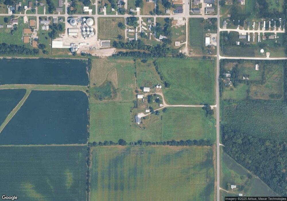
Map
- 220 W Lincoln St
- 256 Walnut St
- 4 Ashley Ln
- 20 Valley Ridge Ct
- 339 White Rd
- 140 Turkey Creek Crossing Dr
- 2 Country Ridge Trail
- 20 Chinkapin Ct
- 298 Hawkeye Dr
- 161 Bethel Rd
- 10 Parc Forest Trail
- 804 Timber Creek Ct
- 401 Deep Forest Dr
- 89
- 89 Zips Rd
- 299 Heady Spring Ln
- 64 Mocking Bird Ln
- 000 Linns Mill Rd
- 104 Spring Lake Ct
- 133 Bristol Ridge Dr
- 546 Chestnut St
- 517 Chestnut St
- 38 + - N Tunnel Rd
- 474 Walnut St
- 269 Washington St
- 475 Walnut St
- 132 Washington St
- 479 Washington St
- 465 Walnut St
- 42 Lot 42
- 104 Saint Michele St
- 771 Washington St
- 440 Cedar St
- 348 W Lincoln St
- 419 Chestnut St
- 108 Saint Michele St
- 573 Maple St
- 80 S Highway 47
- 346 W Lincoln St
- 108 St Michelle St
Ask me questions while you tour the home.