137 Stoddard Rd Lakeside, CT 06758
Estimated Value: $692,499 - $1,044,000
3
Beds
3
Baths
3,544
Sq Ft
$235/Sq Ft
Est. Value
About This Home
This home is located at 137 Stoddard Rd, Lakeside, CT 06758 and is currently estimated at $834,166, approximately $235 per square foot. 137 Stoddard Rd is a home located in Litchfield County with nearby schools including Lakeview High School.
Ownership History
Date
Name
Owned For
Owner Type
Purchase Details
Closed on
Dec 5, 2017
Sold by
Cattey Michael
Bought by
Cattey Tiffany
Current Estimated Value
Purchase Details
Closed on
Apr 5, 2013
Sold by
Stoddard Jane
Bought by
Cattey Tiffany and Cattey Michael
Create a Home Valuation Report for This Property
The Home Valuation Report is an in-depth analysis detailing your home's value as well as a comparison with similar homes in the area
Home Values in the Area
Average Home Value in this Area
Purchase History
| Date | Buyer | Sale Price | Title Company |
|---|---|---|---|
| Cattey Tiffany | -- | -- | |
| Cattey Tiffany | -- | -- |
Source: Public Records
Mortgage History
| Date | Status | Borrower | Loan Amount |
|---|---|---|---|
| Previous Owner | Cattey Tiffany | $30,000 | |
| Previous Owner | Cattey Tiffany | $282,000 | |
| Previous Owner | Cattey Tiffany | $250,000 |
Source: Public Records
Tax History
| Year | Tax Paid | Tax Assessment Tax Assessment Total Assessment is a certain percentage of the fair market value that is determined by local assessors to be the total taxable value of land and additions on the property. | Land | Improvement |
|---|---|---|---|---|
| 2025 | $6,841 | $352,090 | $140,260 | $211,830 |
| 2024 | $6,190 | $352,090 | $140,260 | $211,830 |
| 2023 | $6,443 | $352,090 | $140,260 | $211,830 |
| 2022 | $6,671 | $278,070 | $122,750 | $155,320 |
| 2021 | $6,849 | $278,070 | $122,750 | $155,320 |
| 2020 | $6,999 | $278,070 | $122,750 | $155,320 |
| 2019 | $7,380 | $278,070 | $122,750 | $155,320 |
| 2018 | $7,388 | $278,070 | $122,750 | $155,320 |
| 2017 | $8,673 | $302,510 | $128,880 | $173,630 |
| 2016 | $8,419 | $302,510 | $128,880 | $173,630 |
| 2015 | $7,841 | $302,510 | $128,880 | $173,630 |
| 2014 | $7,239 | $323,440 | $140,880 | $182,560 |
Source: Public Records
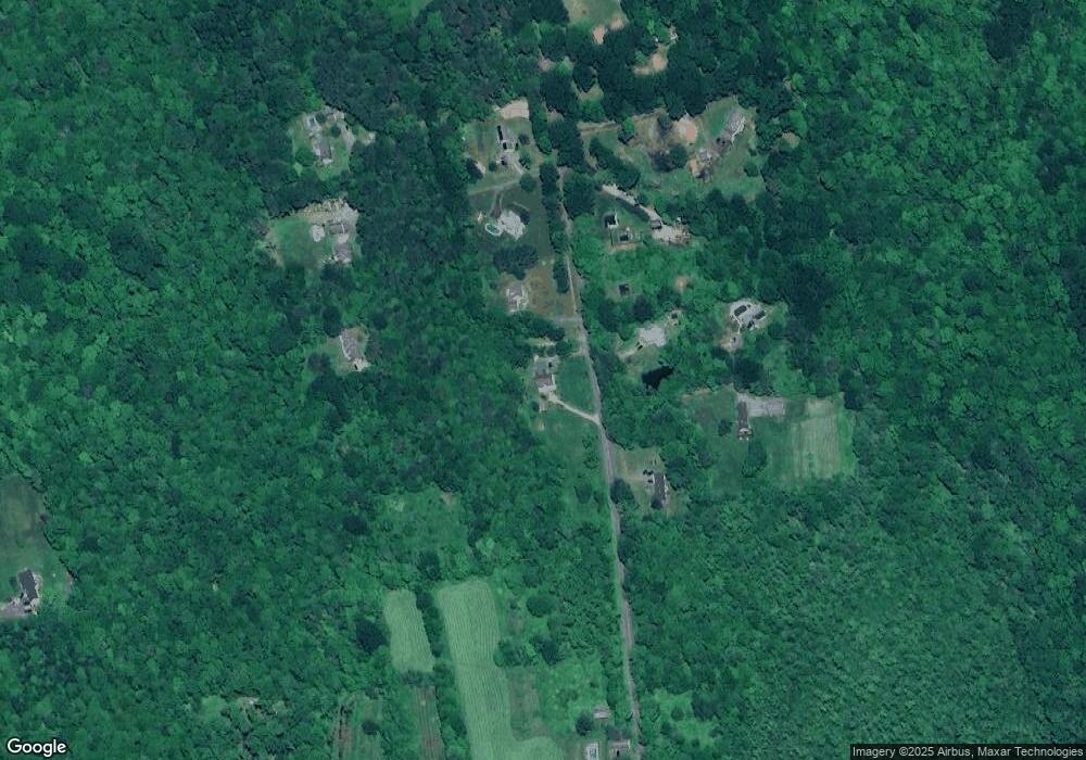
Map
Nearby Homes
- 254 Stoddard Rd
- 262 Stoddard Rd
- 44 Bantam Lake Heights
- 90 Island Trail
- 45 Hill Top Rd
- 273 Bantam Lake Rd
- 7 Hill Top Rd
- 98 Island Trail
- 298 Kenyon Rd
- 424 Bantam Lake Rd
- 429 Lakeside Rd
- 17 Marsh Point
- 184 Todd Hill Rd
- 64 Old Turnpike Rd
- 29 Roosevelt Ave
- 1222 Bantam Rd
- 21 Long Meadow Rd
- 38 Old Turnpike Rd
- 28 Trumbull St
- 26 Seminole Cir
- 89 Stoddard Rd
- 143 Stoddard Rd
- 143 Stoddard Rd
- 153 Stoddard Rd
- 153 Stoddard Rd
- 149 Stoddard Rd
- 150 Stoddard Rd
- 192 Stoddard Rd
- 184 Stoddard Rd
- 136 Stoddard Rd
- 132 Stoddard Rd
- 122 Stoddard Rd
- 14 Curtiss Hill Rd
- 114 Curtiss Hill Rd
- 14 Curtiss Hill Rd
- 28 Curtiss Hill Rd
- 130 Stoddard Rd
- 18 Curtiss Hill Rd
- 96 Stoddard Rd
- 22 Burgess Rd
Your Personal Tour Guide
Ask me questions while you tour the home.