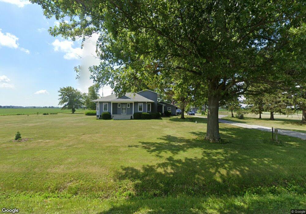
1373 2250th St Atlanta, IL 61723
Estimated Value: $153,000 - $249,000
Studio
--
Bath
--
Sq Ft
3.58
Acres Lot
About This Home
This home is located at 1373 2250th St, Atlanta, IL 61723 and is currently estimated at $192,739. 1373 2250th St is a home located in Logan County with nearby schools including Chester-East Lincoln Elementary School and Lincoln Community High School.
Ownership History
Date
Name
Owned For
Owner Type
Purchase Details
Closed on
Aug 7, 2020
Sold by
Aderman Kathy
Bought by
Bing Dennis and Bing Stephanie
Current Estimated Value
Home Financials for this Owner
Home Financials are based on the most recent Mortgage that was taken out on this home.
Original Mortgage
$135,100
Outstanding Balance
$119,843
Interest Rate
3%
Mortgage Type
New Conventional
Estimated Equity
$72,896
Purchase Details
Closed on
Oct 28, 1985
Sold by
Aderman Kenny and Aderman Kathy
Bought by
Aderman Kenny N and Aderman Kathy
Create a Home Valuation Report for This Property
The Home Valuation Report is an in-depth analysis detailing your home's value as well as a comparison with similar homes in the area
Purchase History
| Date | Buyer | Sale Price | Title Company |
|---|---|---|---|
| Bing Dennis | $193,000 | None Available | |
| Aderman Kenny N | $49,500 | -- |
Source: Public Records
Mortgage History
| Date | Status | Borrower | Loan Amount |
|---|---|---|---|
| Open | Bing Dennis | $135,100 |
Source: Public Records
Tax History
| Year | Tax Paid | Tax Assessment Tax Assessment Total Assessment is a certain percentage of the fair market value that is determined by local assessors to be the total taxable value of land and additions on the property. | Land | Improvement |
|---|---|---|---|---|
| 2024 | $2,966 | $49,020 | $6,720 | $42,300 |
| 2023 | $2,747 | $45,390 | $6,220 | $39,170 |
| 2022 | $2,562 | $42,320 | $5,800 | $36,520 |
| 2021 | $2,457 | $40,740 | $5,580 | $35,160 |
| 2020 | $2,132 | $40,740 | $5,580 | $35,160 |
| 2019 | $2,138 | $40,740 | $5,580 | $35,160 |
| 2018 | $2,050 | $39,180 | $5,370 | $33,810 |
| 2017 | $2,065 | $39,180 | $5,370 | $33,810 |
| 2016 | $2,102 | $39,640 | $5,430 | $34,210 |
| 2015 | $1,946 | $38,910 | $5,930 | $32,980 |
| 2014 | $1,946 | $38,910 | $5,930 | $32,980 |
| 2013 | $1,946 | $35,910 | $5,470 | $30,440 |
| 2012 | $1,946 | $36,430 | $5,550 | $30,880 |
Source: Public Records
Map
Nearby Homes
- 1401 1950th St
- 12 Pheasant Rd
- 1842 Castle Pine Place
- 1350th Ave
- 1881 Old State Route 121
- 1779 1250th Ave
- 2344 Railsplitter Ave
- 2294 Railsplitter Ave
- 180 Regent St
- 207 SW 6th St
- 1412 N Union St
- 355 Mcdivitt Ave
- 325 Mcdivitt Ave
- 304 SW Arch St
- 515 Oglesby Ave
- 701 21st St
- 610 SE Vine St
- 619 N Union St
- 7 Sunnyside Estates
- 501 NE 3rd St
Your Personal Tour Guide
Ask me questions while you tour the home.