1373 Taylor Rd W Deland, FL 32720
Estimated Value: $381,653 - $497,000
About This Home
This home is located at 1373 Taylor Rd W, Deland, FL 32720 and is currently estimated at $428,913, approximately $183 per square foot. 1373 Taylor Rd W is a home located in Volusia County with nearby schools including Woodward Avenue Elementary School, Deland High School, and Southwestern Middle School.
Ownership History
We collect this data history from publicly available records. To have your information removed, we recommend requesting removal directly through your county’s website.
Purchase Details
Home Financials for this Owner
Home Financials are based on the most recent Mortgage that was taken out on this home.Purchase Details
Purchase Details
Purchase Details
Purchase Details
Purchase History
We collect this data history from publicly available records. To have your information removed, we recommend requesting removal directly through your county’s website.
| Date | Buyer | Sale Price | Title Company |
|---|---|---|---|
| $106,000 | -- | ||
| -- | -- | ||
| $100 | -- | ||
| $100 | -- | ||
| $4,000 | -- |
Mortgage History
We collect this data history from publicly available records. To have your information removed, we recommend requesting removal directly through your county’s website.
| Date | Status | Borrower | Loan Amount |
|---|---|---|---|
| Open | $105,946 |
Tax History
We collect this data history from publicly available records. To have your information removed, we recommend requesting removal directly through your county’s website.
| Year | Tax Paid | Tax Assessment Tax Assessment Total Assessment is a certain percentage of the fair market value that is determined by local assessors to be the total taxable value of land and additions on the property. | Land | Improvement |
|---|---|---|---|---|
| 2026 | $1,165 | $132,168 | -- | -- |
| 2025 | $1,165 | $128,694 | -- | -- |
| 2024 | $1,764 | $125,068 | -- | -- |
| 2023 | $1,764 | $121,426 | $0 | $0 |
| 2022 | $1,708 | $117,889 | $0 | $0 |
| 2021 | $1,749 | $114,455 | $0 | $0 |
| 2020 | $1,718 | $112,875 | $0 | $0 |
| 2019 | $1,754 | $110,337 | $0 | $0 |
| 2018 | $1,732 | $108,280 | $0 | $0 |
| 2017 | $1,710 | $106,053 | $0 | $0 |
| 2016 | $1,625 | $103,872 | $0 | $0 |
| 2015 | $1,653 | $103,150 | $0 | $0 |
| 2014 | $1,636 | $102,331 | $0 | $0 |
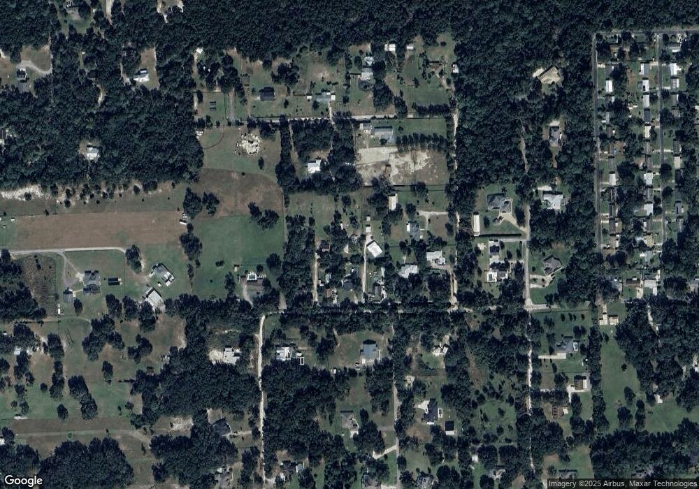
Map
- 1355 Taylor Rd W
- 1595 Margaret St
- 0 W Beresford Rd Unit MFRV4941057
- 1367 Blue Ash Ln
- 1386 Inkberry Cir
- 1537 S Spring Garden Ave
- 1363 Blue Ash Ln
- 1394 Inkberry Cir
- 1788 Oakey Ave
- 1299 Woodline Dr
- 1359 Woodline Dr
- 1205 White Ash Loop
- 1258 Happy Forest Lp
- 1221 White Ash Loop
- 1026 W Beresford Rd
- 1262 Woodline Dr
- 1237 White Ash Loop
- 1325 S Spring Garden Ave
- 1551 S Boundary St
- 1152 Blue Garden Dr
- 1379 Taylor Rd W
- 1375 Taylor Rd W
- 1377 Taylor Rd W
- 1375 Taylor Rd W
- 1329 Taylor Rd W
- 1381 Taylor Rd W
- 1315 Taylor Rd W
- 1560 S Pearl St
- 0 Windham Ct Unit 1068393
- 0 Windham Ct Unit V4912297
- 1397 Taylor Rd W
- 1319 Taylor Rd W
- 1350 Barrel Springs Trail
- 1395 Taylor Rd W
- 1305 Taylor Rd W
- 1760 Windham Ct
- 1532 S Pearl St
- 0 Kim Denise Ct
- 1399 Taylor Rd W
- 1320 Taylor Rd W
Ask me questions while you tour the home.