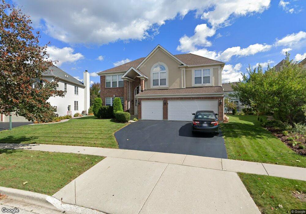
1375 Maple Cir Unit 1 West Dundee, IL 60118
Estimated Value: $539,506 - $614,000
About This Home
This home is located at 1375 Maple Cir Unit 1, West Dundee, IL 60118 and is currently estimated at $574,127, approximately $198 per square foot. 1375 Maple Cir Unit 1 is a home located in Kane County with nearby schools including Dundee Highlands Elementary School, Dundee Middle School, and Harry D Jacobs High School.
Ownership History
We collect this data history from publicly available records. To have your information removed, we recommend requesting removal directly through your county’s website.
Purchase Details
Home Financials for this Owner
Home Financials are based on the most recent Mortgage that was taken out on this home.Home Values in the Area
Average Home Value in this Area
Purchase History
We collect this data history from publicly available records. To have your information removed, we recommend requesting removal directly through your county’s website.
| Date | Buyer | Sale Price | Title Company |
|---|---|---|---|
| $395,000 | Ticor Title Insurance Co |
Mortgage History
We collect this data history from publicly available records. To have your information removed, we recommend requesting removal directly through your county’s website.
| Date | Status | Borrower | Loan Amount |
|---|---|---|---|
| Closed | $284,850 |
Tax History
We collect this data history from publicly available records. To have your information removed, we recommend requesting removal directly through your county’s website.
| Year | Tax Paid | Tax Assessment Tax Assessment Total Assessment is a certain percentage of the fair market value that is determined by local assessors to be the total taxable value of land and additions on the property. | Land | Improvement |
|---|---|---|---|---|
| 2024 | $11,591 | $150,197 | $26,492 | $123,705 |
| 2023 | $10,880 | $135,143 | $23,837 | $111,306 |
| 2022 | $11,195 | $133,072 | $23,837 | $109,235 |
| 2021 | $10,811 | $125,646 | $22,507 | $103,139 |
| 2020 | $10,614 | $122,821 | $22,001 | $100,820 |
| 2019 | $11,002 | $124,355 | $20,886 | $103,469 |
| 2018 | $10,656 | $117,731 | $20,472 | $97,259 |
| 2017 | $10,159 | $110,132 | $19,151 | $90,981 |
| 2016 | $10,360 | $106,635 | $18,543 | $88,092 |
| 2015 | -- | $103,010 | $21,296 | $81,714 |
| 2014 | -- | $100,165 | $20,708 | $79,457 |
| 2013 | -- | $103,231 | $21,342 | $81,889 |
Map
- 1403 Karen Dr
- 1410 Grand Pointe Blvd
- 2653 Maple Cir Unit 2
- 2702 Oak Dr
- 36W461 Binnie Rd
- 36W340 Huntley Rd
- 2433 Smalley Ct
- 1601 Higgins Rd
- 2660 Chesire Ct
- 2661 Chesire Ct
- 414 Spring Ct W Unit 13414
- 1027 Shagbark Ln
- 1025 Shagbark Ln
- 6850 Huntley Rd
- lot 009 Huntley Rd
- 1021 Shagbark Ln
- 2011 Glenmoor Dr
- 1019 Shagbark Ln
- 1017 Shagbark Ln
- 1015 Shagbark Ln
Ask me questions while you tour the home.