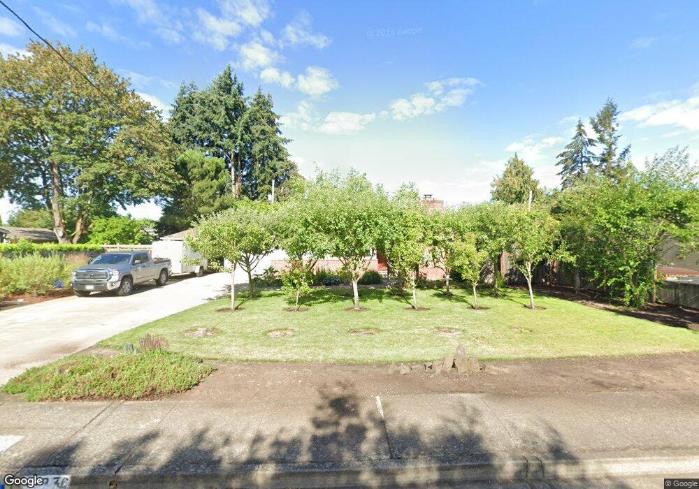
1376 Bogart Ln Eugene, OR 97401
Harlow NeighborhoodEstimated Value: $605,000 - $665,000
4
Beds
2
Baths
1,998
Sq Ft
$318/Sq Ft
Est. Value
About This Home
This home is located at 1376 Bogart Ln, Eugene, OR 97401 and is currently estimated at $635,607, approximately $318 per square foot. 1376 Bogart Ln is a home located in Lane County with nearby schools including Holt Elementary School, Monroe Middle School, and Sheldon High School.
Ownership History
Date
Name
Owned For
Owner Type
Purchase Details
Closed on
Sep 5, 2019
Sold by
Adkins Mark and Adkins Susan E
Bought by
Adkins Ryan L
Current Estimated Value
Home Financials for this Owner
Home Financials are based on the most recent Mortgage that was taken out on this home.
Original Mortgage
$320,000
Outstanding Balance
$279,652
Interest Rate
3.7%
Mortgage Type
New Conventional
Estimated Equity
$355,955
Purchase Details
Closed on
Mar 29, 2016
Sold by
Adkins Mark
Bought by
Adkins Mark and Adkins Susan E
Purchase Details
Closed on
Jul 30, 2012
Sold by
Johnsen Patricia E
Bought by
Adkins Mark
Create a Home Valuation Report for This Property
The Home Valuation Report is an in-depth analysis detailing your home's value as well as a comparison with similar homes in the area
Home Values in the Area
Average Home Value in this Area
Purchase History
| Date | Buyer | Sale Price | Title Company |
|---|---|---|---|
| Adkins Ryan L | $416,000 | Cascade Title Co | |
| Adkins Mark | -- | Cascade Title Company | |
| Adkins Mark | $165,000 | First American Title |
Source: Public Records
Mortgage History
| Date | Status | Borrower | Loan Amount |
|---|---|---|---|
| Open | Adkins Ryan L | $320,000 |
Source: Public Records
Tax History
| Year | Tax Paid | Tax Assessment Tax Assessment Total Assessment is a certain percentage of the fair market value that is determined by local assessors to be the total taxable value of land and additions on the property. | Land | Improvement |
|---|---|---|---|---|
| 2025 | $6,876 | $352,922 | -- | -- |
| 2024 | $6,791 | $342,643 | -- | -- |
| 2023 | $6,791 | $332,664 | $0 | $0 |
| 2022 | $6,362 | $322,975 | $0 | $0 |
| 2021 | $5,975 | $313,568 | $0 | $0 |
| 2020 | $5,996 | $304,435 | $0 | $0 |
| 2019 | $5,791 | $295,568 | $0 | $0 |
| 2018 | $5,423 | $278,602 | $0 | $0 |
| 2017 | $5,083 | $278,602 | $0 | $0 |
| 2016 | $4,762 | $270,487 | $0 | $0 |
| 2015 | $4,668 | $262,609 | $0 | $0 |
| 2014 | $4,521 | $254,960 | $0 | $0 |
Source: Public Records
Map
Nearby Homes
- 0 Sprig Ln Unit Lot 3
- 0 Sprig Ln Unit Lot 3 766109892
- 1491 Victorian Way
- 2956 Willakenzie Rd
- 1564 Regency Dr
- 1271 Arcadia Dr
- 1630 Ridgley Blvd
- 825 Waverly St
- 3700 Babcock Ln Unit 106
- 950 Coburg Rd
- 1090 Corydon St
- 2872 Suffolk Ct
- 2746 Harlow Rd
- 2580 Elysium Ave
- 2345 Pioneer Pike
- 2577 Elysium Ave
- 600 Cherry Dr Unit 8
- 600 Cherry Dr Unit 3
- 2994 Dapple Way
- 2495 Jeppesen Acres Rd
- 1382 Bogart Ln
- 1354 Bogart Ln
- 1384 Bogart Ln
- 1347 Martingale St
- 1333 Martingale St
- 1353 Martingale St
- 1338 Bogart Ln
- 1381 Bogart Ln
- 1321 Martingale St
- 1375 Bogart Ln
- 1396 Bogart Ln
- 1351 Bogart Ln
- 1398 Bogart Ln
- 1369 Martingale St
- 1309 Martingale St
- 1399 Bogart Ln
- 1385 Bogart Ln
- 1377 Martingale St
- 1410 Bogart Ln
- 1337 Bogart Ln
Your Personal Tour Guide
Ask me questions while you tour the home.