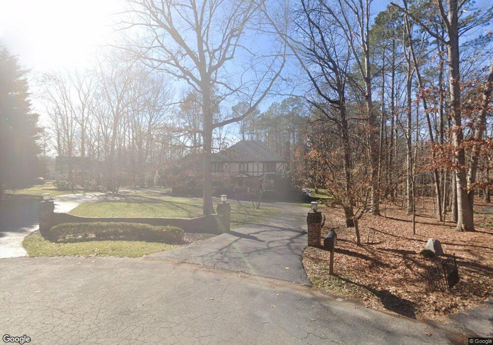
13761 Lintel Ln Midlothian, VA 23113
Salisbury NeighborhoodEstimated Value: $791,000 - $840,000
5
Beds
3
Baths
3,254
Sq Ft
$249/Sq Ft
Est. Value
About This Home
This home is located at 13761 Lintel Ln, Midlothian, VA 23113 and is currently estimated at $811,240, approximately $249 per square foot. 13761 Lintel Ln is a home located in Chesterfield County with nearby schools including Bettie Weaver Elementary School, Midlothian Middle School, and Midlothian High School.
Ownership History
Date
Name
Owned For
Owner Type
Purchase Details
Closed on
May 6, 2008
Sold by
O'toole Dennis M
Bought by
Charlet William R
Current Estimated Value
Home Financials for this Owner
Home Financials are based on the most recent Mortgage that was taken out on this home.
Original Mortgage
$364,800
Outstanding Balance
$223,277
Interest Rate
5.93%
Mortgage Type
New Conventional
Estimated Equity
$587,963
Create a Home Valuation Report for This Property
The Home Valuation Report is an in-depth analysis detailing your home's value as well as a comparison with similar homes in the area
Home Values in the Area
Average Home Value in this Area
Purchase History
We collect this data history from publicly available records. To have your information removed, we recommend requesting removal directly through your county’s website.
| Date | Buyer | Sale Price | Title Company |
|---|---|---|---|
| Charlet William R | $456,000 | -- |
Source: Public Records
Mortgage History
We collect this data history from publicly available records. To have your information removed, we recommend requesting removal directly through your county’s website.
| Date | Status | Borrower | Loan Amount |
|---|---|---|---|
| Open | Charlet William R | $364,800 |
Source: Public Records
Tax History
| Year | Tax Paid | Tax Assessment Tax Assessment Total Assessment is a certain percentage of the fair market value that is determined by local assessors to be the total taxable value of land and additions on the property. | Land | Improvement |
|---|---|---|---|---|
| 2025 | $6,303 | $653,800 | $131,000 | $522,800 |
| 2024 | $5,844 | $610,900 | $111,000 | $499,900 |
| 2023 | $5,224 | $574,100 | $106,000 | $468,100 |
| 2022 | $4,921 | $534,900 | $103,000 | $431,900 |
| 2021 | $4,689 | $486,600 | $101,000 | $385,600 |
| 2020 | $4,467 | $470,200 | $101,000 | $369,200 |
| 2019 | $4,467 | $470,200 | $101,000 | $369,200 |
| 2018 | $4,271 | $449,600 | $101,000 | $348,600 |
| 2017 | $4,161 | $433,400 | $100,000 | $333,400 |
| 2016 | $4,094 | $426,500 | $96,000 | $330,500 |
| 2015 | $3,978 | $411,800 | $96,000 | $315,800 |
| 2014 | $3,838 | $397,200 | $96,000 | $301,200 |
Source: Public Records
Map
Nearby Homes
- 2531 Arrandell Rd
- 2540 Kentford Rd
- 3201 E Brigstock Rd
- 2725 Stonegate Ct
- 13704 Durhamshire Ct
- 2736 Royal Crest Dr
- 13311 Glendower Rd
- 14321 Crossings Ridge Dr
- 14300 Fulford Ct
- 14240 Kenmont Dr
- 13637 Langford Dr
- 3304 Crossings Way
- 2615 Salisbury Rd
- 13030 River Hills Dr
- 3201 Saint Stephens Way
- 3614 Rivermist Ct
- 2331 Chartstone Dr
- 2301 Chartstone Dr
- 2101 Castlebridge Rd
- 2611 Olde Stone Rd
- 13760 Lintel Ln
- 13751 Lintel Ln
- 2911 Barrow Place
- 2851 Barrow Place
- 2921 Barrow Place
- 13750 Lintel Ln
- 2841 Barrow Place
- 13741 Lintel Ln
- 2941 E Brigstock Rd
- 2831 Barrow Place
- 3001 E Brigstock Rd
- 13740 Lintel Ln
- 2931 E Brigstock Rd
- 3011 E Brigstock Rd
- 2900 Barrow Place
- 2910 Barrow Place
- 13731 Lintel Ln
- 3021 E Brigstock Rd
- 2821 Barrow Place
- 13730 Lintel Ln
Your Personal Tour Guide
Ask me questions while you tour the home.