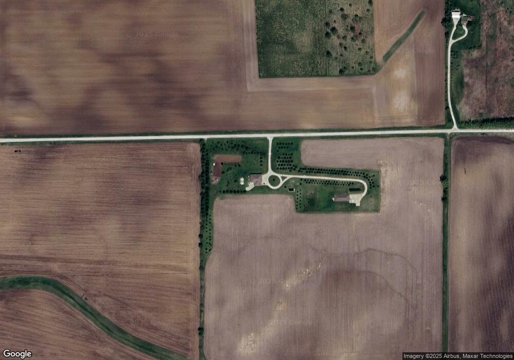
13770 Harter Rd Dekalb, IL 60115
--
Bed
--
Bath
--
Sq Ft
--
Built
About This Home
This home is located at 13770 Harter Rd, Dekalb, IL 60115. 13770 Harter Rd is a home with nearby schools including Hinckley-Big Rock Elementary School, Hinckley-Big Rock Middle School, and Hinckley-Big Rock High School.
Create a Home Valuation Report for This Property
The Home Valuation Report is an in-depth analysis detailing your home's value as well as a comparison with similar homes in the area
Home Values in the Area
Average Home Value in this Area
Tax History
We collect this data history from publicly available records. To have your information removed, we recommend requesting removal directly through your county’s website.
| Year | Tax Paid | Tax Assessment Tax Assessment Total Assessment is a certain percentage of the fair market value that is determined by local assessors to be the total taxable value of land and additions on the property. | Land | Improvement |
|---|---|---|---|---|
| 2025 | $7,640 | $121,773 | $55,199 | $66,574 |
| 2024 | $7,640 | $112,845 | $51,259 | $61,586 |
| 2023 | $7,444 | $103,248 | $46,928 | $56,320 |
| 2022 | $7,444 | $100,548 | $45,022 | $55,526 |
| 2021 | $7,688 | $93,878 | $41,868 | $52,010 |
| 2020 | $7,377 | $88,517 | $39,237 | $49,280 |
| 2019 | $7,081 | $84,598 | $37,168 | $47,430 |
| 2018 | $7,071 | $80,588 | $35,140 | $45,448 |
| 2017 | $6,750 | $75,524 | $32,810 | $42,714 |
| 2016 | $6,656 | $72,126 | $31,102 | $41,024 |
| 2015 | -- | $67,853 | $29,151 | $38,702 |
| 2014 | -- | $66,785 | $28,432 | $38,353 |
| 2013 | -- | $67,647 | $28,185 | $39,462 |
Source: Public Records
Map
Nearby Homes
- 17093 Somonauk Rd
- 12903 Perry Rd
- 17207 Chase Rd
- 529 Preston St
- 527 Preston St
- 523 Preston St
- 519 Preston St
- 513 Preston St
- 511 Preston St
- 15555 Mcgirr Rd
- 446 Preston St
- 448 Preston St
- 12539 Fairview Dr
- 200 S Oak St
- TBD Peace Rd
- 18.6 Acre Lot Fairview Dr
- TBD Fairview Dr
- 16723 Illinois 38
- 97 W Pine Ave
- 34 W Amber Ave
Your Personal Tour Guide
Ask me questions while you tour the home.