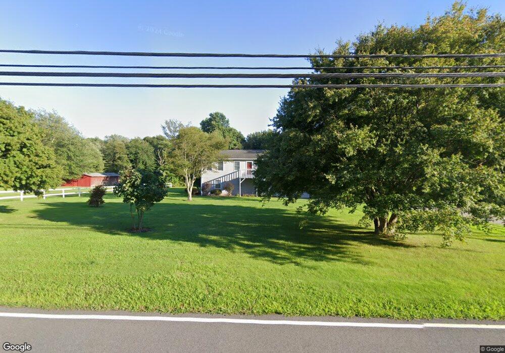
138 Sharp Hill Rd Uncasville, CT 06382
Oxoboxo River NeighborhoodEstimated Value: $295,000 - $381,000
2
Beds
2
Baths
960
Sq Ft
$361/Sq Ft
Est. Value
About This Home
This home is located at 138 Sharp Hill Rd, Uncasville, CT 06382 and is currently estimated at $346,460, approximately $360 per square foot. 138 Sharp Hill Rd is a home located in New London County with nearby schools including Leonard J. Tyl Middle School and Montville High School.
Ownership History
Date
Name
Owned For
Owner Type
Purchase Details
Closed on
May 6, 2009
Sold by
Reyes Michael S and Reyes Amy R
Bought by
Curtin Timothy J
Current Estimated Value
Home Financials for this Owner
Home Financials are based on the most recent Mortgage that was taken out on this home.
Original Mortgage
$182,700
Outstanding Balance
$115,744
Interest Rate
4.9%
Estimated Equity
$230,716
Purchase Details
Closed on
May 31, 1991
Sold by
Worldwide Consulting
Bought by
Staub Mark and Staub Nancy
Create a Home Valuation Report for This Property
The Home Valuation Report is an in-depth analysis detailing your home's value as well as a comparison with similar homes in the area
Home Values in the Area
Average Home Value in this Area
Purchase History
| Date | Buyer | Sale Price | Title Company |
|---|---|---|---|
| Curtin Timothy J | $203,000 | -- | |
| Curtin Timothy J | $203,000 | -- | |
| Staub Mark | $105,000 | -- | |
| Staub Mark | $105,000 | -- |
Source: Public Records
Mortgage History
| Date | Status | Borrower | Loan Amount |
|---|---|---|---|
| Open | Staub Mark | $182,700 | |
| Closed | Staub Mark | $182,700 | |
| Previous Owner | Staub Mark | $180,000 |
Source: Public Records
Tax History
| Year | Tax Paid | Tax Assessment Tax Assessment Total Assessment is a certain percentage of the fair market value that is determined by local assessors to be the total taxable value of land and additions on the property. | Land | Improvement |
|---|---|---|---|---|
| 2025 | $3,908 | $135,380 | $31,640 | $103,740 |
| 2024 | $3,760 | $135,380 | $31,640 | $103,740 |
| 2023 | $3,760 | $135,380 | $31,640 | $103,740 |
| 2022 | $3,616 | $135,380 | $31,640 | $103,740 |
| 2021 | $2,006 | $122,060 | $37,270 | $84,790 |
| 2020 | $2,006 | $122,060 | $37,270 | $84,790 |
| 2019 | $3,968 | $122,060 | $37,270 | $84,790 |
| 2018 | $2,006 | $122,060 | $37,260 | $84,800 |
| 2017 | $3,869 | $122,060 | $37,260 | $84,800 |
| 2016 | $3,975 | $129,850 | $43,730 | $86,120 |
| 2015 | $3,975 | $129,850 | $43,730 | $86,120 |
| 2014 | $3,814 | $129,850 | $43,730 | $86,120 |
Source: Public Records
Map
Nearby Homes
- 571 Old Colchester Rd
- 320 Maple Ave
- 79 Cottonwood Ln
- 0 Monahan Dr
- 76 Gay Hill Rd
- 355 Route 163
- 66 Rainbow Dr
- 31 Bridge St
- 25 Heather Brook Rd
- 2 Fawns Meadow Rd
- 82C Pires Dr
- 4 Pequot Rd
- 16 Greystone Dr
- 19 Moxley Rd
- 11 Mayo Ave
- 455 Chesterfield Rd
- 5 Blumenthal Dr
- 11 Blumenthal Dr
- 107 Woodland Dr Unit B
- 4 Brewer St
- 154 Sharp Hill Rd
- 609 Old Colchester Rd
- 145 Sharp Hill Rd
- 130 Sharp Hill Rd
- 601 Old Colchester Rd
- 153 Sharp Hill Rd
- 617 Old Colchester Rd
- 597 Old Colchester Rd
- 623 Old Colchester Rd
- 131 Sharp Hill Rd
- 633 Old Colchester Rd
- 128 Sharp Hill Rd
- 589 Old Colchester Rd
- 600 Old Colchester Rd
- 637 Old Colchester Rd
- 590 Old Colchester Rd
- 583 Old Colchester Rd
- 116 Sharp Hill Rd
- 620 Old Colchester Rd
- 119 Sharp Hill Rd
Your Personal Tour Guide
Ask me questions while you tour the home.