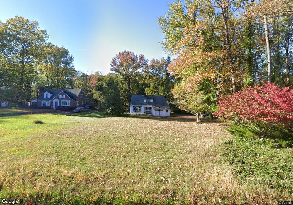
1381 Cushing Rd Unit 89 Plainfield, NJ 07062
Estimated Value: $404,193 - $486,000
Studio
--
Bath
980
Sq Ft
$460/Sq Ft
Est. Value
About This Home
This home is located at 1381 Cushing Rd Unit 89, Plainfield, NJ 07062 and is currently estimated at $450,798, approximately $459 per square foot. 1381 Cushing Rd Unit 89 is a home located in Union County with nearby schools including Frederic W. Cook School, Emerson Community School, and Maxson Middle School.
Ownership History
Date
Name
Owned For
Owner Type
Purchase Details
Closed on
Sep 5, 1995
Sold by
Goodman George W and Goodman Jane E
Bought by
Taylor Harry James and Taylor Sherry Mason
Current Estimated Value
Create a Home Valuation Report for This Property
The Home Valuation Report is an in-depth analysis detailing your home's value as well as a comparison with similar homes in the area
Home Values in the Area
Average Home Value in this Area
Purchase History
We collect this data history from publicly available records. To have your information removed, we recommend requesting removal directly through your county’s website.
| Date | Buyer | Sale Price | Title Company |
|---|---|---|---|
| Taylor Harry James | $180,000 | -- |
Source: Public Records
Tax History
| Year | Tax Paid | Tax Assessment Tax Assessment Total Assessment is a certain percentage of the fair market value that is determined by local assessors to be the total taxable value of land and additions on the property. | Land | Improvement |
|---|---|---|---|---|
| 2025 | $10,042 | $115,000 | $74,600 | $40,400 |
| 2024 | $9,943 | $115,000 | $74,600 | $40,400 |
| 2023 | $9,943 | $115,000 | $74,600 | $40,400 |
| 2022 | $9,728 | $115,000 | $74,600 | $40,400 |
| 2021 | $9,643 | $115,000 | $74,600 | $40,400 |
| 2020 | $9,615 | $115,000 | $74,600 | $40,400 |
| 2019 | $9,615 | $115,000 | $74,600 | $40,400 |
| 2018 | $9,414 | $115,000 | $74,600 | $40,400 |
| 2017 | $9,871 | $123,600 | $74,600 | $49,000 |
| 2016 | $9,669 | $123,600 | $74,600 | $49,000 |
| 2015 | $9,384 | $123,600 | $74,600 | $49,000 |
| 2014 | $9,129 | $123,600 | $74,600 | $49,000 |
Source: Public Records
Map
Nearby Homes
- 1450 Cushing Rd
- 15 Laurie Ct
- 1101 Terrill Rd
- 837 Coolidge St Unit 39
- 26 Allenby Ln
- 812 Sterling St Unit 18
- 519 Terrill Rd
- 1018 Leland Ave
- 1006 Leland Ave
- 481 Terrill Rd
- 1224 Sunnyfield Ln
- 196 Vinton Cir
- 19 Highlander Dr
- 1246 Lansdowne Terrace Unit 50
- 11 Allenby Ln
- 917 Fernwood Ave Unit 23
- 47 La Grande Ave
- 22 Helen St
- 889 Fernwood Ave Unit 93
- 207 2nd St
- 1369 Cushing Rd Unit 79
- 1355 Cushing Rd Unit 67
- 959 Knollwood Ct Unit 65
- 1343 Cushing Rd Unit 53
- 1353 Cushing Rd
- 1343-53 Cushing Rd
- 951 Knollwood Ct Unit 57
- 1 Kevin Rd
- 943 Knollwood Ct Unit 49
- 935 Knollwood Ct Unit 41
- 2 Julia Ct
- 927 Knollwood Ct Unit 33
- 2 Kevin Rd
- 3 Kevin Rd
- 946 Knollwood Ct Unit 58
- 968 Knollwood Ct Unit 74
- 974 Knollwood Ct
- 1 Julia Ct
- 938 Knollwood Ct Unit 44
- 940 Knollwood Ct
Your Personal Tour Guide
Ask me questions while you tour the home.