139 Apache Way Tewksbury, MA 01876
Estimated Value: $473,000 - $490,000
2
Beds
2
Baths
1,274
Sq Ft
$380/Sq Ft
Est. Value
About This Home
This home is located at 139 Apache Way, Tewksbury, MA 01876 and is currently estimated at $483,734, approximately $379 per square foot. 139 Apache Way is a home located in Middlesex County with nearby schools including Heath-Brook Elementary School, John W. Wynn Middle School, and John F. Ryan Elementary School.
Ownership History
Date
Name
Owned For
Owner Type
Purchase Details
Closed on
Oct 28, 1994
Sold by
Becht Stephen J
Bought by
Maguire Daniel and Maguire Anne Marie
Current Estimated Value
Home Financials for this Owner
Home Financials are based on the most recent Mortgage that was taken out on this home.
Original Mortgage
$107,000
Interest Rate
8.65%
Mortgage Type
Purchase Money Mortgage
Create a Home Valuation Report for This Property
The Home Valuation Report is an in-depth analysis detailing your home's value as well as a comparison with similar homes in the area
Home Values in the Area
Average Home Value in this Area
Purchase History
| Date | Buyer | Sale Price | Title Company |
|---|---|---|---|
| Maguire Daniel | $112,900 | -- |
Source: Public Records
Mortgage History
| Date | Status | Borrower | Loan Amount |
|---|---|---|---|
| Open | Maguire Daniel | $75,000 | |
| Closed | Maguire Daniel | $107,000 |
Source: Public Records
Tax History
| Year | Tax Paid | Tax Assessment Tax Assessment Total Assessment is a certain percentage of the fair market value that is determined by local assessors to be the total taxable value of land and additions on the property. | Land | Improvement |
|---|---|---|---|---|
| 2025 | $5,759 | $435,600 | $0 | $435,600 |
| 2024 | $5,320 | $397,300 | $0 | $397,300 |
| 2023 | $4,905 | $347,900 | $0 | $347,900 |
| 2022 | $4,800 | $315,800 | $0 | $315,800 |
| 2021 | $4,703 | $299,200 | $0 | $299,200 |
| 2020 | $4,674 | $292,700 | $0 | $292,700 |
| 2019 | $4,038 | $254,900 | $0 | $254,900 |
| 2018 | $4,045 | $250,800 | $0 | $250,800 |
| 2017 | $3,802 | $233,100 | $0 | $233,100 |
| 2016 | $3,543 | $216,700 | $0 | $216,700 |
| 2015 | $3,179 | $194,200 | $0 | $194,200 |
| 2014 | $3,093 | $192,000 | $0 | $192,000 |
Source: Public Records
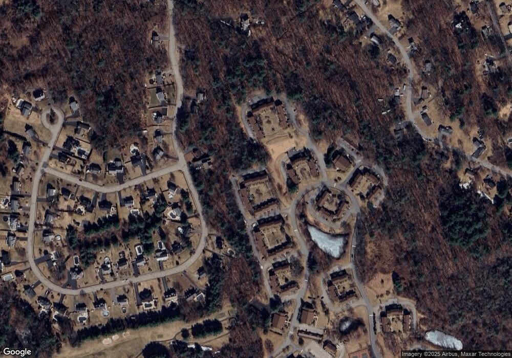
Map
Nearby Homes
- 81 Apache Way
- 72 Apache Way
- 47 Apache Way
- 258 Apache Way
- 1283 Shawsheen St
- 127 Caddy Ct
- 107 Eagle Dr Unit 107
- 41 Bridge St
- 55 Eagle Dr Unit 156
- 20 Kensington Way Unit 20
- 26 Ironwood Ln
- 1235 South St
- 161 Patrick Rd
- 640 South St
- 17 Ellington Rd
- 1418 Main St Unit 104
- 4 Villa Roma Dr
- 1325 Main
- 14 Jill's Way Unit 14
- 18 Knollwood Rd
- 144 Apache Way
- 143 Apache Way
- 142 Apache Way
- 141 Apache Way
- 140 Apache Way
- 142 Apache Way
- 142 Apache Way Unit 142
- 144 Apache Way Unit 144
- 140 Apache Way Unit 140
- 150 Apache Way
- 149 Apache Way
- 148 Apache Way
- 147 Apache Way
- 146 Apache Way
- 145 Apache Way
- 149 Apache Way Unit 149
- 150 Apache Way Unit 150
- 156 Apache Way
- 155 Apache Way
- 154 Apache Way
Your Personal Tour Guide
Ask me questions while you tour the home.