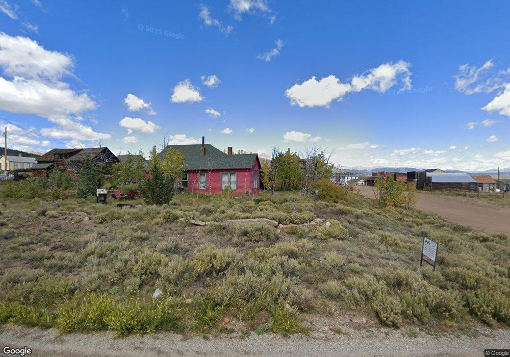
139 Breech Trail Como, CO 80432
Estimated Value: $82,866 - $119,000
1
Bed
1
Bath
147
Sq Ft
$655/Sq Ft
Est. Value
About This Home
This home is located at 139 Breech Trail, Como, CO 80432 and is currently estimated at $96,217, approximately $654 per square foot. 139 Breech Trail is a home located in Park County with nearby schools including Edith Teter Elementary School, South Park Middle School, and South Park High School.
Ownership History
Date
Name
Owned For
Owner Type
Purchase Details
Closed on
May 6, 2022
Sold by
Miller Nathaniel F
Bought by
Ashby Sandra R
Current Estimated Value
Purchase Details
Closed on
Aug 8, 2013
Sold by
Realvest Inc
Bought by
Miller Nathaniel F
Home Financials for this Owner
Home Financials are based on the most recent Mortgage that was taken out on this home.
Original Mortgage
$17,145
Interest Rate
12%
Mortgage Type
Seller Take Back
Create a Home Valuation Report for This Property
The Home Valuation Report is an in-depth analysis detailing your home's value as well as a comparison with similar homes in the area
Home Values in the Area
Average Home Value in this Area
Purchase History
| Date | Buyer | Sale Price | Title Company |
|---|---|---|---|
| Ashby Sandra R | $85,500 | Land Title | |
| Miller Nathaniel F | $19,900 | None Available |
Source: Public Records
Mortgage History
| Date | Status | Borrower | Loan Amount |
|---|---|---|---|
| Previous Owner | Miller Nathaniel F | $17,145 |
Source: Public Records
Tax History
| Year | Tax Paid | Tax Assessment Tax Assessment Total Assessment is a certain percentage of the fair market value that is determined by local assessors to be the total taxable value of land and additions on the property. | Land | Improvement |
|---|---|---|---|---|
| 2025 | $512 | $8,610 | $8,610 | $0 |
| 2024 | $491 | $8,620 | $8,620 | $0 |
| 2023 | $491 | $8,959 | $8,959 | $0 |
| 2022 | $393 | $6,048 | $6,048 | $0 |
| 2021 | $387 | $6,048 | $6,048 | $0 |
| 2020 | $261 | $3,970 | $3,970 | $0 |
| 2019 | $253 | $3,970 | $3,970 | $0 |
| 2018 | $245 | $3,970 | $3,970 | $0 |
| 2017 | $211 | $3,770 | $3,770 | $0 |
| 2016 | $169 | $2,970 | $2,970 | $0 |
| 2015 | $172 | $2,970 | $2,970 | $0 |
| 2014 | $184 | $0 | $0 | $0 |
Source: Public Records
Map
Nearby Homes
- 810 Buffalo Ridge Rd
- 3646 Remington Rd
- 160 Rhyolite Dr
- 688 Ouray Trail
- 1404 Buffalo Ridge Rd
- 123 Jims Way
- 538 Remington Rd
- 499 Kiowa St
- 111 Antelope Way
- 646 Antelope Way
- 4019 Buffalo Ridge Rd
- 205 Hawken Rd Unit 116
- 28 Idaho Ct
- 274 Folsom Dr
- 458 Remington Rd
- 3370 Remington Rd
- 50 Rawhide Way Unit 28
- TBD382 Winchester Dr
- 00 Winchester Dr Unit 382
- 943 Bear Ln
- 211 Signal Ridge Rd
- 1579 Signal Ridge Rd
- 171 Breech Trail
- 173 Signal Ridge Rd
- 268 Signal Ridge Rd
- 268 Signal Ridge Rd
- 173 Signal Ridge Rd
- 160 Breech Trail
- 105 Signal Ridge Rd
- 86 Breech Trail
- 33 Bullet
- 33 Bullet Way
- 447 Signal Ridge Rd
- 485 Signal Ridge Rd
- 575 Signal Ridge Rd
- 345 Breech Trail
- 539 Breech Way
- 3112 Remington Rd
- 60 Hawken Way
- 142 Signal Ridge Rd
Your Personal Tour Guide
Ask me questions while you tour the home.