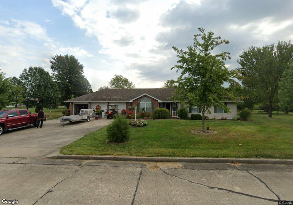
139 Kenview Ln Holts Summit, MO 65043
Estimated Value: $266,130 - $343,000
Studio
--
Bath
1,764
Sq Ft
$168/Sq Ft
Est. Value
About This Home
This home is located at 139 Kenview Ln, Holts Summit, MO 65043 and is currently estimated at $296,533, approximately $168 per square foot. 139 Kenview Ln is a home located in Callaway County with nearby schools including New Bloomfield Elementary School and New Bloomfield High School.
Ownership History
Date
Name
Owned For
Owner Type
Purchase Details
Closed on
Aug 31, 2009
Sold by
Craighead Bratt and Craighead Rebecca La Ann
Bought by
Mattern Barry M
Current Estimated Value
Purchase Details
Closed on
Apr 20, 2005
Sold by
Larkins Elmer G and Larkins Mary E
Bought by
Craighead Brett and Craighead Rebecca Lee Ann
Home Financials for this Owner
Home Financials are based on the most recent Mortgage that was taken out on this home.
Original Mortgage
$138,000
Interest Rate
5.89%
Mortgage Type
New Conventional
Create a Home Valuation Report for This Property
The Home Valuation Report is an in-depth analysis detailing your home's value as well as a comparison with similar homes in the area
Home Values in the Area
Average Home Value in this Area
Purchase History
| Date | Buyer | Sale Price | Title Company |
|---|---|---|---|
| Mattern Barry M | -- | None Available | |
| Craighead Brett | -- | -- |
Source: Public Records
Mortgage History
| Date | Status | Borrower | Loan Amount |
|---|---|---|---|
| Previous Owner | Craighead Brett | $138,000 |
Source: Public Records
Tax History
| Year | Tax Paid | Tax Assessment Tax Assessment Total Assessment is a certain percentage of the fair market value that is determined by local assessors to be the total taxable value of land and additions on the property. | Land | Improvement |
|---|---|---|---|---|
| 2025 | $1,575 | $26,657 | $0 | $0 |
| 2024 | $1,575 | $26,657 | $0 | $0 |
| 2023 | $1,575 | $26,182 | $0 | $0 |
| 2022 | $1,544 | $26,182 | $3,420 | $22,762 |
| 2021 | $1,521 | $26,182 | $3,420 | $22,762 |
| 2020 | $1,523 | $26,182 | $3,420 | $22,762 |
| 2019 | $1,490 | $26,182 | $3,420 | $22,762 |
| 2018 | $1,495 | $26,182 | $3,420 | $22,762 |
| 2017 | $1,508 | $26,182 | $3,420 | $22,762 |
| 2016 | $1,577 | $25,110 | $0 | $0 |
| 2015 | $1,570 | $25,110 | $0 | $0 |
| 2014 | -- | $24,290 | $0 | $0 |
Source: Public Records
Map
Nearby Homes
- 108 S Larand Dr
- 11 N Larand Dr
- TBD LOT 39 Payne Farm
- 58 Kirk Dr
- 61 Kirk Dr
- 54 Kirk Dr
- 60 Kirk Dr
- 56 Kirk Dr
- 55 Kirk Dr
- 59 Kirk Dr
- 57 Kirk Dr
- 2420 Kirk Dr
- 2650 Eagle View Spur
- 2670 Eagle View Spur
- 775 Vine Dr
- 2680 Eagle View Spur
- 790 Vine Dr
- 10940 Eagle Lake Ln
- 10990 Eagle Lake Ln
- 10995 Eagle Lake Ln
- 130 Manview Ln
- 137 Kenview Ln
- 138 Kenview Ln
- 128 Manview Ln
- 10772 Old Us Highway 54
- 132 Manview Ln
- 136 Kenview Ln
- 10780 Old Us Highway 54
- 131 Manview Ln
- 135 Kenview Ln
- 126 Manview Ln
- 129 Manview Ln
- 134 Kenview Ln
- 127 Manview Ln
- 80 S Larand Dr
- 82 S Larand Dr
- 78 S Larand Dr
- 131 Kenview Ln
- 84 S Larand Dr
- 64 S Larand Dr
Your Personal Tour Guide
Ask me questions while you tour the home.