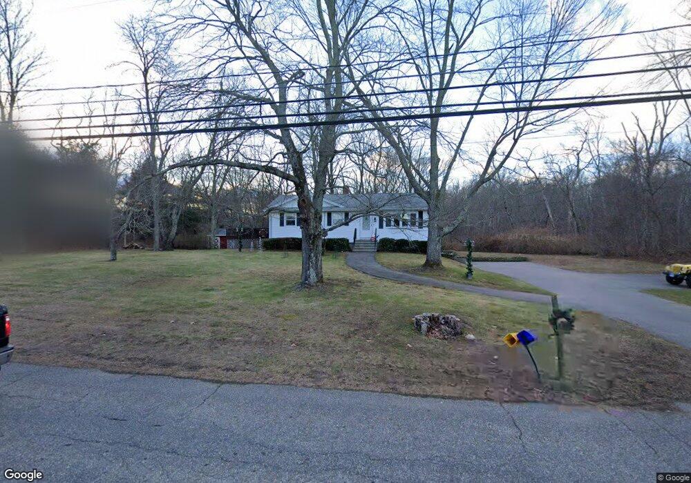
139 N River Rd Coventry, CT 06238
Estimated Value: $299,000 - $344,000
3
Beds
2
Baths
1,144
Sq Ft
$280/Sq Ft
Est. Value
About This Home
This home is located at 139 N River Rd, Coventry, CT 06238 and is currently estimated at $320,865, approximately $280 per square foot. 139 N River Rd is a home located in Tolland County with nearby schools including Coventry Grammar School, George Hersey Robertson School, and Capt. Nathan Hale School.
Ownership History
Date
Name
Owned For
Owner Type
Purchase Details
Closed on
Oct 18, 1990
Sold by
Carlson Charles
Bought by
Groskritz Gary
Current Estimated Value
Create a Home Valuation Report for This Property
The Home Valuation Report is an in-depth analysis detailing your home's value as well as a comparison with similar homes in the area
Home Values in the Area
Average Home Value in this Area
Purchase History
We collect this data history from publicly available records. To have your information removed, we recommend requesting removal directly through your county’s website.
| Date | Buyer | Sale Price | Title Company |
|---|---|---|---|
| Groskritz Gary | $141,000 | -- |
Source: Public Records
Mortgage History
We collect this data history from publicly available records. To have your information removed, we recommend requesting removal directly through your county’s website.
| Date | Status | Borrower | Loan Amount |
|---|---|---|---|
| Closed | Groskritz Gary | $180,000 | |
| Closed | Groskritz Gary | $22,500 | |
| Closed | Groskritz Gary | $113,750 |
Source: Public Records
Tax History
| Year | Tax Paid | Tax Assessment Tax Assessment Total Assessment is a certain percentage of the fair market value that is determined by local assessors to be the total taxable value of land and additions on the property. | Land | Improvement |
|---|---|---|---|---|
| 2025 | $4,785 | $201,400 | $66,800 | $134,600 |
| 2024 | $4,407 | $132,300 | $55,400 | $76,900 |
| 2023 | $4,199 | $132,300 | $55,400 | $76,900 |
| 2022 | $4,121 | $132,300 | $55,400 | $76,900 |
| 2021 | $4,121 | $132,300 | $55,400 | $76,900 |
| 2020 | $4,124 | $132,300 | $55,400 | $76,900 |
| 2019 | $4,260 | $132,300 | $55,400 | $76,900 |
| 2018 | $4,041 | $125,500 | $55,400 | $70,100 |
| 2017 | $4,016 | $125,500 | $55,400 | $70,100 |
| 2016 | $3,916 | $125,500 | $55,400 | $70,100 |
| 2015 | $3,916 | $125,500 | $55,400 | $70,100 |
| 2014 | $3,855 | $135,400 | $67,600 | $67,800 |
Source: Public Records
Map
Nearby Homes
- 864 Boston Turnpike
- 109 Sam Green Rd
- 23 Pine Knoll Dr
- 0 Englewood Trail Unit 24173868
- 2478 Main St
- 0 Daly Rd Unit 24146464
- 2392 Main St
- 403 Riley Mountain Rd
- 2288 Main St
- 37 Wolf Hill Lot (#40) Rd
- 37 Wolf Hill Rd Unit Lot 40
- 9 Deer Hill Ln
- 745 Merrow Rd Unit 192
- 745 Merrow Rd Unit 136
- 152 Cheney Ln
- 112 John Hand Dr
- 14 Joshua Ln
- 0 Seneca Trail
- 16 Gardner Tavern Rd
- 111 Depot Rd
Your Personal Tour Guide
Ask me questions while you tour the home.