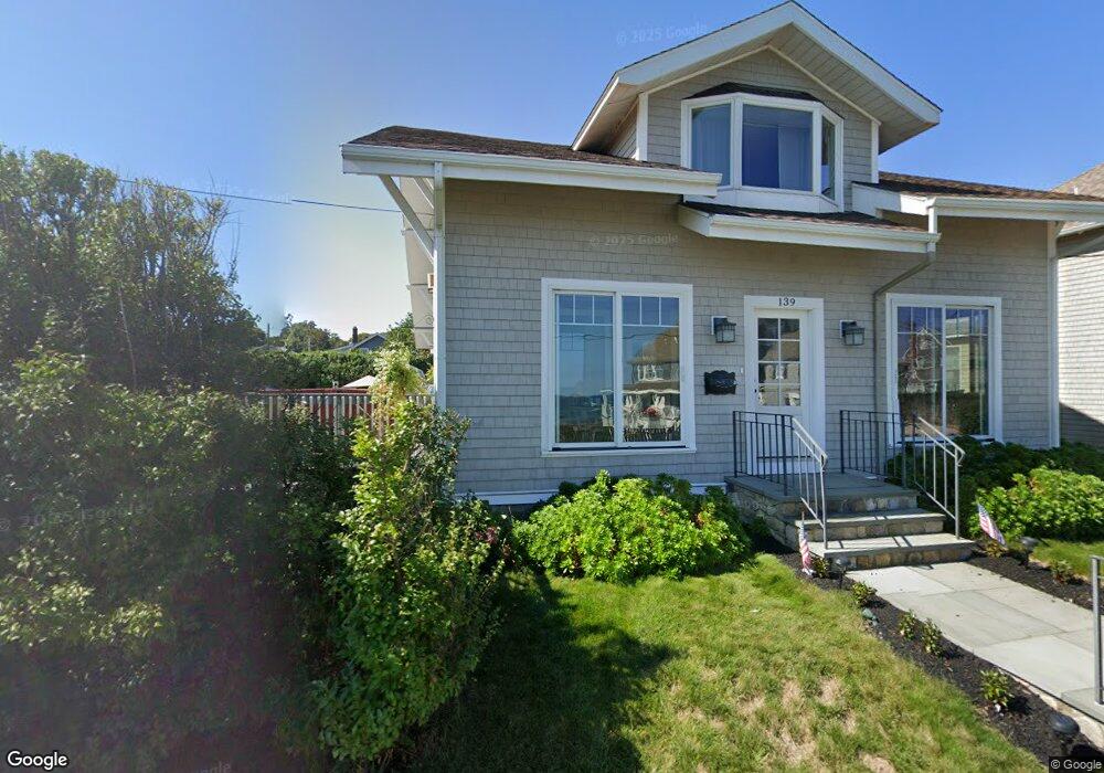
139 Oceanside Dr Scituate, MA 02066
Estimated Value: $951,000 - $1,058,000
About This Home
This home is located at 139 Oceanside Dr, Scituate, MA 02066 and is currently estimated at $1,002,499, approximately $607 per square foot. 139 Oceanside Dr is a home located in Plymouth County with nearby schools including Wampatuck Elementary School, Lester J. Gates Middle School, and Scituate High School.
Ownership History
We collect this data history from publicly available records. To have your information removed, we recommend requesting removal directly through your county’s website.
Purchase Details
Purchase Details
Purchase Details
Home Values in the Area
Average Home Value in this Area
Purchase History
We collect this data history from publicly available records. To have your information removed, we recommend requesting removal directly through your county’s website.
| Date | Buyer | Sale Price | Title Company |
|---|---|---|---|
| -- | -- | ||
| -- | -- | ||
| -- | -- |
Mortgage History
We collect this data history from publicly available records. To have your information removed, we recommend requesting removal directly through your county’s website.
| Date | Status | Borrower | Loan Amount |
|---|---|---|---|
| Previous Owner | $62,000 | ||
| Previous Owner | $70,000 | ||
| Previous Owner | $10,000 |
Tax History
We collect this data history from publicly available records. To have your information removed, we recommend requesting removal directly through your county’s website.
| Year | Tax Paid | Tax Assessment Tax Assessment Total Assessment is a certain percentage of the fair market value that is determined by local assessors to be the total taxable value of land and additions on the property. | Land | Improvement |
|---|---|---|---|---|
| 2025 | $8,435 | $844,300 | $480,800 | $363,500 |
| 2024 | $8,272 | $798,500 | $437,100 | $361,400 |
| 2023 | $7,658 | $719,300 | $397,400 | $321,900 |
| 2022 | $7,658 | $606,800 | $334,800 | $272,000 |
| 2021 | $7,338 | $550,500 | $318,900 | $231,600 |
| 2020 | $7,164 | $530,700 | $306,600 | $224,100 |
| 2019 | $7,044 | $512,700 | $300,600 | $212,100 |
| 2018 | $6,573 | $471,200 | $295,200 | $176,000 |
| 2017 | $5,935 | $421,200 | $284,700 | $136,500 |
| 2016 | $5,889 | $416,500 | $284,700 | $131,800 |
| 2015 | $5,319 | $406,000 | $274,200 | $131,800 |
Map
- 13 6th Ave
- 20 6th Ave
- 20 Garden Rd
- 5 Brand Blvd Unit 5
- 57 Oceanside Dr
- 37 11th Ave
- 33 Oceanside Dr
- 18 Oceanside Dr
- 24 Merritt Ln
- 6 Spaulding Ave
- 5 Otis Rd
- 153 Jericho Rd Unit 2
- 32 Barker Rd Unit 3
- 43 Jackson Rd
- 20 Rebecca Rd
- 49 James Way
- 11 Brookline Rd
- 171 Lawson Rd
- 6 Jackson Rd
- 74 Branch St Unit 15
- 138 Oceanside Dr
- 134 Oceanside Dr
- 134 Oceanside Dr Unit 1
- 134 Oceanside Dr Unit 134
- 134 Oceanside Dr Unit 7/20-7/27
- 134 Oceanside Dr Unit (Winter)
- 142 Oceanside Dr
- 141 Oceanside Dr
- 144 Oceanside Dr
- 130 Oceanside Dr
- 135 Oceanside Dr
- 22 1st Ave
- 146 Oceanside Dr
- 27 1st Ave
- 17 2nd Ave
- 20 1st Ave
- 35 2nd Ave
- 18 2nd Ave
- 129 Oceanside Dr
- 23 1st Ave
Ask me questions while you tour the home.